John and Frederica Johnson Memorial Camp
Campground
Campground · 4.0 mi from the trail
Belding Path is a short, easy hike in Connecticut, about 0.4 miles long and rising just 15 feet from its low point of 339 feet to a high of 381 feet. It is a point-to-point route, and the climb is flat for most of the way, with the steepest stretch at about 0.3 miles in, where the grade reaches 8 percent. The nearest town is Vernon Center, about 1.5 miles away. Summer and early fall are the most comfortable times to go. Typical averages from a nearby weather station in Storrs run from highs around 76°F in June to about 73°F in September, with July the warmest at 80°F. Winter is cold, with January highs near 35°F. The trip takes about half an hour. Bikes and horses are not allowed on this route. The Boulder Crest Inner Loop and Outer Loop are both about a mile away, and the Main Road Trail is roughly 1.6 miles off. Paddlers can reach the Hockanum River, about 2.6 miles away.
John and Frederica Johnson Memorial Camp
Campground
New England Pizza
Restaurant
 If it rainsJohn Phelan, CC BY-SA 4.0 · Wikimedia Commons
Places © OpenStreetMap contributors · Photos: John Phelan, CC BY-SA 4.0 (commons)
More in MiddletownBest months: April and June–October. Best months have typical highs of 55–85 °F, lows of 30 °F or warmer (32 °F where the station doesn't record snow), at most one snowy day and no more than 12 wet days.
Jan
35° / 19°
10 wet
Feb
37° / 20°
9 wet
Mar
45° / 28°
10 wet
Apr
57° / 38°
11 wet
May
68° / 48°
13 wet
Jun
76° / 57°
11 wet
Jul
80° / 63°
10 wet
Aug
79° / 61°
9 wet
Sep
73° / 54°
9 wet
Oct
61° / 43°
10 wet
Nov
50° / 34°
9 wet
Dec
40° / 25°
10 wet
Typical high / low (°F) and days with rain or snow, 1991–2020. Measured at Storrs, CT, 11.4 mi away at 665 ft. This station doesn't record snowfall. Source: NOAA NCEI U.S. Climate Normals 1991–2020.
 Photo: jjbers, CC BY 2.0 (via Flickr)
Yellow Trail
~5 min drive
Yellow Trail is a 0.76-mile loop in Connecticut with 248 ft gain.
HIKE
Hockanum River Linear Park
~7 min drive
A 19.37-mile riverside point-to-point trail following the Hockanum River.
Photo: jjbers, CC BY 2.0 (via Flickr)Risley Pond Loop Trail
~5 min drive
Easy 2.4-mile loop around Risley Pond in Connecticut.
Photo: jjbers, CC BY 2.0 (via Flickr)Kemph Trail
~6 min drive
0.34-mile point-to-point trail in Connecticut with 83 ft of elevation gain
 Photo: Magicpiano, CC BY-SA 4.0 (via Wikimedia Commons)
Clark Trail
~7 min drive
0.89-mile loop trail in Connecticut with 174 ft gain and 411 ft loss.
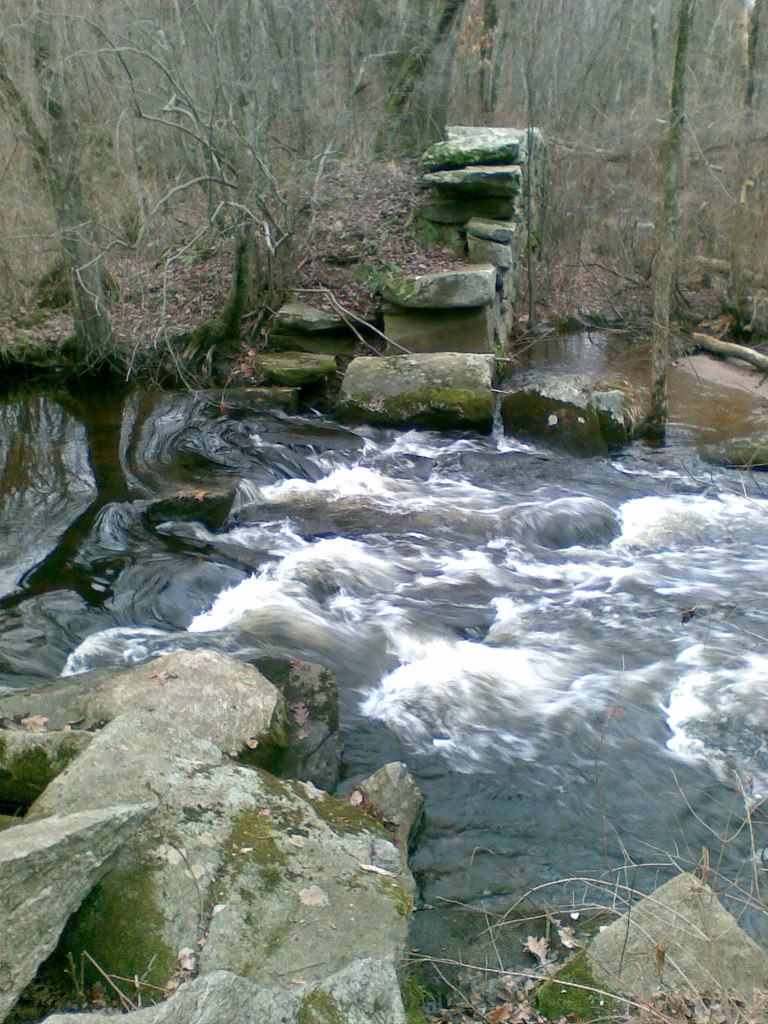 Photo: reivax, CC BY-SA 2.0 (via Flickr)
Orange Trail
~7 min drive
0.91-mile loop trail in Connecticut with 126 ft gain.
Photo: Magicpiano, CC BY-SA 4.0 (via Wikimedia Commons)Rose Trail
~8 min drive
1.28-mile point-to-point trail in Connecticut with 134 ft gain and 307 ft loss.
Photo: reivax, CC BY-SA 2.0 (via Flickr)White Trail
~8 min drive
0.11-mile point-to-point trail in Connecticut with 10 ft gain
Photo: reivax, CC BY-SA 2.0 (via Flickr)Yellow Trail
~8 min drive
0.58-mile point-to-point hike in Connecticut with 94 ft of elevation gain
HIKE
Boulder Crest Inner Loop
~2 min drive
0.40-mile loop with 28 ft elevation gain in Connecticut
Map and trail data © OpenStreetMap contributors

