John and Frederica Johnson Memorial Camp
Campground
Campground · 3.2 mi from the trail
Boulder Crest Inner Loop is a short, easy loop hike on city land in Connecticut, set within the Bouldercrest Lane Property. The route is about 0.4 miles long, with a total elevation gain of 46 feet, and it makes a quick addition to a day spent exploring the surrounding trails. The loop is flat overall, with the steepest stretch coming at about 0.05 miles in, where the grade reaches 4 percent. The high point is 612 feet, and the low point is 554 feet, so the climb is gentle and the route stays close to the same elevation. Summer and early fall are the most comfortable times to go. Typical averages from the nearby Storrs weather station show July highs around 80°F and September highs near 73°F, with lows in the 50s and 60s. The Boulder Crest Outer Loop lies just 0.1 miles away, and the Main Road Trail and Valley Falls Loop Trail are both within a mile. For time on the water, the Hockanum River is about 2.7 miles off.
John and Frederica Johnson Memorial Camp
Campground
Vernon Diner
Restaurant
 If it rainsSaraherib, CC BY-SA 3.0 · Wikimedia Commons
Lutz Children's Museum
Museum
Children's museum in Connecticut, United States
Places © OpenStreetMap contributors · Photos: Saraherib, CC BY-SA 3.0 (commons)
More in MiddletownBest months: April and June–October. Best months have typical highs of 55–85 °F, lows of 30 °F or warmer (32 °F where the station doesn't record snow), at most one snowy day and no more than 12 wet days.
Jan
35° / 19°
10 wet
Feb
37° / 20°
9 wet
Mar
45° / 28°
10 wet
Apr
57° / 38°
11 wet
May
68° / 48°
13 wet
Jun
76° / 57°
11 wet
Jul
80° / 63°
10 wet
Aug
79° / 61°
9 wet
Sep
73° / 54°
9 wet
Oct
61° / 43°
10 wet
Nov
50° / 34°
9 wet
Dec
40° / 25°
10 wet
Typical high / low (°F) and days with rain or snow, 1991–2020. Measured at Storrs, CT, 11.6 mi away at 665 ft. This station doesn't record snowfall. Source: NOAA NCEI U.S. Climate Normals 1991–2020.
 Photo: jjbers, CC BY 2.0 (via Flickr)
Risley Pond Loop Trail
~3 min drive
Easy 2.4-mile loop around Risley Pond in Connecticut.
HIKE
Hockanum River Linear Park
~6 min drive
A 19.37-mile riverside point-to-point trail following the Hockanum River.
Photo: jjbers, CC BY 2.0 (via Flickr)Yellow Trail
~3 min drive
Yellow Trail is a 0.76-mile loop in Connecticut with 248 ft gain.
Photo: jjbers, CC BY 2.0 (via Flickr)Kemph Trail
~4 min drive
0.34-mile point-to-point trail in Connecticut with 83 ft of elevation gain
 Photo: Magicpiano, CC BY-SA 4.0 (via Wikimedia Commons)
Clark Trail
~6 min drive
0.89-mile loop trail in Connecticut with 174 ft gain and 411 ft loss.
Photo: Magicpiano, CC BY-SA 4.0 (via Wikimedia Commons)Rose Trail
~6 min drive
1.28-mile point-to-point trail in Connecticut with 134 ft gain and 307 ft loss.
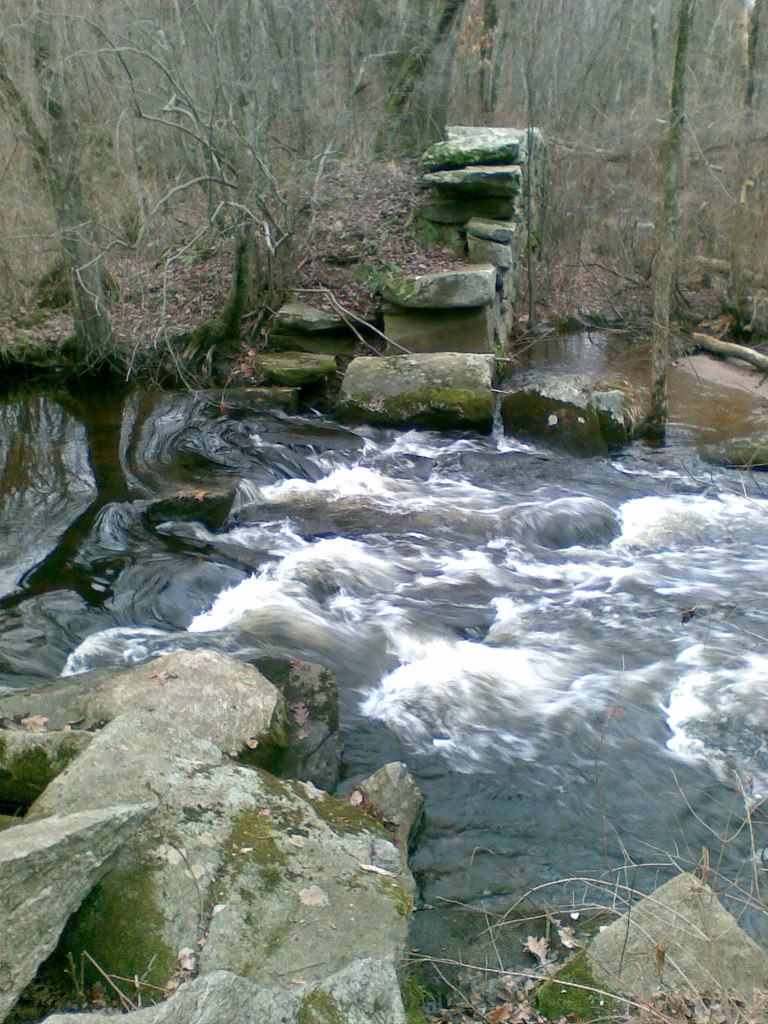 Photo: reivax, CC BY-SA 2.0 (via Flickr)
Orange Trail
~9 min drive
0.91-mile loop trail in Connecticut with 126 ft gain.
Photo: Magicpiano, CC BY-SA 4.0 (via Wikimedia Commons)Bobcat Woods Trail
~9 min drive
1.20-mile loop in Connecticut with 141 ft gain.
 Photo: Magicpiano, CC BY-SA 3.0 (via Wikimedia Commons)
Lombardi Ridge Trail
~9 min drive
Lombardi Ridge Trail is a 1.27-mile loop in Connecticut with 114 feet of elevation gain.
Photo: reivax, CC BY-SA 2.0 (via Flickr)White Trail
~10 min drive
0.11-mile point-to-point trail in Connecticut with 10 ft gain
Map and trail data © OpenStreetMap contributors

