Mountain · 1 route
Comanche Peak
13,273 ft · Colorado
- Summit
- 13,273 ft
- Routes
- 1 way up
- Managed by
- Forest Service
Route up Comanche Peak
About Comanche Peak
Comanche Peak is a summit of about 13,273 feet in Saguache County, Colorado, inside the Sangre de Cristo Wilderness. The peak lies within the Saguache Ranger District of the Rio Grande National Forest, which the Forest Service manages, and the nearest town is Crestone, about 5.5 miles away. The Sangre de Cristo Wilderness covers the surrounding area, and a summit route leads to the top. Phantom Terrace, a hike, sits just 0.3 miles away, and the Comanche and Comanche Spur mountain biking trails are within about a mile. For an overnight base, Alvarado Campground is about 3.8 miles off, and the Crestones climbing area is about 5.5 miles away.
Forecast on Comanche Peak
Daily highs and lows, wind and the chance of precipitation at the summit and venable trailhead for the next 7 days, from the Open-Meteo model.
Questions about Comanche Peak
How tall is Comanche Peak?
13,273 ft (4,046 m).
How many routes go to the summit of Comanche Peak?
One: Comanche Peak.
Where do the routes up Comanche Peak start?
Comanche Peak starts at Venable Trailhead.
Mountains nearby
- Venable Peak13,326 ft · Colorado1 route1.2 mi away
 Horn Peak13,448 ft · Colorado1 route1.6 mi awayPhoto: Xnatedawgx, CC BY-SA 3.0 (via Wikimedia Commons)
- Little Horn Peak13,149 ft · Colorado1 route2.1 mi away
 Mount Adams13,922 ft · Colorado1 route2.5 mi awayPhoto: Xpda, CC BY 3.0 (via Wikimedia Commons)
 Challenger Point14,079 ft · Colorado2 routes4.3 mi awayPhoto: Fredlyfish4, CC BY-SA 3.0 (via Wikimedia Commons)
- Kit Carson Mountain14,157 ft · Colorado1 route4.4 mi away
Facts about this place
Where it is
- Sangre de Cristo Wilderness · Wilderness
- Saguache Ranger District · Ranger district
- Rio Grande National Forest · National forest
- Nearest town
- Crestone, Colorado · 5.5 mi
- Managed by
- Forest Service
Source: Wilderness.net boundaries; USFS EDW boundaries; USGS PAD-US 4.1; USGS GNIS populated places
Conditions
Active alerts for Rio Grande National Forest as of Oct 9, 2026:
Conejos Canyon Roads and Camping Restrictions
information · posted Aug 24, 2026
Road Canyon Reservoir Day Use Area
information · posted Aug 24, 2026
information · posted Aug 24, 2026
information · posted Aug 24, 2026
information · posted Aug 24, 2026
Forest Road #950 N. Crestone Closure
information · posted Aug 24, 2026
Camping Restriction N. Crestone Trailhead
information · posted Aug 24, 2026
information · posted Aug 24, 2026
Weminuche Wilderness and South San Juan Wilderness Restrictions
information · posted Aug 24, 2026
La Garita Wilderness Use Restrictions
information · posted Aug 24, 2026
Source: USFS forest alerts
Nearby
- Phantom TerraceHiking0.3 mi
- ComancheMountain biking0.9 mi
- Comanche SpurMountain biking1 mi
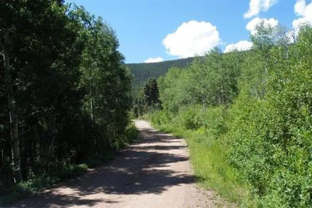 Alvarado CampgroundCampingPhoto: Recreation.gov (RIDB) / public domain3.8 mi
- Sangre de Cristo RangeRock climbing4.4 mi
- North Crestone Creek CampgroundCamping4.4 mi
- The CrestonesRock climbing5.5 mi
- Taylor CreekCanoeing9.2 mi
Source: Roamze catalog (indexable pages within 10 miles, PostGIS distance)
Is Comanche Peak open right now?
No closures listed
The Forest Service lists no closures for Rio Grande National Forest.
As of · Source: USFS · Rio Grande National Forest. Agencies don't list every closure — check before you go.
