Hay Press Camping Area
Campground
Campground · 1.6 mi from the trail
Closure in the area
There's a closure order in Grand Mesa, Uncompahgre and Gunnison National Forests. It doesn't name Piñon Mesa, so check the source for the area it covers (2 listed).
Gold Mountain Wildfire Roads and Trails Closure Order v 4.0
Agency closure covering Grand Mesa, Uncompahgre and Gunnison National Forests · USFS · Grand Mesa, Uncompahgre and Gunnison National Forests
Ophir Pass Road Closure
Agency closure covering Grand Mesa, Uncompahgre and Gunnison National Forests · USFS · Grand Mesa, Uncompahgre and Gunnison National Forests
Potter Basin Road Closure Order
Agency alert covering Grand Mesa, Uncompahgre and Gunnison National Forests · USFS · Grand Mesa, Uncompahgre and Gunnison National Forests
Beaver Park Road Closure Order
Agency alert covering Grand Mesa, Uncompahgre and Gunnison National Forests · USFS · Grand Mesa, Uncompahgre and Gunnison National Forests
TERMINATION OF ORDER - FIRE RESTRICTIONS
Agency alert covering Grand Mesa, Uncompahgre and Gunnison National Forests · USFS · Grand Mesa, Uncompahgre and Gunnison National Forests
As of · Source: USFS · Grand Mesa, Uncompahgre and Gunnison National Forests. Agencies don't list every closure — check before you go.
Piñon Mesa is a summit in Colorado's Grand Valley Ranger District, part of the Grand Mesa, Uncompahgre and Gunnison National Forests. The nearest town is Redlands, about 19 miles away, which makes it a reachable outing for visitors based in the Grand Valley. Several other destinations sit close to the mesa. The RIDGE hike is about half a mile away, and the Black Pine and Haypress hikes are each just over a mile off. Hay Press Camping Area, about 1.6 miles away, offers a nearby place to stay.
Hay Press Camping Area
Campground
 If it rainsJeffrey Beall, CC BY-SA 3.0 · Wikimedia Commons
Places © OpenStreetMap contributors, Places © Overture Maps Foundation · Photos: Jeffrey Beall, CC BY-SA 3.0 (commons)
More in CliftonDaily highs and lows, wind and the chance of precipitation at the summit and route start for the next 7 days, from the Open-Meteo model.
Elevation from USGS 3D Elevation Program terrain data (about 10 m resolution).
| Haypress | RIDGE | |
|---|---|---|
| Starts at | Little Dolores Trailhead | — |
| Climbing | About 513 ft | About 1,097 ft |
| Round trip | 3.0 mi | 8.2 mi |
| Difficulty | Moderate | Moderate |
| Terrain | Hike | Hike |
| Season | June 1 – October 31 | — |
9,691 ft (2,954 m).
2: Haypress and RIDGE.
Haypress, about 3.0 mi round trip.
Haypress starts at Little Dolores Trailhead (about 9,185 ft).
June 1 – October 31.
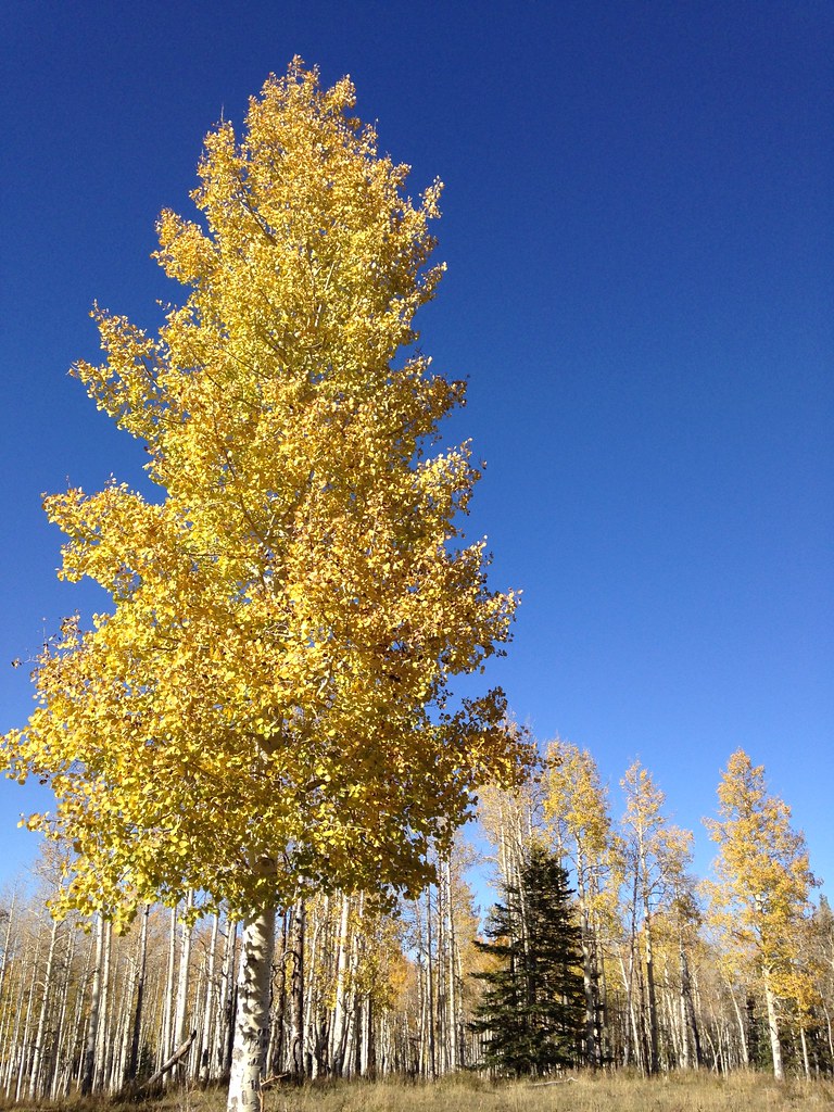 Black PineHikingPhoto: iagoarchangel, CC BY-SA 2.0 (via Flickr)1.1 mi
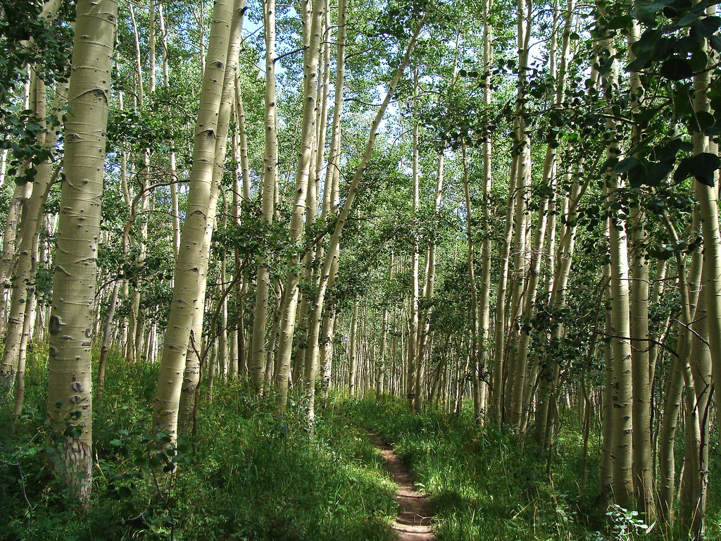 HaypressHikingPhoto: iagoarchangel, CC BY-SA 2.0 (via Flickr)1.2 miReservoir #1HikingPhoto: iagoarchangel, CC BY-SA 2.0 (via Flickr)2.1 mi
Source: Roamze catalog (indexable pages within 10 miles, PostGIS distance)
 Mount WaasSummit · ~54 min drivePhoto: Steven Baltakatei Sandoval, CC BY-SA 4.0 (via Wikimedia Commons)
 Round MountainSummit · ~59 min drivePhoto: Ron Clausen, CC BY-SA 4.0 (via Wikimedia Commons)
 Mount MellenthinSummit · ~1h drivePhoto: RichieB_pics, CC BY 2.5 (via Wikimedia Commons)
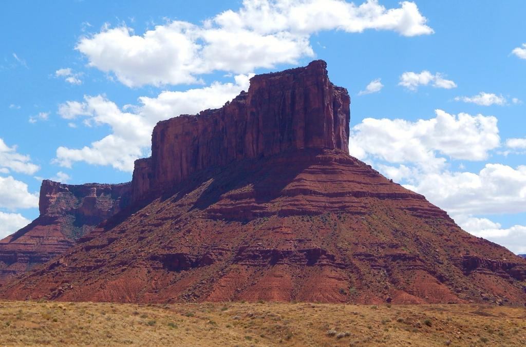 Parriott MesaSummit · ~1h drivePhoto: Ron Clausen, CC BY-SA 4.0 (via Wikimedia Commons)
 Mount PealeSummit · ~1h 2m drivePhoto: Suffusion of Yellow, CC BY-SA 3.0 (via Wikimedia Commons)
 Mount TukuhnikivatzSummit · ~1h 4m drivePhoto: Erik Wilde, CC BY-SA 2.0 (via Wikimedia Commons)
 South MountainSummit · ~1h 7m drivePhoto: RichieB_pics, CC BY 3.0 (via Wikimedia Commons)
 Elephant ButteSummit · ~1h 12m drivePhoto: Ron Clausen, CC BY-SA 4.0 (via Wikimedia Commons)
 Tower of BabelSummit · ~1h 19m drivePhoto: Alen Ištoković, CC BY 3.0 (via Wikimedia Commons)
 Three PenguinsSummit · ~1h 21m drivePhoto: Ken Lund from Reno, Nevada, USA, CC BY-SA 2.0 (via Wikimedia Commons)
Also worth it near here

