Molas Lake Campground
Campground
Campground · 2.9 mi from the trail
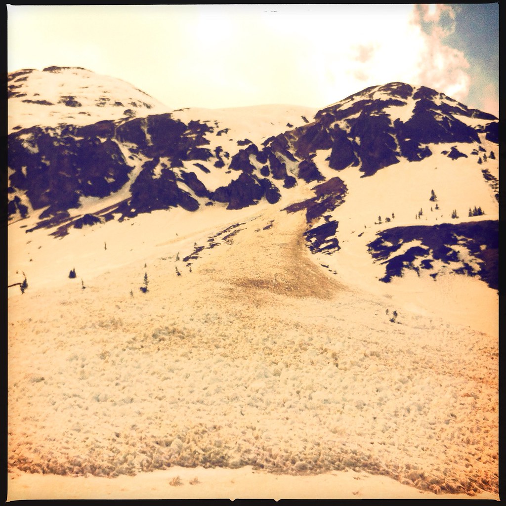
Cunningham Gulch Trail is an out-and-back hike on Bureau of Land Management land in Colorado's Gunnison Field Office, about 1.28 miles long and roughly 2.6 miles from start to finish. The route climbs from a low point of about 11,639 feet to a high of about 12,320 feet, with a total elevation gain of about 1,009 feet. The steepest part comes at about 0.6 miles into the trail, where the grade reaches about 51 percent. The trail is rated hard, and the climb is steep from the outset. Expect to spend about 1.5 hours on the round trip. The start sits at roughly 11,983 feet, and the trail drops back to that elevation on the way down. Whitehead lies about half a mile away, and Deadwood Gulch and The Stripe are climbing areas about 2.7 miles off. Molas Lake Campground is about 2.9 miles away.
Molas Lake Campground
Campground
The Bent Elbow Restaurant
American restaurant
Smuggler Union Tramhouse
Attraction
Places © OpenStreetMap contributors, Places © Overture Maps Foundation
More in TellurideNot on Roamze yet. Their page has how to reach them.
 Deadwood GulchRock climbingPhoto: markbyzewski, CC BY 2.0 (via Flickr)2.7 miThe StripeRock climbingPhoto: markbyzewski, CC BY 2.0 (via Flickr)2.7 mi
 Silverton Lakes CampgroundCampingPhoto: Rainer Halama, CC BY-SA 3.0 (via Wikimedia Commons)4 mi
 Animas RiverCanoeingPhoto: Clyde frogg, CC BY-SA 3.0 (via Wikimedia Commons)4.8 mi
Source: Roamze catalog (indexable pages within 10 miles, PostGIS distance)
 Molas Lake TrailHiking · ~5 min drivePhoto: Frans-Banja Mulder, CC BY 3.0 (via Wikimedia Commons)
 Molas Trail SystemHiking · ~5 min drivePhoto: daveynin, CC BY 2.0 (via Flickr)
 North Twilight PeakHiking · ~9 min drivePhoto: mjhbower, CC BY-SA 2.0 (via Flickr)
 Storm PeakHiking · ~13 min drivePhoto: denverkid, CC BY 2.0 (via Flickr)Andrews Lake Horse TrailHiking · ~9 min drivePhoto: mjhbower, CC BY-SA 2.0 (via Flickr)Snowdon PeakHiking · ~9 min drivePhoto: mjhbower, CC BY-SA 2.0 (via Flickr)
 Bonita PeakHiking · ~13 min drivePhoto: denverkid, CC BY 2.0 (via Flickr)Tower MountainHiking · ~13 min drivePhoto: denverkid, CC BY 2.0 (via Flickr)
 West Lime CreekHiking · ~12 min drivePhoto: Daniel Weber, Public Domain Dedication (CC0) (via Flickr)
 Deer CreekHiking · ~13 min drivePhoto: markbyzewski, CC BY 2.0 (via Flickr)
Also worth it near here
 Kendall PeakSummit · ~3 min drivePhoto: flamouroux, CC BY-SA 2.0 (via Wikimedia Commons)Deadwood GulchRock climbing · ~5 min drivePhoto: markbyzewski, CC BY 2.0 (via Flickr)Silverton Lakes CampgroundCamping · ~7 min drivePhoto: Rainer Halama, CC BY-SA 3.0 (via Wikimedia Commons)
Map and trail data © OpenStreetMap contributors
