Alta Lakes Campground (Dispersed)
Campground
Campground · 3.6 mi from the trail
Closure in the area
There's a closure order in Grand Mesa, Uncompahgre and Gunnison National Forests. It doesn't name Ballard Mountain, so check the source for the area it covers (2 listed).
Gold Mountain Wildfire Roads and Trails Closure Order v 4.0
Agency closure covering Grand Mesa, Uncompahgre and Gunnison National Forests · USFS · Grand Mesa, Uncompahgre and Gunnison National Forests
Ophir Pass Road Closure
Agency closure covering Grand Mesa, Uncompahgre and Gunnison National Forests · USFS · Grand Mesa, Uncompahgre and Gunnison National Forests
Potter Basin Road Closure Order
Agency alert covering Grand Mesa, Uncompahgre and Gunnison National Forests · USFS · Grand Mesa, Uncompahgre and Gunnison National Forests
Beaver Park Road Closure Order
Agency alert covering Grand Mesa, Uncompahgre and Gunnison National Forests · USFS · Grand Mesa, Uncompahgre and Gunnison National Forests
TERMINATION OF ORDER - FIRE RESTRICTIONS
Agency alert covering Grand Mesa, Uncompahgre and Gunnison National Forests · USFS · Grand Mesa, Uncompahgre and Gunnison National Forests
As of · Source: USFS · Grand Mesa, Uncompahgre and Gunnison National Forests. Agencies don't list every closure — check before you go.
Ballard Mountain is a summit in the Norwood Ranger District of the Grand Mesa, Uncompahgre and Gunnison National Forests in southwestern Colorado. It sits about 2.5 miles from Telluride, making it one of the closer high points to town. Within about a mile are the Silver Lake and Bridal Veil Trail #636 mountain biking routes and the Main Wall climbing area. Overnight visitors can find Alta Lakes Camping Area about 3.6 miles away.
Alta Lakes Campground (Dispersed)
Campground
Little Hawaii Grotto
Attraction
Places © OpenStreetMap contributors, Places © Overture Maps Foundation
More in TellurideDaily highs and lows, wind and the chance of precipitation at the summit and imogene pass road trailhead (westernmost) for the next 7 days, from the Open-Meteo model.
Elevation from USGS 3D Elevation Program terrain data (about 10 m resolution).
12,795 ft (3,900 m).
One: La Junta Peak.
La Junta Peak starts at Imogene Pass Road Trailhead (Westernmost).


 Main WallRock climbingPhoto: Lars Plougmann, CC BY-SA 2.0 (via Flickr)1 miStreaked WallRock climbingPhoto: Lars Plougmann, CC BY-SA 2.0 (via Flickr)1 mi
 Alta Lakes Camping AreaCampingPhoto: Jeffrey Beall, CC BY 4.0 (via Wikimedia Commons)3.6 mi
Source: Roamze catalog (indexable pages within 10 miles, PostGIS distance)
Wasatch MountainSummit · ~3 min drivePhoto: Debivort, CC BY-SA 3.0 (via Wikimedia Commons) Silver MountainSummit · ~6 min drivePhoto: David Goodman, CC BY 2.0 (via Wikimedia Commons)Chicago PeakSummit · ~6 min drivePhoto: Scott Ellis, CC BY-SA 2.0 (via Wikimedia Commons)
 Lookout PeakSummit · ~6 min drivePhoto: Larry Lamsa, CC BY 2.0 (via Wikimedia Commons)
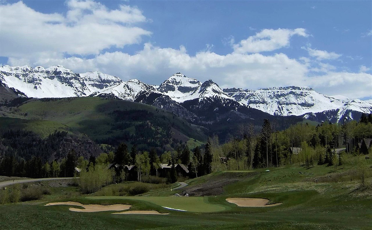 Mount EmmaSummit · ~7 min drivePhoto: Scott Brenner, CC BY 2.0 (via Wikimedia Commons)
 Stony MountainSummit · ~9 min drivePhoto: dana.m.wilson, CC BY 2.0 (via Wikimedia Commons)
 Gilpin PeakSummit · ~9 min drivePhoto: Greg Willis from Denver, CO, usa, CC BY-SA 2.0 (via Wikimedia Commons)
 Dallas PeakSummit · ~10 min drivePhoto: dana.m.wilson, CC BY 2.0 (via Wikimedia Commons)
 Ulysses S Grant PeakSummit · ~10 min drivePhoto: OakleyOriginals, CC BY 2.0 (via Wikimedia Commons)
 Teakettle MountainSummit · ~11 min drivePhoto: dana.m.wilson, CC BY 2.5 (via Wikimedia Commons)
Also worth it near here
Main WallRock climbing · ~2 min drivePhoto: Lars Plougmann, CC BY-SA 2.0 (via Flickr) Silver LakeHiking · ~2 min drivePhoto: Daniel Weber, Public Domain Dedication (CC0) (via Flickr)
 Bridal Veil FallsWaterfall · ~2 min drivePhoto: Terry Foote (talk), CC BY-SA 3.0 (via Wikimedia Commons)
 WasatchMountain biking · ~3 min drivePhoto: Miles Buddy, CC BY-SA 3.0 (via Wikimedia Commons)
