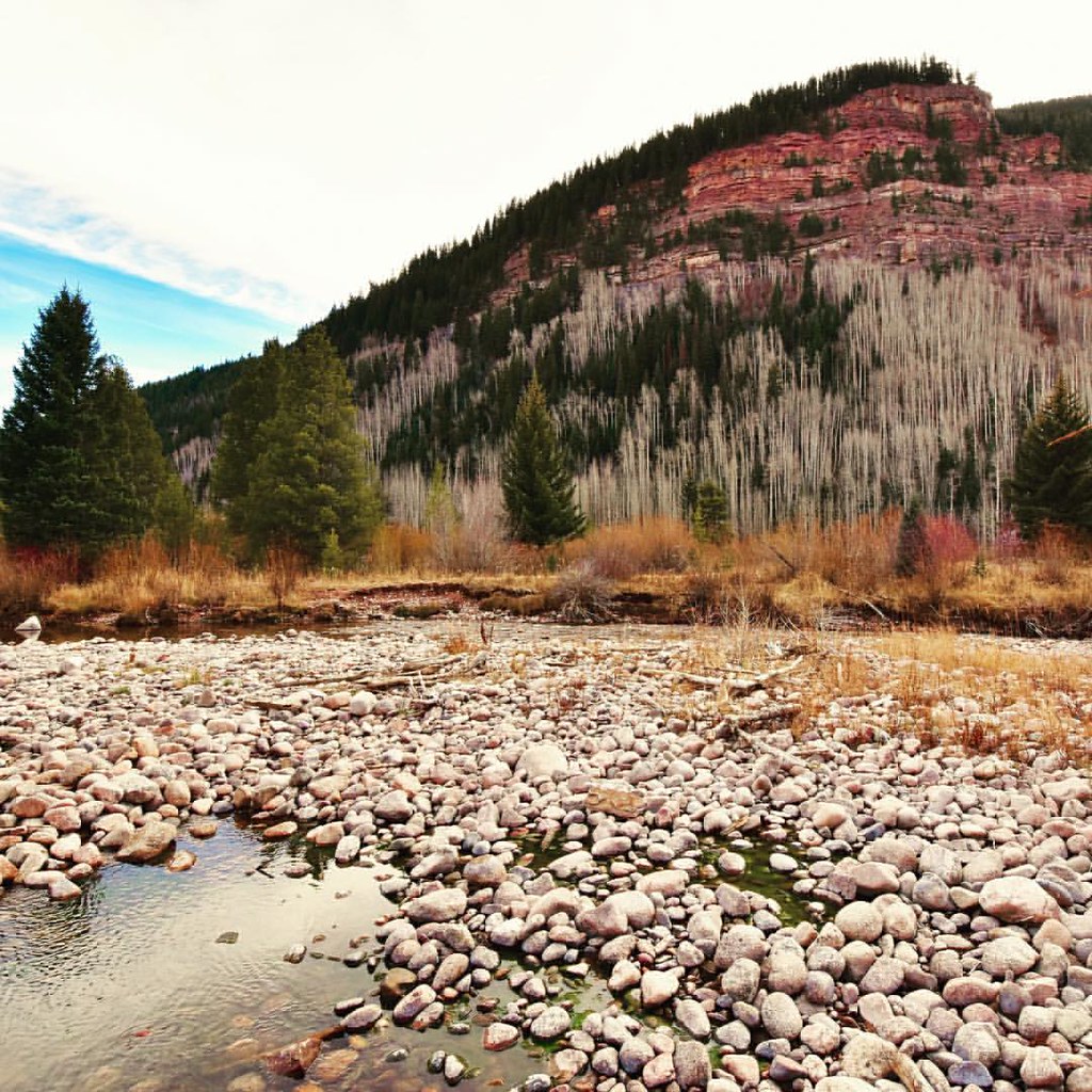
Vail - Frisco Rec Path
- 8.1 mi
- round trip
- 1,806 ft
- climb
- Out and back
- route
- Jun–Sep
- best months
Is Vail - Frisco Rec Path open right now?
Alert in the area
The Forest Service lists 6 alerts for White River National Forest.
FSR 286, Radical Hill, is closed due to washouts and unsafe conditions
Agency alert covering White River National Forest · USFS · White River National Forest
Limited parking at Snowmass Creek Trailhead
Agency alert covering White River National Forest · USFS · White River National Forest
Grizzly Creek Trail Closure
Agency alert covering White River National Forest · Order 2026-02 · USFS · White River National Forest
Ruedi Marina Day Use area Dump Station is CLOSED
Agency alert covering White River National Forest · USFS · White River National Forest
Asbestos safety closure - Camp Hale
Agency alert covering White River National Forest · USFS · White River National Forest
As of · Source: USFS · White River National Forest. Agencies don't list every closure — check before you go.
Vail - Frisco Rec Path is an 8.10-mile out-and-back trail in Colorado managed by the Forest Service. The route gains 1,806 feet of elevation.
Local outfitters
- Rancho Del Rio26 mi away
- Lostfork Basecamp34 mi away
Not on Roamze yet. Their page has how to reach them.
 Two ElkMountain biking · ~6 min drivePhoto: Kevin R Foote, CC BY-SA 3.0 (via Wikimedia Commons)
- Grand Traverse TrailMountain biking · ~8 min drivePhoto: Kevin R Foote, CC BY-SA 3.0 (via Wikimedia Commons)
 Gore Range TrailMountain biking · ~8 min drivePhoto: Nathan Anderson nathananderson, CC0 (via Wikimedia Commons)
 Cougar RidgeMountain biking · ~12 min drivePhoto: Jeffrey Beall, CC BY 4.0 (via Wikimedia Commons)
- Meadow CreekMountain biking · ~12 min drivePhoto: Nathan Anderson nathananderson, CC0 (via Wikimedia Commons)
- Buffalo MountainMountain biking · ~13 min drivePhoto: Nathan Anderson nathananderson, CC0 (via Wikimedia Commons)
- Game CreekMountain biking · ~13 min drivePhoto: Jeffrey Beall, CC BY 4.0 (via Wikimedia Commons)
 Boulder Creek TrailMountain biking · ~14 min drivePhoto: Don Graham from Redlands, CA, USA - God bless it!, CC BY-SA 2.0 (via Wikimedia Commons)
- Cougar RidgeMountain biking · ~14 min drivePhoto: Jeffrey Beall, CC BY 4.0 (via Wikimedia Commons)
- Mid-Vail EscapeMountain biking · ~8 min drivePhoto: Kevin R Foote, CC BY-SA 3.0 (via Wikimedia Commons)
Also worth it near here
Best time to visit Vail - Frisco Rec Path
Best months: June–September. Best months have typical highs of 55–85 °F, lows of 30 °F or warmer (32 °F where the station doesn't record snow), at most one snowy day and no more than 12 wet days.
Jan
29° / 7°
12 wet
Feb
33° / 9°
11 wet
Mar
42° / 17°
10 wet
Apr
49° / 24°
9 wet
May
60° / 31°
9 wet
Jun
71° / 36°
8 wet
Jul
77° / 42°
10 wet
Aug
74° / 41°
11 wet
Sep
67° / 34°
9 wet
Oct
54° / 25°
7 wet
Nov
38° / 15°
9 wet
Dec
28° / 7°
11 wet
Typical high / low (°F) and days with rain or snow, 1991–2020. Measured at Vail, CO, 4.3 mi away at 8,304 ft. We don't have this place's elevation, so higher spots nearby can run cooler. This station doesn't record snowfall. Source: NOAA NCEI U.S. Climate Normals 1991–2020.