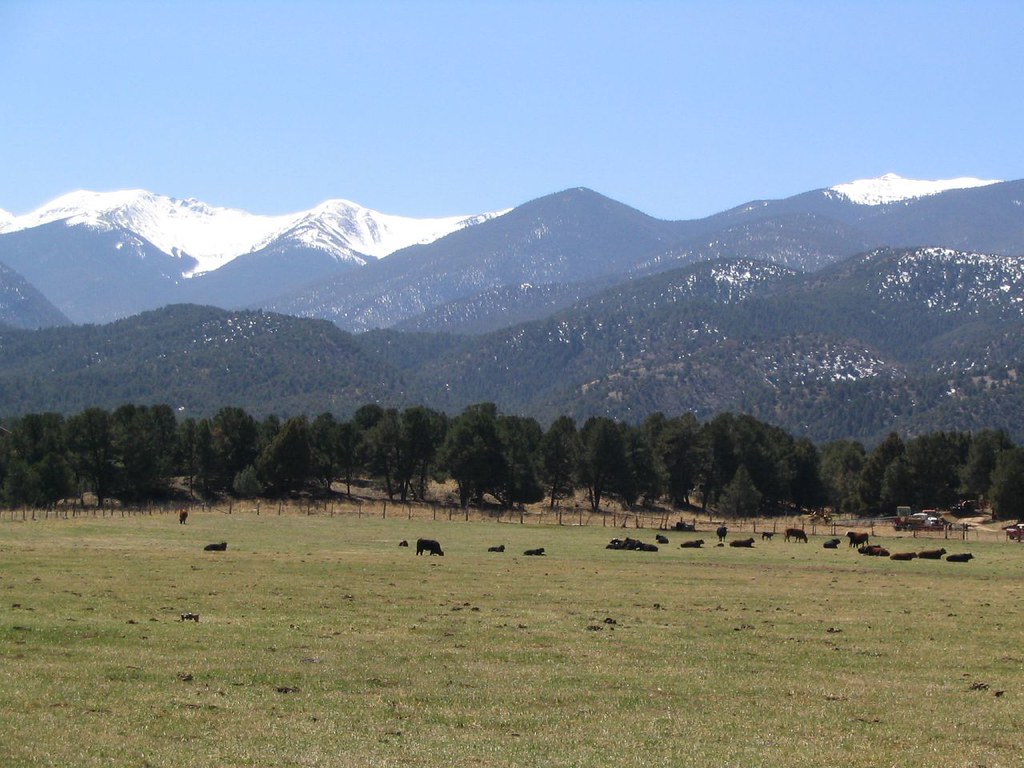
Bassam Cabin
Campground
Campground · 7.4 mi from the trail
Alert in the area
The Forest Service lists 7 alerts for Pike and San Isabel National Forests.
FSR 286, Radical Hill, is closed due to washouts and unsafe conditions
Agency alert covering Pike and San Isabel National Forests · USFS · Pike and San Isabel National Forests
Interlaken Hotel Tree Hazards
Agency alert covering Pike and San Isabel National Forests · USFS · Pike and San Isabel National Forests
Sharpe Fire Update
Agency alert covering Pike and San Isabel National Forests · USFS · Pike and San Isabel National Forests
Turquoise Lake Road (County Road 4) Closure
Agency alert covering Pike and San Isabel National Forests · USFS · Pike and San Isabel National Forests
Food Storage Prohibitions on Pike-San Isabel National Forests
Agency alert covering Pike and San Isabel National Forests · Order 02-12-00-23-07 · USFS · Pike and San Isabel National Forests
As of · Source: USFS · Pike and San Isabel National Forests. Agencies don't list every closure — check before you go.
The Ute Trail is a short mountain biking route in the Salida Ranger District of the Pike and San Isabel National Forests in Colorado, managed by the Forest Service. It lies about a mile from the Great Divide Mountain Bike Route, which passes within a tenth of a mile. The trail is a short, gentle ride of about a mile, with a total climb of 79 feet from a low point of about 9,180 feet to a high of about 9,250 feet. The steepest section comes at about 0.65 miles in, with a 5% grade. Because the route is only about a mile long, the climb and descent are close to equal. For comfortable weather, July and August stand out. Typical averages from a nearby weather station show July highs around 76°F and August highs around 73°F, with lows near 40°F. The Great Divide Mountain Bike Route is just 0.1 mile away. County Road 53 is about 2.3 miles off. For a hike, Beasway is about 6.7 miles away, and Bassam Guard Station, a campground, is about 7.6 miles away.
Bassam Cabin
Campground
Bunkhouse Art Gallery
Gallery
Places © OpenStreetMap contributors, Places © Overture Maps Foundation
More in GuffeyNot on Roamze yet. Their page has how to reach them.
Source: Roamze catalog (indexable pages within 10 miles, PostGIS distance)
Best months: June–August. Best months have typical highs of 55–85 °F, lows of 30 °F or warmer (32 °F where the station doesn't record snow), at most one snowy day and no more than 12 wet days.
Jan
32° / -4°
4 wet
Feb
34° / -1°
4 wet
Mar
42° / 10°
5 wet
Apr
49° / 19°
6 wet
May
59° / 27°
7 wet
Jun
70° / 34°
7 wet
Jul
76° / 41°
11 wet
Aug
73° / 39°
12 wet
Sep
67° / 30°
7 wet
Oct
55° / 19°
5 wet
Nov
42° / 9°
4 wet
Dec
32° / -2°
4 wet
Typical high / low (°F) and days with rain or snow, 1991–2020. Measured at Antero Rsvr, CO, 22.8 mi away at 8,939 ft. This station doesn't record snowfall. Source: NOAA NCEI U.S. Climate Normals 1991–2020.
Map and trail data © OpenStreetMap contributors