Beasway
- 2.7 mi
- distance
- 281 ft
- climb
- Intermediate
- difficulty
- Jun–Aug
- best months
Is Beasway open right now?
Alert in the area
The Forest Service lists 7 alerts for Pike and San Isabel National Forests.
FSR 286, Radical Hill, is closed due to washouts and unsafe conditions
Agency alert covering Pike and San Isabel National Forests · USFS · Pike and San Isabel National Forests
Interlaken Hotel Tree Hazards
Agency alert covering Pike and San Isabel National Forests · USFS · Pike and San Isabel National Forests
Sharpe Fire Update
Agency alert covering Pike and San Isabel National Forests · USFS · Pike and San Isabel National Forests
Turquoise Lake Road (County Road 4) Closure
Agency alert covering Pike and San Isabel National Forests · USFS · Pike and San Isabel National Forests
Food Storage Prohibitions on Pike-San Isabel National Forests
Agency alert covering Pike and San Isabel National Forests · Order 02-12-00-23-07 · USFS · Pike and San Isabel National Forests
As of · Source: USFS · Pike and San Isabel National Forests. Agencies don't list every closure — check before you go.
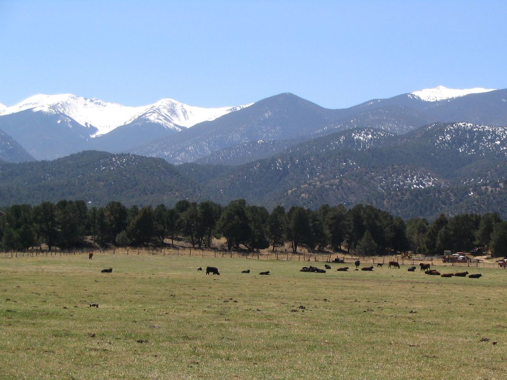
Beasway is a mountain biking route in the Salida Ranger District of the Pike and San Isabel National Forests in Colorado, managed by the Forest Service. The trail is a short ride of about 2.7 miles with a total elevation gain of 281 feet, taking riders from a starting point near 8,806 feet to a high point of 8,927 feet. The climb is steepest at about 0.3 miles, with a grade of 14%. For comfortable weather, aim for July or August, when typical averages from a nearby weather station run around 76°F and 73°F, with lows in the low 40s. That station sits at nearly the same elevation as the trail, so temperatures here should run similarly. Winters are cold, with January highs around freezing and lows well below zero. Hikers can pair a ride with the Rhumba trail, about half a mile away, or the Cottonwood and Crater Trail hikes, within a few miles. For an overnight stay, Four Seasons RV Park and Salida East campground are both about 5.7 miles off.
Local outfitters
- Four Seasons RV Park6 mi away
- Monarch Spur RV Park16 mi away
Not on Roamze yet. Their page has how to reach them.
- RhumbaHiking0.5 mi
- CottonwoodHiking1.3 mi
- Crater TrailHiking2 mi
 Four Seasons RV ParkCampingPhoto: Ken Lund from Reno, Nevada, USA, CC BY-SA 2.0 (via Wikimedia Commons)5.7 mi
- Salida EastCampingPhoto: Ken Lund from Reno, Nevada, USA, CC BY-SA 2.0 (via Wikimedia Commons)5.7 mi
- Riverside RV ParkCamping6.4 mi
- SouthRock climbing6.8 mi
- Hecla Junction NorthRock climbing7.5 mi
Source: Roamze catalog (indexable pages within 10 miles, PostGIS distance)
- RhumbaMountain biking · ~1 min drive
- Salida Bike ParkMountain biking · ~8 min drive
- North BackboneMountain biking · ~5 min drive
- El DuderinoMountain biking · ~5 min drive
- Dude AbidesMountain biking · ~5 min drive
- Pauli TrailMountain biking · ~6 min drive
- Unkle Nazty TrailMountain biking · ~6 min drive
- Hooligan TrailMountain biking · ~6 min drive
- Upper Sand Dunes TrailMountain biking · ~6 min drive
- Upper Sand Dunes TrailMountain biking · ~6 min drive
Best time to visit Beasway
Best months: June–August. Best months have typical highs of 55–85 °F, lows of 30 °F or warmer (32 °F where the station doesn't record snow), at most one snowy day and no more than 12 wet days.
Jan
32° / -4°
4 wet
Feb
34° / -1°
4 wet
Mar
42° / 10°
5 wet
Apr
49° / 19°
6 wet
May
59° / 27°
7 wet
Jun
70° / 34°
7 wet
Jul
76° / 41°
11 wet
Aug
73° / 39°
12 wet
Sep
67° / 30°
7 wet
Oct
55° / 19°
5 wet
Nov
42° / 9°
4 wet
Dec
32° / -2°
4 wet
Typical high / low (°F) and days with rain or snow, 1991–2020. Measured at Antero Rsvr, CO, 27.9 mi away at 8,939 ft. This station doesn't record snowfall. Source: NOAA NCEI U.S. Climate Normals 1991–2020.
Map and trail data © OpenStreetMap contributors
