Town of Carbondale Campground
Campground
Campground · 0.2 mi from the trail
Clear at last check
Weather is good · OpenWeather · checked 16 h ago
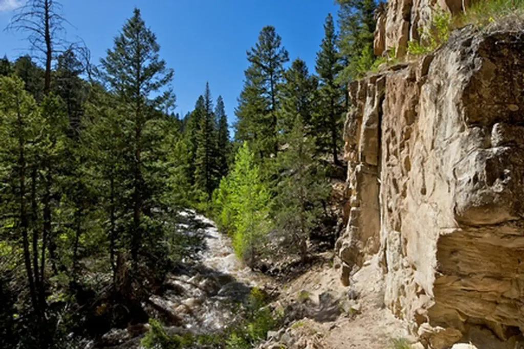
Mushroom Rock is a short, low-elevation ride on Bureau of Land Management land in Colorado's Colorado River Valley Field Office, about half a mile from the trailhead. The climb from the start at 6,414 feet reaches 7,012 feet, a gain of 371 feet, and the route ends with a drop of nearly 500 feet. Summer and early fall are the most comfortable times to go. Typical averages from a nearby weather station show July highs around 89°F with lows near 53°F, and September highs around 78°F with lows near 44°F. That station sits about 1,100 feet lower, so temperatures up here run cooler. Lower Blue Ribbon is just 0.1 mile away, and the B-Line and Skeeter's Ridge Trail are both about 0.2 mile off. For camping, Town of Carbondale Campground is also about 0.2 mile away.
Town of Carbondale Campground
Campground
Red Rock Diner
Restaurant
Thermal springs in Colorado
Places © OpenStreetMap contributors
More in Glenwood SpringsNot on Roamze yet. Their page has how to reach them.
 Skeeter's Ridge TrailHikingPhoto: Thad Roan from Littleton, CO, USA, CC BY-SA 2.0 (via Wikimedia Commons)0.2 mi
 Carbondale / Crystal River KOACampingPhoto: EcoFlight, CC BY 3.0 (via Wikimedia Commons)6.9 mi
 Thompson Creek CampgroundCampingPhoto: Recreation.gov (RIDB) / public domain7.3 mi
Source: Roamze catalog (indexable pages within 10 miles, PostGIS distance)
Also worth it near here
Best months: April–June and September–October. Best months have typical highs of 55–85 °F, lows of 30 °F or warmer (32 °F where the station doesn't record snow), at most one snowy day and no more than 12 wet days.
Jan
36° / 12°
8 wet · 6 snow
Feb
42° / 19°
6 wet · 4 snow
Mar
53° / 26°
6 wet · 2 snow
Apr
60° / 32°
7 wet · 1 snow
May
71° / 40°
7 wet
Jun
82° / 46°
5 wet
Jul
89° / 53°
5 wet
Aug
86° / 52°
6 wet
Sep
78° / 44°
6 wet
Oct
65° / 33°
6 wet
Nov
49° / 24°
6 wet · 2 snow
Dec
36° / 15°
7 wet · 4 snow
Typical high / low (°F) and days with rain or snow, 1991–2020. Measured at Glenwood Spgs #2, CO, 8.4 mi away at 5,895 ft. The station sits about 1,100 ft lower than this place, so expect it a little cooler here. Source: NOAA NCEI U.S. Climate Normals 1991–2020.
Map and trail data © OpenStreetMap contributors
