Town of Carbondale Campground
Campground
Campground · 0.3 mi from the trail
Clear at last check
Weather is good · OpenWeather · checked 21 h ago
C-Line is a short, low-lying stretch of mountain biking in Colorado, just 0.1 mile long and rising only about 27 feet from its low point at 6,232 feet to a high of 6,284 feet. It sits about half a mile from the community of Satank, making it an easy addition to a ride in the area. The route is nearly flat, with a slight climb and a small loss, so it works well as a warm-up or a place to park and stretch before heading onto the other trails nearby. The closest options are Lower Three Gulch, the B-Line and the Three Gulch Trail, all within about a tenth of a mile. For comfortable riding weather, late spring and early fall stand out. Typical averages from a nearby weather station show May highs around 71°F and September highs around 78°F, while July climbs to about 89°F and winter brings frequent snow days. Town of Carbondale Campground is about 0.3 mile away. Aspen-Sopris Ranger District, about 1.3 miles off, offers lake fishing, and Carbondale / Crystal River KOA, roughly 7 miles away, has more camping.
Town of Carbondale Campground
Campground
Red Rock Diner
Restaurant
Thermal springs in Colorado
Places © OpenStreetMap contributors
More in Glenwood SpringsNot on Roamze yet. Their page has how to reach them.
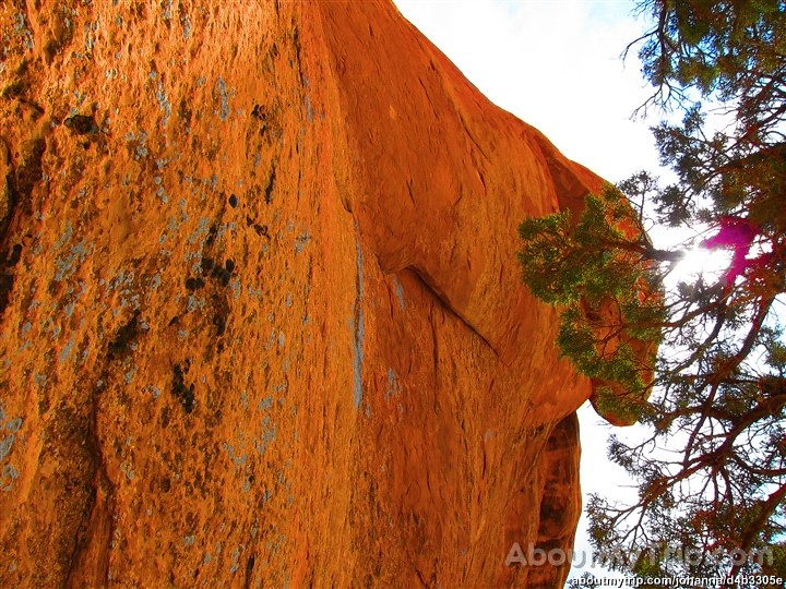 Three Gulch TrailHikingPhoto: aboutmytripdotcom, CC BY 2.0 (via Flickr)0.1 mi
 Carbondale / Crystal River KOACampingPhoto: EcoFlight, CC BY 3.0 (via Wikimedia Commons)6.8 mi
Source: Roamze catalog (indexable pages within 10 miles, PostGIS distance)
Also worth it near here
Best months: April–June and September–October. Best months have typical highs of 55–85 °F, lows of 30 °F or warmer (32 °F where the station doesn't record snow), at most one snowy day and no more than 12 wet days.
Jan
36° / 12°
8 wet · 6 snow
Feb
42° / 19°
6 wet · 4 snow
Mar
53° / 26°
6 wet · 2 snow
Apr
60° / 32°
7 wet · 1 snow
May
71° / 40°
7 wet
Jun
82° / 46°
5 wet
Jul
89° / 53°
5 wet
Aug
86° / 52°
6 wet
Sep
78° / 44°
6 wet
Oct
65° / 33°
6 wet
Nov
49° / 24°
6 wet · 2 snow
Dec
36° / 15°
7 wet · 4 snow
Typical high / low (°F) and days with rain or snow, 1991–2020. Measured at Glenwood Spgs #2, CO, 8.6 mi away at 5,895 ft. Source: NOAA NCEI U.S. Climate Normals 1991–2020.
Map and trail data © OpenStreetMap contributors
