Diamond Lake Campground
Campground
Campground · 3.2 mi from the trail
Alert in the area
The Forest Service lists 3 alerts for Arapaho and Roosevelt National Forests.
Fire Restrictions
Agency alert covering Arapaho and Roosevelt National Forests · USFS · Arapaho and Roosevelt National Forests
Fire Restrictions
Agency alert covering Sulphur Ranger District · USFS · Sulphur Ranger District
Permanent Recreational Shooting Order
Agency alert covering Sulphur Ranger District · Order 02-10-00-25-02 · USFS · Sulphur Ranger District
As of · Source: USFS · Arapaho and Roosevelt National Forests. Agencies don't list every closure — check before you go.
High Lonesome is a mountain biking route in Colorado's Indian Peaks Wilderness, on the Sulphur Ranger District of the Arapaho and Roosevelt National Forests. It is a ride of about 5 miles, with a total climb of roughly 2,450 feet from a low point around 9,875 feet to a high of about 12,100 feet. The steepest section comes at about 4.6 miles into the ride, where the grade reaches 30 percent. The trail lies within designated wilderness, so riders should plan for backcountry conditions. The Forest Service manages the land, and the route is part of the mapped network of the surrounding national forest. For more riding, Bob and Betty is about 1.5 miles away and Devils Thumb is about 2.3 miles away. Climbers can head to New Don Wall (Upper Hurd Basin) at about 4.3 miles, and Idlewild Campground is about 6 miles away for an overnight base.
Diamond Lake Campground
Campground
 If it rainsMatt Golon, CC BY-SA 3.0 · Wikimedia Commons
Places © OpenStreetMap contributors · Photos: Matt Golon, CC BY-SA 3.0 (commons)
More in Idaho SpringsNot on Roamze yet. Their page has how to reach them.
 Fraser RiverCanoeingPhoto: Jeffrey Beall, CC BY 4.0 (via Wikimedia Commons)6.1 mi
Source: Roamze catalog (indexable pages within 10 miles, PostGIS distance)
 Diamond LakeMountain biking · ~6 min drivePhoto: Greg Willis, CC BY-SA 3.0 (via Wikimedia Commons)
 Arapaho LakesMountain biking · ~7 min drivePhoto: Jacob Montgomery, CC BY-SA 3.0 (via Wikimedia Commons)
Also worth it near here
 Mount JasperSummit · ~4 min drivePhoto: Jacob Torrey, CC BY 2.5 (via Wikimedia Commons)
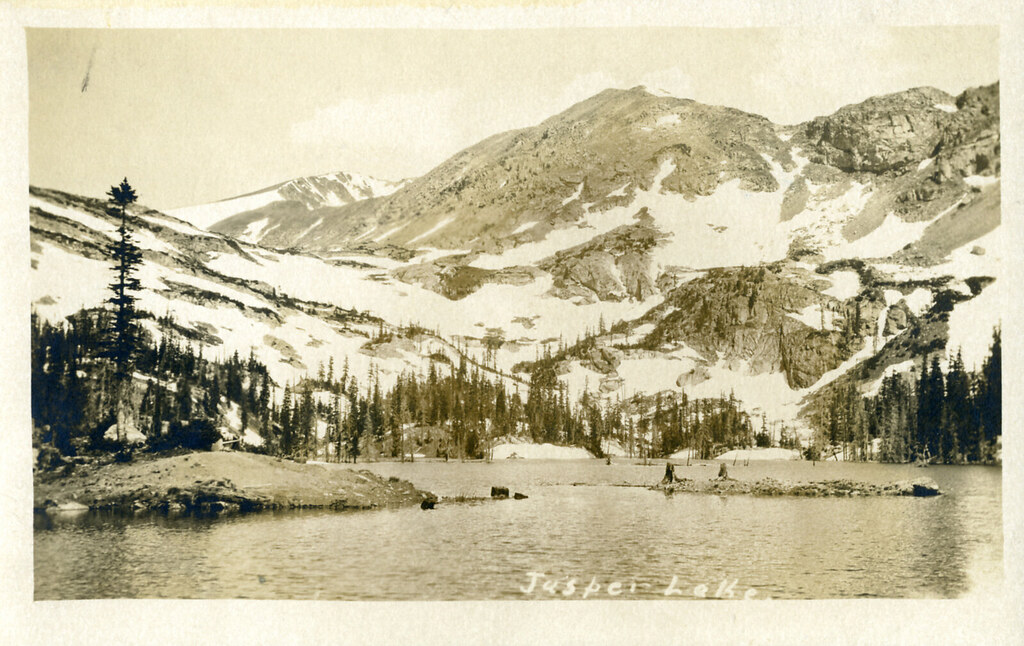 Diamond Lake TrailHiking · ~5 min drivePhoto: waterarchives, CC BY-SA 2.0 (via Flickr)
 WaxwingCross-country skiing · ~6 min drivePhoto: Chris Light, CC BY-SA 4.0 (via Wikimedia Commons)
Map and trail data © OpenStreetMap contributors
