Cucuy de los Cielos (CDC)
- 1.1 mi
- distance
- 293 ft
- climb
- Intermediate
- difficulty
- May–Jun, Aug–Sep
- best months
Cucuy de los Cielos (CDC) is a short mountain biking route in Colorado, about 6.6 miles from the town of Rifle. The climb is a little over a mile long, rising from about 6,169 feet to about 6,412 feet, a total gain of 293 feet. The steepest stretch comes early, at about 0.27 miles in, where the grade reaches 41 percent. The most comfortable months for a ride are typically May and September. A nearby weather station in Rifle records typical average highs of about 72°F in May and 79°F in September, with July averaging around 88°F. That station sits roughly 940 feet lower than the route's high point, so temperatures on the climb run cooler. The CL Smooth and Rewind Ridge trails both start about 0.1 mile away. The Rifle Arch climbing area is about half a mile off, and Sage Campground is about 3.7 miles away.
Local outfitters
- Hanging Lake Adventure Co-op27 mi away
- Palisade Basecamp45 mi away
Not on Roamze yet. Their page has how to reach them.
- CL SmoothMountain biking0.1 mi
- Rewind RidgeMountain biking0.1 mi
- Rifle ArchRock climbing0.5 mi
- Slab RoutesRock climbing0.6 mi
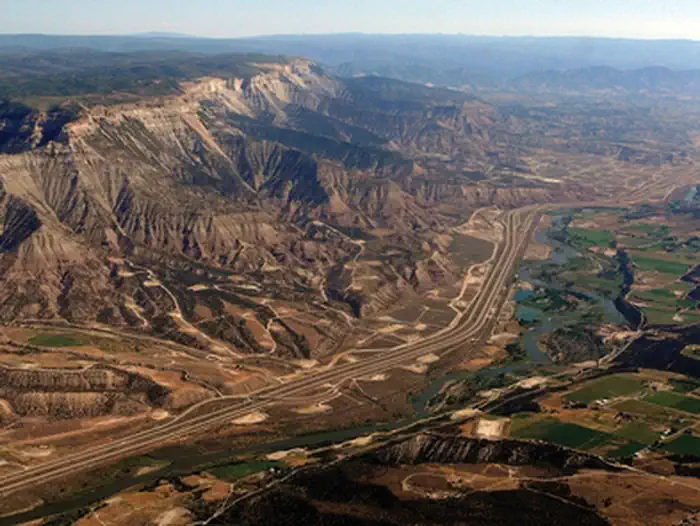 Roan Plateau - JQS Creek CrossRiver fishing3.5 mi
 Sage CampgroundCampingPhoto: Jeffrey Beall, CC BY 4.0 (via Wikimedia Commons)3.7 mi
- Cedar CampgroundCampingPhoto: Jeffrey Beall, CC BY 4.0 (via Wikimedia Commons)3.8 mi
 Rifle CreekCanoeingPhoto: Jeffrey Beall, CC BY 4.0 (via Wikimedia Commons)4.5 mi
Source: Roamze catalog (indexable pages within 10 miles, PostGIS distance)
 Crimson RideMountain biking · ~26 min drivePhoto: Loco Steve, CC BY 3.0 (via Wikimedia Commons)
- MaverickMountain biking · ~26 min drivePhoto: Loco Steve, CC BY 3.0 (via Wikimedia Commons)
- CL SmoothMountain biking · Next door
- Rewind RidgeMountain biking · Next door
- upper wall streetMountain biking · Next door
- Notorious B-S.I.D.E TrailMountain biking · Next door
- middle wall streetMountain biking · Next door
- upper wall street (turtle traverse)Mountain biking · Next door
- Double-track UpMountain biking · Next door
- wall streetMountain biking · Next door
Best time to visit Cucuy de los Cielos (CDC)
Best months: May–June and August–September. Best months have typical highs of 55–85 °F, lows of 30 °F or warmer (32 °F where the station doesn't record snow), at most one snowy day and no more than 12 wet days.
Jan
37° / 10°
8 wet
Feb
42° / 15°
7 wet
Mar
55° / 22°
7 wet
Apr
62° / 28°
9 wet
May
72° / 37°
9 wet
Jun
83° / 45°
6 wet
Jul
88° / 52°
9 wet
Aug
85° / 49°
9 wet
Sep
79° / 41°
8 wet
Oct
64° / 30°
8 wet
Nov
49° / 20°
7 wet
Dec
37° / 11°
8 wet
Typical high / low (°F) and days with rain or snow, 1991–2020. Measured at Rifle 3ene, CO, 7 mi away at 5,469 ft. The station sits about 900 ft lower than this place, so expect it a little cooler here. This station doesn't record snowfall. Source: NOAA NCEI U.S. Climate Normals 1991–2020.
Map and trail data © OpenStreetMap contributors
