Bailey
- 1.0 mi
- distance
- 289 ft
- climb
- Intermediate
- difficulty
- Jun–Sep
- best months
Bailey is a mountain biking route on Bureau of Land Management land in Colorado's Colorado River Valley Field Office, about a mile from the high point of 7,211 feet. The route rises from roughly 6,940 feet to that summit, with a total climb of 289 feet and a steepest stretch of about 16% grade around the halfway mark. Summer is the most comfortable time to ride. Typical averages from a nearby weather station at Meredith put July highs around 81°F and lows near 40°F. That station sits about 600 feet lower than the route's high point, so temperatures up here run cooler. 3rd Gulch is the closest riding, about 0.4 miles away, and 2nd Gulch is about 1.2 miles off. Brush Creek offers canoeing about 0.9 miles away, and Wolcott Campground is about 8.7 miles away for an overnight stay.
Local outfitters
- Rancho Del Rio22 mi away
- Hanging Lake Adventure Co-op29 mi away
Not on Roamze yet. Their page has how to reach them.
- 3rd gulchMountain biking0.4 mi
- Brush CreekCanoeing0.9 mi
- 2nd GulchMountain biking1.2 mi
- Gypsum CreekCanoeing7.5 mi
- Wolcott Crags and BouldersRock climbing8.3 mi
- Milk Creek (aka Wolcott Entrada Band - East)Rock climbing8.4 mi
- Wolcott CampgroundCamping8.7 mi
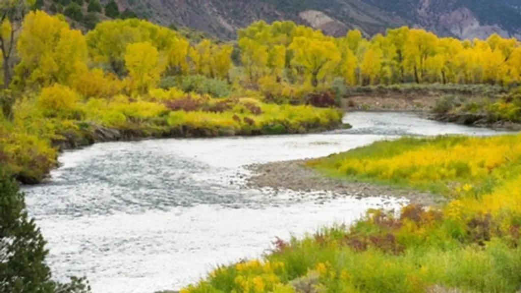 Gypsum CampgroundCampingPhoto: Recreation.gov (RIDB) / public domain9.9 mi
Source: Roamze catalog (indexable pages within 10 miles, PostGIS distance)
 HaymakerMountain biking · ~3 min drivePhoto: Ej Lowell, CC BY-SA 3.0 (via Wikimedia Commons)
- Charlie BrownMountain biking · ~5 min drivePhoto: Ej Lowell, CC BY-SA 3.0 (via Wikimedia Commons)
- Easy RiderMountain biking · ~8 min drivePhoto: Ej Lowell, CC BY-SA 3.0 (via Wikimedia Commons)
- 3rd gulchMountain biking · Next door
- 2nd GulchMountain biking · ~2 min drive
- Abrams RidgeMountain biking · ~3 min drive
- 3rd GulchMountain biking · ~3 min drive
- Pool & Ice RinkMountain biking · ~4 min drive
- BLM 8384hMountain biking · ~4 min drive
- ElmersMountain biking · ~5 min drive
Best time to visit Bailey
Best months: June–September. Best months have typical highs of 55–85 °F, lows of 30 °F or warmer (32 °F where the station doesn't record snow), at most one snowy day and no more than 12 wet days.
Jan
34° / 4°
Feb
36° / 6°
Mar
43° / 13°
Apr
51° / 21°
May
63° / 28°
Jun
75° / 34°
Jul
81° / 40°
Aug
80° / 39°
Sep
71° / 32°
Oct
61° / 23°
Nov
45° / 13°
Dec
34° / 5°
Typical high / low (°F) and days with rain or snow, 1991–2020. Measured at Meredith, CO, 17.7 mi away at 7,825 ft. The station sits about 600 ft higher than this place, so expect it a little warmer here. This station doesn't record snowfall. Source: NOAA NCEI U.S. Climate Normals 1991–2020.

Map and trail data © OpenStreetMap contributors
