Ridge 70
- 1.6 mi
- distance
- 1,319 ft
- climb
Is Ridge 70 open right now?
Closure in the area
There's a closure order in Grand Mesa, Uncompahgre and Gunnison National Forests. It doesn't name Ridge 70, so check the source for the area it covers (2 listed).
Gold Mountain Wildfire Roads and Trails Closure Order v 4.0
Agency closure covering Grand Mesa, Uncompahgre and Gunnison National Forests · USFS · Grand Mesa, Uncompahgre and Gunnison National Forests
Ophir Pass Road Closure
Agency closure covering Grand Mesa, Uncompahgre and Gunnison National Forests · USFS · Grand Mesa, Uncompahgre and Gunnison National Forests
Potter Basin Road Closure Order
Agency alert covering Grand Mesa, Uncompahgre and Gunnison National Forests · USFS · Grand Mesa, Uncompahgre and Gunnison National Forests
Beaver Park Road Closure Order
Agency alert covering Grand Mesa, Uncompahgre and Gunnison National Forests · USFS · Grand Mesa, Uncompahgre and Gunnison National Forests
TERMINATION OF ORDER - FIRE RESTRICTIONS
Agency alert covering Grand Mesa, Uncompahgre and Gunnison National Forests · USFS · Grand Mesa, Uncompahgre and Gunnison National Forests
As of · Source: USFS · Grand Mesa, Uncompahgre and Gunnison National Forests. Agencies don't list every closure — check before you go.
Ridge 70 is a mountain biking route in Colorado's Gunnison Ranger District, part of the Grand Mesa, Uncompahgre and Gunnison National Forests. The Forest Service manages the land, and the route rises from about 10,693 feet to about 12,024 feet over roughly 1.6 miles, with a total elevation gain of 1,319 feet. The climb is steepest near the 1.2-mile mark, where the grade reaches about 25%. The route is short and compact, making it a natural addition to a day spent exploring the surrounding area. The Scarp hike starts just 0.3 miles away, and the Irwin Lake Spur mountain biking trail is about 0.8 miles off. Lake Irwin campground sits about a mile away, and Kebler Pass Camping Area is about 2.8 miles away, so there is plenty of room to extend a trip.
Local outfitters
- Hanging Lake Adventure Co-op47 mi away
Not on Roamze yet. Their page has how to reach them.
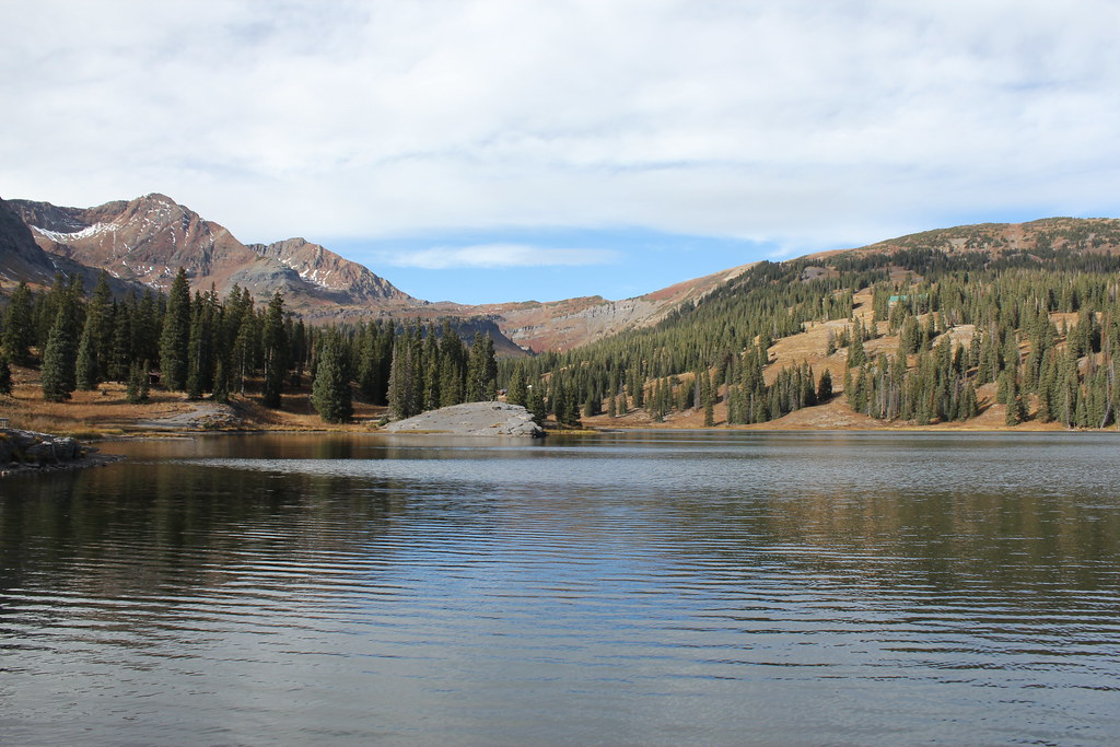 ScarpHikingPhoto: Jeffrey Beall, CC BY-SA 2.0 (via Flickr)0.3 mi
 Irwin Lake SpurMountain bikingPhoto: Sheila Sund from Salem, United States, CC BY 2.0 (via Wikimedia Commons)0.8 mi
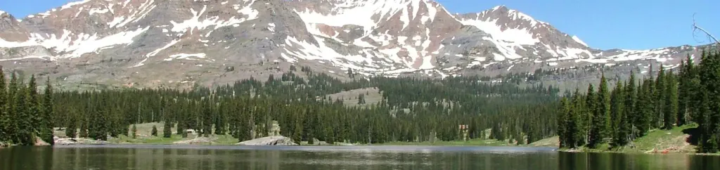 Lake IrwinCampingPhoto: Recreation.gov (RIDB) / public domain1 mi
- Kebler Pass Camping AreaCamping2.8 mi
- Ruby Anthracite CreekCanoeing3.7 mi
 Slate RiverCanoeingPhoto: Jeffrey Beall, CC BY 3.0 (via Wikimedia Commons)5.7 mi
- Crested ButteRock climbing7.6 mi
- Skyland BouldersRock climbing7.6 mi
Source: Roamze catalog (indexable pages within 10 miles, PostGIS distance)
- Irwin Lake SpurMountain biking · ~1 min drivePhoto: Sheila Sund from Salem, United States, CC BY 2.0 (via Wikimedia Commons)
- Daisy Pass Blue LakeMountain biking · ~3 min drivePhoto: Sheila Sund from Salem, United States, CC BY 2.0 (via Wikimedia Commons)
- Gunsight PassMountain biking · ~4 min drivePhoto: Sheila Sund from Salem, United States, CC BY 2.0 (via Wikimedia Commons)
 Kebler Wagon TrailMountain biking · ~4 min drivePhoto: John Sowell, CC BY-SA 4.0 (via Wikimedia Commons)
- Kebler Wagon Trail 606Mountain biking · ~4 min drivePhoto: John Sowell, CC BY-SA 4.0 (via Wikimedia Commons)
- Kebler Wagon Trail SpurMountain biking · ~5 min drivePhoto: John Sowell, CC BY-SA 4.0 (via Wikimedia Commons)
 Silver BasinMountain biking · ~6 min drivePhoto: John Sowell, CC BY-SA 4.0 (via Wikimedia Commons)
 Railroad SkiMountain biking · ~11 min drivePhoto: Mshuang2, CC0 (via Wikimedia Commons)
 Swampy PassMountain biking · ~12 min drivePhoto: John Sowell, CC BY-SA 4.0 (via Wikimedia Commons)
- Ohio Pass SnowmobileMountain biking · ~10 min drivePhoto: Mshuang2, CC0 (via Wikimedia Commons)

Map and trail data © OpenStreetMap contributors
