Crank n' Hammer Trail
- 2.6 mi
- distance
- 131 ft
- climb
- Intermediate
- difficulty
- May–Sep
- best months
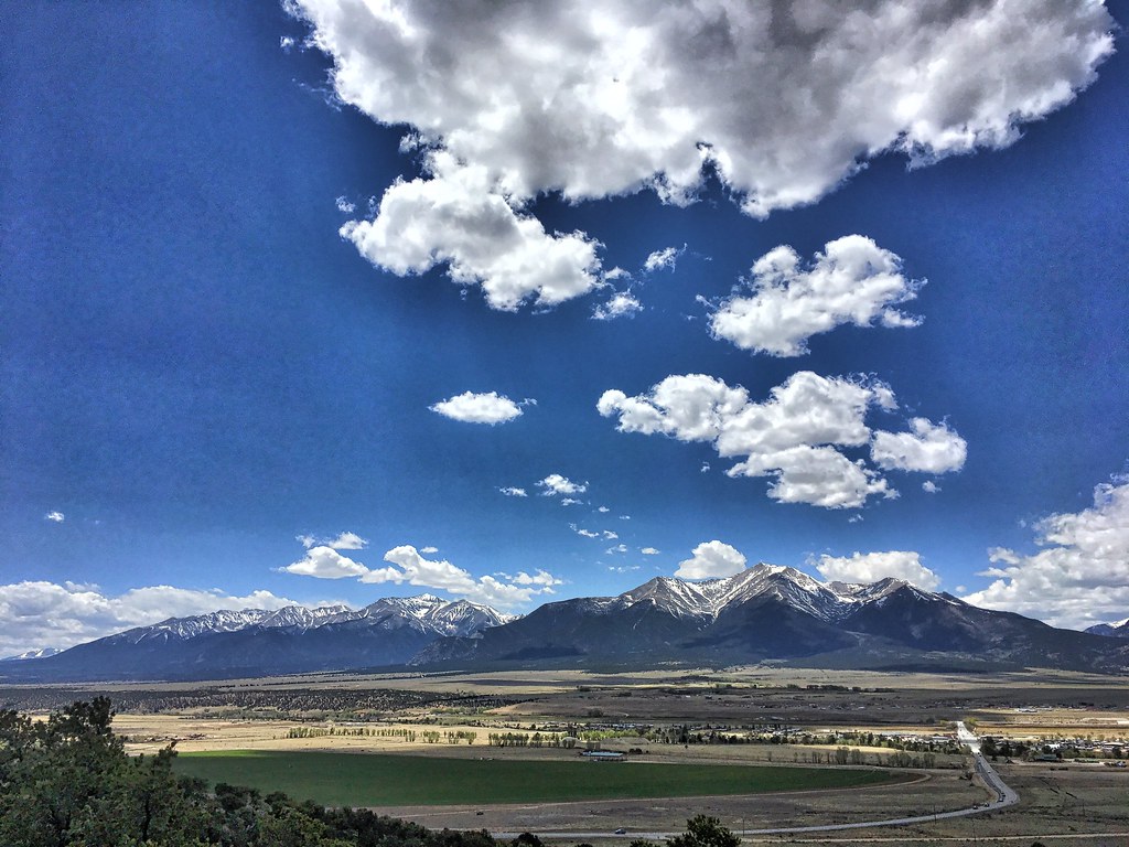
Crank n' Hammer Trail is a mountain biking route in Colorado's Arkansas Headwaters Recreation Area, on land managed by State Fish and Wildlife. It sits within the BLM Site of the recreation area, about 2.6 miles long with a total elevation gain of 131 feet. The trail starts at roughly 8,281 feet and reaches a high point of about 8,294 feet, with the steepest stretch at about 9% grade around the 1.2-mile mark. For comfortable weather, late spring and early fall are the sweet spots. Typical averages from a nearby weather station in Buena Vista show May highs around 67°F and September highs around 74°F, while July and August bring the most wet days, about 12 each month. Camp Elevation South, a mountain biking spot, lies just 0.2 miles away, and the Hilltop and Patina Boulder Area climbing areas are each about 0.3 miles off. For an overnight stay, BV Overlook Camp & Lodging is about 0.7 miles away.
Local outfitters
- Valley Mobile RV Park4 mi away
- Monarch Spur RV Park21 mi away
Not on Roamze yet. Their page has how to reach them.
- Camp Elevation SouthMountain biking0.2 mi
- HilltopRock climbing0.3 mi
- Patina Boulder AreaRock climbing0.3 mi
- Main AreaRock climbing0.4 mi
- A Fistfull of DollarsMountain biking0.6 mi
- BV Overlook Camp & LodgingCamping0.7 mi
- BV OverlookCamping0.7 mi
- Cottonwood CreekCanoeing4.3 mi
Source: Roamze catalog (indexable pages within 10 miles, PostGIS distance)
- Camp Elevation SouthMountain biking · Next door
- A Fistfull of DollarsMountain biking · ~1 min drive
- Bacon Strip TrailMountain biking · ~1 min drive
- DjangoMountain biking · ~1 min drive
- Few Dollars More TrailMountain biking · ~1 min drive
- Broken Boyfriend SouthMountain biking · ~2 min drive
- Camp Elevation NorthMountain biking · ~2 min drive
- Sausage Link TrailMountain biking · ~2 min drive
- MidlandMountain biking · ~2 min drive
- county road 304Mountain biking · ~2 min drive
Best time to visit Crank n' Hammer Trail
Best months: May–September. Best months have typical highs of 55–85 °F, lows of 30 °F or warmer (32 °F where the station doesn't record snow), at most one snowy day and no more than 12 wet days.
Jan
41° / 11°
4 wet
Feb
43° / 14°
5 wet
Mar
50° / 21°
6 wet
Apr
56° / 27°
6 wet
May
67° / 36°
7 wet
Jun
78° / 43°
7 wet
Jul
83° / 49°
12 wet
Aug
80° / 47°
12 wet
Sep
74° / 40°
8 wet
Oct
62° / 29°
6 wet
Nov
50° / 20°
5 wet
Dec
40° / 11°
5 wet
Typical high / low (°F) and days with rain or snow, 1991–2020. Measured at Buena Vista 2s, CO, 1.6 mi away at 7,954 ft. This station doesn't record snowfall. Source: NOAA NCEI U.S. Climate Normals 1991–2020.

Map and trail data © OpenStreetMap contributors
