Silverton Lakes Campground
Campground
Campground · 2.4 mi from the trail
Boulder Gulch Trail is a mountain biking route in Colorado, about 2.4 miles from the town of Howardsville. The trail is roughly 5.5 miles long, and it climbs from a starting elevation of about 12,555 feet to a high point of about 12,998 feet, with a total elevation gain of 3,482 feet. The route also descends about 3,980 feet, so it's a long, steep ride with both ups and downs. The steepest stretch comes at about 3.3 miles into the route, where the grade reaches 50 percent. That makes it a serious challenge for riders, and the trail's length and elevation changes mean planning for a full day on the bike. Several other destinations sit close by. Emery Peak and Dome Mountain are both about 1.6 miles away, and the Animas River offers canoeing about 1.7 miles off. Silverton Lakes Campground is about 2.4 miles away for an overnight stay.
Silverton Lakes Campground
Campground
Smuggler Union Tramhouse
Attraction
Places © OpenStreetMap contributors, Places © Overture Maps Foundation
More in TellurideNot on Roamze yet. Their page has how to reach them.
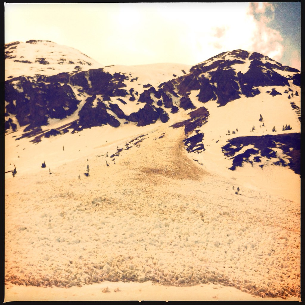 Emery PeakHikingPhoto: denverkid, CC BY 2.0 (via Flickr)1.6 miDome MountainHikingPhoto: denverkid, CC BY 2.0 (via Flickr)1.6 mi
 Animas RiverCanoeingPhoto: Clyde frogg, CC BY-SA 3.0 (via Wikimedia Commons)1.7 mi
 Silverton Lakes CampgroundCampingPhoto: Rainer Halama, CC BY-SA 3.0 (via Wikimedia Commons)2.4 mi
Source: Roamze catalog (indexable pages within 10 miles, PostGIS distance)
 Lewis MineMountain biking · ~14 min drivePhoto: John Fowler from Placitas, NM, USA, CC BY 2.0 (via Wikimedia Commons)BlixtMountain biking · ~15 min drivePhoto: John Fowler from Placitas, NM, USA, CC BY 2.0 (via Wikimedia Commons)
 Bear Creek-South ForkMountain biking · ~17 min drivePhoto: robert thigpen from diboll, texas, CC BY-SA 2.0 (via Wikimedia Commons)
 East Fork Bear CreekMountain biking · ~17 min drivePhoto: Miles Buddy, CC BY-SA 3.0 (via Wikimedia Commons)WasatchMountain biking · ~17 min drivePhoto: Miles Buddy, CC BY-SA 3.0 (via Wikimedia Commons)
 Virginius MineMountain biking · ~19 min drivePhoto: QKC, CC BY-SA 3.0 (via Wikimedia Commons)
 Alpine MineMountain biking · ~20 min drivePhoto: Greg Willis from Denver, CO, usa, CC BY-SA 2.0 (via Wikimedia Commons)
 Liberty BellMountain biking · ~20 min drivePhoto: dmtilley, CC BY 3.0 (via Wikimedia Commons)Jud Wiebe Memorial TrailMountain biking · ~20 min drivePhoto: dmtilley, CC BY 3.0 (via Wikimedia Commons)
 Alta LakesMountain biking · ~20 min drivePhoto: Jeffrey Beall, CC BY 4.0 (via Wikimedia Commons)
Also worth it near here
 Tower MountainSummit · ~2 min drivePhoto: Person-with-No Name, CC BY 2.5 (via Wikimedia Commons)Animas RiverCanoeing · ~3 min drivePhoto: Clyde frogg, CC BY-SA 3.0 (via Wikimedia Commons)
 Silverton MountainDownhill skiing · ~4 min drivePhoto: Zach Dischner, CC BY 2.0 (via Wikimedia Commons)Silverton Lakes CampgroundCamping · ~4 min drivePhoto: Rainer Halama, CC BY-SA 3.0 (via Wikimedia Commons)
Map and trail data © OpenStreetMap contributors
