

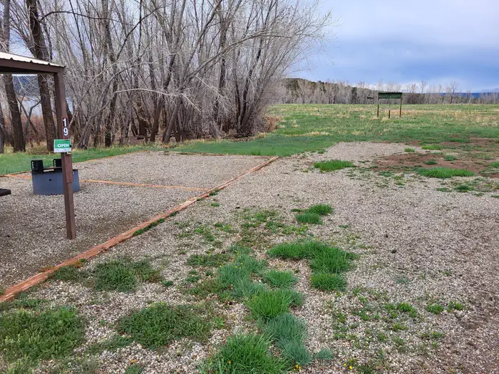

Sundance RV Park
Mountain Biking business nearby (~13 mi away) — hasn't claimed their Roamze page yet
Free — you'll pick up right here.
Watch this trail
Sign up to watch it — saving subscribes you to gate, closure and report changes.
Colorado
1.3 mi
Distance
611 ft
Gain
13 min
Time
No agency boundary, access route or field report is mapped to it — so there is no verdict, and we won't guess. We'll tell you the moment this trail has something to say.
Covered nearby
Trails within 25 miles where we do have a current picture.
Nobody's filed a report here yet — be the first.
Why you'll love it
Lower SC Connect
AI-suggested draft · review before you go
Lower SC Connect is a 1.3-mile trail that serves as an excellent connector route in the southwestern Colorado trail system near the Four Corners region. This shorter trail is ideal for riders looking to link together other local trails or enjoy a quick out-and-back ride in the high desert landscape. The modest length makes it a great option for beginners building their trail resume or experienced riders seeking a warm-up spin.
No permit or access details on file for this trail — check with the local land manager before you go.

Slickrock Blue Trail
~1 min drive
A 1.1-mile blue trail featuring slickrock terrain near Moab, Colorado.
Squaw Canyon Spur
~30 min drive
1.4 mi · Easy
Phil's World
~34 min drive
Moderate 18-mile flow trail network through high desert terrain near Cortez.

East Rock Creek Trail
~1 min drive
A 5.1-mile mountain biking trail in southwestern Colorado near 37.4°N 108.8°W.
Upper SC Connect
~2 min drive
A 0.7-mile connector trail in southwestern Colorado's Durango area trail system.
Rock Creek Trail
~2 min drive
A scenic 3.7-mile Colorado trail featuring rock-lined terrain and creek views.
Sand Canyon Trail
~3 min drive
A 6.5-mile desert trail in southwestern Colorado's scenic canyon country.

Short n' Sweet
~29 min drive
A quick, fun half-mile trail in Phil's World, Colorado.
Hayduke Crossing South
~30 min drive
Quick desert trail segment near Cortez, Colorado in the Four Corners region.
Abajo
~30 min drive
A brief 0.7-mile trail in Phil's World near Fruita, Colorado.
Local operatorsoffering guided trips. You book directly with them — Roamze doesn’t take a cut.
Sundance RV Park
Mountain Biking business nearby (~13 mi away) — hasn't claimed their Roamze page yet