Leadville RV Corral
Campground
Campground · 1.2 mi from the trail
Caution at last check
Weather is marginal · OpenWeather · checked 19 h ago
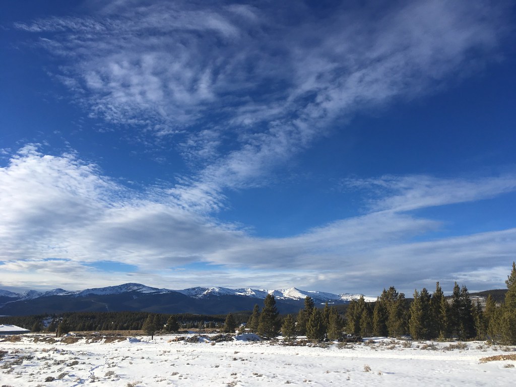
Slip N Slide is a short mountain biking route in Colorado, about a mile from the community of Resurrection Mill. The ride is a low-elevation outing, with a high point of about 10,275 feet and a low of about 10,227 feet, and the climb is gentle, with a total gain of 35 feet over a route of about 1.3 miles. The route starts near 10,261 feet, and the steepest stretch comes early, at about 0.1 mile in, with a grade of about 3%. The trail also has a small loss of about 126 feet, so it's a short, mostly flat ride that works well as a quick stop or a warm-up before heading elsewhere in the area. Summer is the most comfortable time to ride. Typical averages from a nearby weather station at Leadville show July highs around 71°F with lows near 39°F, while winter highs stay around 30°F. The Mineral Belt Trail and the Giddy Up mountain biking route both sit about 0.2 miles away, and Leadville RV Corral is about 1.2 miles off. Crystal Lake Fishing Site is roughly 3.5 miles away.
Leadville RV Corral
Campground
 If it rainsLongled, CC BY-SA 3.0 · Wikimedia Commons
Historic frontier synagogue building
Places © OpenStreetMap contributors, Places © Overture Maps Foundation · Photos: Longled, CC BY-SA 3.0 (commons)
More in LeadvilleNot on Roamze yet. Their page has how to reach them.
 Mineral Belt TrailCross-country skiingPhoto: Famartin, CC BY-SA 4.0 (via Wikimedia Commons)0.2 mi
Source: Roamze catalog (indexable pages within 10 miles, PostGIS distance)
 The WoodsMountain biking · ~16 min drivePhoto: Jeffrey Beall, CC BY 4.0 (via Wikimedia Commons)Lily LakeMountain biking · ~16 min drivePhoto: Jeffrey Beall, CC BY 4.0 (via Wikimedia Commons)Continental Divide Trail and Colorado Trail (Segment 9)Mountain biking · ~16 min drivePhoto: Jeffrey Beall, CC BY 4.0 (via Wikimedia Commons)
Also worth it near here
Best months: June–July and September. Best months have typical highs of 55–85 °F, lows of 30 °F or warmer (32 °F where the station doesn't record snow), at most one snowy day and no more than 12 wet days.
Jan
30° / 5°
10 wet
Feb
31° / 6°
10 wet
Mar
37° / 12°
11 wet
Apr
43° / 19°
11 wet
May
54° / 27°
9 wet
Jun
66° / 34°
7 wet
Jul
71° / 39°
12 wet
Aug
68° / 38°
13 wet
Sep
61° / 32°
9 wet
Oct
50° / 24°
8 wet
Nov
37° / 13°
9 wet
Dec
29° / 5°
10 wet
Typical high / low (°F) and days with rain or snow, 1991–2020. Measured at Leadville Lake Co Ap, CO, 1.5 mi away at 9,932 ft. This station doesn't record snowfall. Source: NOAA NCEI U.S. Climate Normals 1991–2020.
Map and trail data © OpenStreetMap contributors