meaden peak road
- 10.1 mi
- distance
- 1,638 ft
- climb
- Jun–Sep
- best months
Clear at last check
Weather is good · OpenWeather · checked 17 h ago
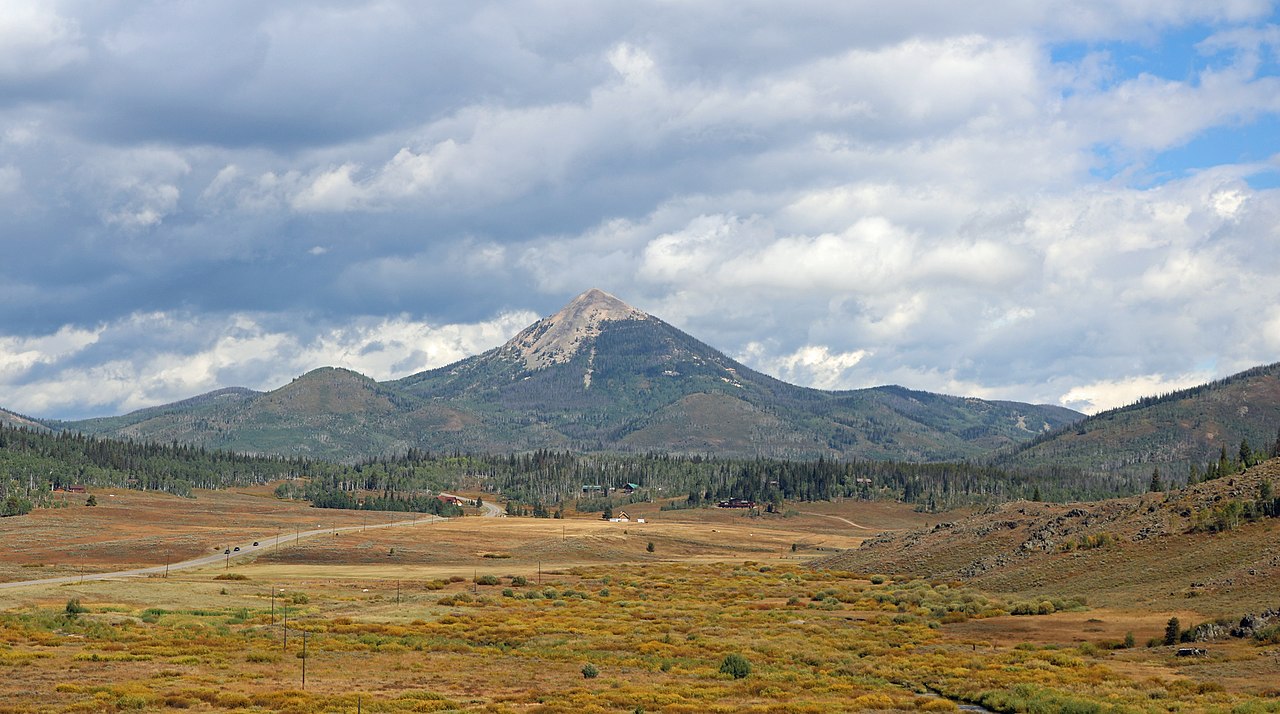
Meaden Peak Road is a 10.12-mile mountain bike trail near Mill Creek, Colorado, with 1,638 feet of elevation gain.
Local outfitters
- Deer Haven RV Park48 mi away
Not on Roamze yet. Their page has how to reach them.
- county road 62Mountain biking0.5 mi
 Dutch Hill CampgroundCampingPhoto: MichaelKirsh, CC BY-SA 4.0 (via Wikimedia Commons)1.9 mi
 Sunrise Vista CampgroundCampingPhoto: Jeffrey Beall, CC BY 4.0 (via Wikimedia Commons)2.4 mi
- Willow Creek TrailHiking2.6 mi
- Willow CreekCanoeing3.2 mi
- Seedhouse CragRock climbing8.4 mi
- Lower CragRock climbing8.5 mi
- King Solomon CreekCanoeing9 mi
Source: Roamze catalog (indexable pages within 10 miles, PostGIS distance)
- county road 62Mountain biking · Next door
- county road 80Mountain biking · ~16 min drive
- South ForkMountain biking · ~16 min drive
- Diamond Park TrailMountain biking · ~21 min drive
- Hot Springs TrailMountain biking · ~28 min drive
- county road 129Mountain biking · ~30 min drive
- county road 44cMountain biking · ~30 min drive
- county road 82Mountain biking · ~31 min drive
- Bear CreekMountain biking · ~31 min drive
- East Fork TrailMountain biking · ~32 min drive
Best time to visit meaden peak road
Best months: June–September. Best months have typical highs of 55–85 °F, lows of 30 °F or warmer (32 °F where the station doesn't record snow), at most one snowy day and no more than 12 wet days.
Jan
28° / 7°
8 wet
Feb
31° / 9°
8 wet
Mar
40° / 15°
8 wet
Apr
49° / 23°
9 wet
May
59° / 30°
10 wet
Jun
71° / 36°
8 wet
Jul
77° / 42°
9 wet
Aug
76° / 40°
11 wet
Sep
68° / 34°
8 wet
Oct
55° / 25°
7 wet
Nov
39° / 16°
8 wet
Dec
29° / 9°
8 wet
Typical high / low (°F) and days with rain or snow, 1991–2020. Measured at Spicer, CO, 36.4 mi away at 8,385 ft. The station sits about 1,500 ft lower than this place, so expect it a little cooler here. This station doesn't record snowfall. Source: NOAA NCEI U.S. Climate Normals 1991–2020.
Map and trail data © OpenStreetMap contributors
