Glenwood Springs West / Colorado River KOA Holiday
Campground
Campground · 5.8 mi from the trail
Bonsai Loop is a short mountain biking loop in Colorado, about 0.9 miles from the town of Rifle. The route is a loop of roughly 0.7 miles, with a low point of about 5,444 feet and a high of about 5,528 feet. The climb is gentle, with an elevation gain of about 85 feet, and the steepest stretch comes at about 0.27 miles into the ride, where the grade reaches about 10%. For comfortable weather, aim for late spring or early fall. Typical averages from a nearby weather station in Rifle show May highs around 74°F and September highs around 80°F, while July averages about 92°F and January highs sit near 37°F. The Davidson Trail starts just 0.1 miles away, and the Gully 2 Descent Trail is about 0.2 miles off. For paddling, Rifle Creek is about 2.9 miles away, and the Glenwood Springs West / Colorado River KOA Holiday campground is about 5.8 miles away.
Glenwood Springs West / Colorado River KOA Holiday
Campground
Chen's Express
Chinese restaurant
Thermal springs in Colorado
Places © OpenStreetMap contributors, Places © Overture Maps Foundation
More in Glenwood SpringsNot on Roamze yet. Their page has how to reach them.
 Rifle CreekCanoeingPhoto: Jeffrey Beall, CC BY 4.0 (via Wikimedia Commons)2.9 mi
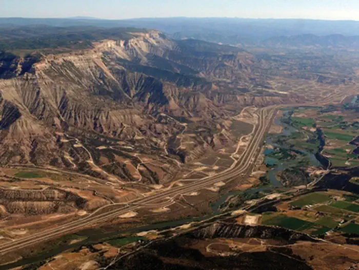 Roan Plateau - JQS Creek CrossRiver fishing3.8 mi
 Cedar CampgroundCampingPhoto: Jeffrey Beall, CC BY 4.0 (via Wikimedia Commons)6.9 mi
Source: Roamze catalog (indexable pages within 10 miles, PostGIS distance)
 MaverickMountain biking · ~22 min drivePhoto: Loco Steve, CC BY 3.0 (via Wikimedia Commons)Crimson RideMountain biking · ~23 min drivePhoto: Loco Steve, CC BY 3.0 (via Wikimedia Commons)Adam's WayMountain biking · ~23 min drivePhoto: Loco Steve, CC BY 3.0 (via Wikimedia Commons)
Best months: April–May and September–October. Best months have typical highs of 55–85 °F, lows of 30 °F or warmer (32 °F where the station doesn't record snow), at most one snowy day and no more than 12 wet days.
Jan
37° / 13°
7 wet
Feb
43° / 20°
7 wet
Mar
55° / 27°
7 wet
Apr
63° / 33°
8 wet
May
74° / 40°
7 wet
Jun
86° / 48°
5 wet
Jul
92° / 55°
8 wet
Aug
89° / 54°
9 wet
Sep
80° / 45°
8 wet
Oct
66° / 34°
7 wet
Nov
50° / 23°
6 wet
Dec
37° / 14°
7 wet
Typical high / low (°F) and days with rain or snow, 1991–2020. Measured at Rifle Garfield Co Ap, CO, 2.2 mi away at 5,530 ft. This station doesn't record snowfall. Source: NOAA NCEI U.S. Climate Normals 1991–2020.
Map and trail data © OpenStreetMap contributors

