Red Canyon
- 1.0 mi
- round trip
- 729 ft
- climb
- 7,986 ft
- high point
- Out and back
- route
- May–Jun, Aug–Sep
- best months
Is RED CANYON open right now?
Alert in the area
The Forest Service lists 6 alerts for White River National Forest.
FSR 286, Radical Hill, is closed due to washouts and unsafe conditions
Agency alert covering White River National Forest · USFS · White River National Forest
Limited parking at Snowmass Creek Trailhead
Agency alert covering White River National Forest · USFS · White River National Forest
Grizzly Creek Trail Closure
Agency alert covering White River National Forest · Order 2026-02 · USFS · White River National Forest
Ruedi Marina Day Use area Dump Station is CLOSED
Agency alert covering White River National Forest · USFS · White River National Forest
Asbestos safety closure - Camp Hale
Agency alert covering White River National Forest · USFS · White River National Forest
As of · Source: USFS · White River National Forest. Agencies don't list every closure — check before you go.
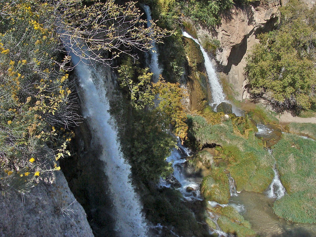
Red Canyon is an easy out-and-back hike in the Blanco Ranger District of White River National Forest in Colorado, managed by the Forest Service. The trail is about 2 miles long, with a total climb of roughly 730 feet, and it starts at an elevation of about 7,600 feet, reaching a high point near 8,000 feet. The most comfortable months for a visit are typically June and September. Typical averages from a nearby weather station at Meeker put June highs around 81°F and September highs around 76°F, though that station sits well below the trail, so temperatures on the ridge run cooler. Middle Miller Creek is about half a mile away, and East Miller and Middle Mountain are both within 2 miles. For an overnight stay, Rifle Mountain Park campground is about 10 miles off.
Local outfitters
- Flat Tops Wilderness Guides32 mi away
- Hanging Lake Adventure Co-op32 mi away
Not on Roamze yet. Their page has how to reach them.
- MIDDLE MILLER CREEKHiking0.4 mi
- East MillerHiking1.5 mi
- MIDDLE MOUNTAINHiking1.7 mi
- West Miller CreekHiking4.1 mi
- Three ForksHiking4.4 mi
- Miller CreekCanoeing4.5 mi
- North Elk CreekCanoeing6.9 mi
- Rifle Mountain ParkCamping9.9 mi
Source: Roamze catalog (indexable pages within 10 miles, PostGIS distance)
 Bobcat TrailHiking · ~21 min drivePhoto: iagoarchangel, CC BY-SA 2.0 (via Flickr)
 Squirrel TrailHiking · ~22 min drivePhoto: Mike Allbee, CC BY-SA 3.0 (via Wikimedia Commons)
- East MillerHiking · ~3 min drive
- MIDDLE MILLER CREEKHiking · Next door
- COLD SPRING LOOPHiking · ~7 min drive
- MIDDLE MOUNTAINHiking · ~3 min drive
- West Miller CreekHiking · ~7 min drive
- T I CUTOFFHiking · ~8 min drive
- Three ForksHiking · ~8 min drive
- North ElkHiking · ~13 min drive
Best time to visit RED CANYON
Best months: May–June and August–September. Best months have typical highs of 55–85 °F, lows of 30 °F or warmer (32 °F where the station doesn't record snow), at most one snowy day and no more than 12 wet days.
Jan
34° / 8°
9 wet
Feb
39° / 13°
10 wet
Mar
50° / 23°
10 wet
Apr
58° / 29°
11 wet
May
69° / 36°
10 wet
Jun
81° / 43°
7 wet
Jul
87° / 50°
9 wet
Aug
85° / 49°
10 wet
Sep
76° / 41°
9 wet
Oct
62° / 30°
8 wet
Nov
47° / 20°
9 wet
Dec
36° / 9°
9 wet
Typical high / low (°F) and days with rain or snow, 1991–2020. Measured at Meeker Ap, CO, 14.5 mi away at 6,390 ft. The station sits about 1,600 ft lower than this place, so expect it a little cooler here. This station doesn't record snowfall. Source: NOAA NCEI U.S. Climate Normals 1991–2020.
