Flag Creek
- 1.2 mi
- round trip
- 503 ft
- climb
- 8,616 ft
- high point
- Out and back
- route
Is FLAG CREEK open right now?
Alert in the area
The Forest Service lists 6 alerts for White River National Forest.
FSR 286, Radical Hill, is closed due to washouts and unsafe conditions
Agency alert covering White River National Forest · USFS · White River National Forest
Limited parking at Snowmass Creek Trailhead
Agency alert covering White River National Forest · USFS · White River National Forest
Grizzly Creek Trail Closure
Agency alert covering White River National Forest · Order 2026-02 · USFS · White River National Forest
Ruedi Marina Day Use area Dump Station is CLOSED
Agency alert covering White River National Forest · USFS · White River National Forest
Asbestos safety closure - Camp Hale
Agency alert covering White River National Forest · USFS · White River National Forest
As of · Source: USFS · White River National Forest. Agencies don't list every closure — check before you go.
Flag Creek is an easy out-and-back hike in Colorado's White River National Forest, within the Blanco Ranger District. The trail is about 2.4 miles long, with a total elevation gain of 503 feet, and it starts at roughly 8,588 feet, reaching a high point of 8,616 feet. The climb is steady, and the steepest stretch comes early, around 0.07 miles from the start, with a grade of about 12 percent. The hike is short enough to fit into a single afternoon. Plan on about an hour for the round trip, and the trail is managed by the Forest Service. Several other hikes lie within a few miles. West Miller Creek is about 1.2 miles away, and T I Cutoff is about 2 miles off. Middle Mountain and Middle Miller Creek are both within about 5 miles.
Local outfitters
- Hanging Lake Adventure Co-op34 mi away
- Glenwood Canyon Resort35 mi away
Not on Roamze yet. Their page has how to reach them.
- West Miller CreekHiking1.2 mi
- T I CUTOFFHiking2 mi
- MIDDLE MOUNTAINHiking3.6 mi
- MIDDLE MILLER CREEKHiking5 mi
- RED CANYONHiking5.3 mi
- East MillerHiking6.6 mi
- Three ForksHiking7 mi
- Miller CreekCanoeing8.7 mi
Source: Roamze catalog (indexable pages within 10 miles, PostGIS distance)
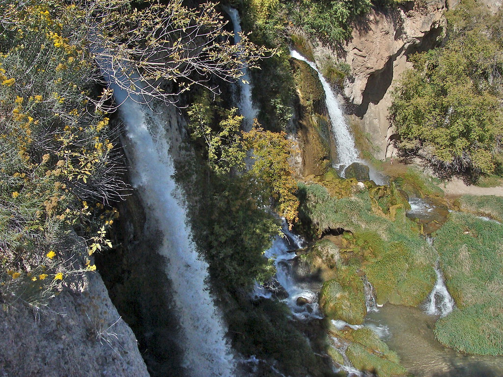 Bobcat TrailHiking · ~21 min drivePhoto: iagoarchangel, CC BY-SA 2.0 (via Flickr)
 Squirrel TrailHiking · ~22 min drivePhoto: Mike Allbee, CC BY-SA 3.0 (via Wikimedia Commons)
- MIDDLE MOUNTAINHiking · ~6 min drive
 Coulter Mesa State TrailHiking · ~24 min drivePhoto: Mike Allbee, CC BY-SA 3.0 (via Wikimedia Commons)
- T I CUTOFFHiking · ~3 min drive
- East MillerHiking · ~11 min drive
- West Miller CreekHiking · ~2 min drive
- COLD SPRING LOOPHiking · ~5 min drive
- Three ForksHiking · ~12 min drive
- MIDDLE MILLER CREEKHiking · ~9 min drive
