Mizpah Campground
Campground
Campground · 3.5 mi from the trail
Alert in the area
The Forest Service lists 3 alerts for Arapaho and Roosevelt National Forests.
Fire Restrictions
Agency alert covering Arapaho and Roosevelt National Forests · USFS · Arapaho and Roosevelt National Forests
Fire Restrictions
Agency alert covering Sulphur Ranger District · USFS · Sulphur Ranger District
Permanent Recreational Shooting Order
Agency alert covering Sulphur Ranger District · Order 02-10-00-25-02 · USFS · Sulphur Ranger District
As of · Source: USFS · Arapaho and Roosevelt National Forests. Agencies don't list every closure — check before you go.
Vasquez Pass is a hard hike in the Vasquez Peak Wilderness, part of the Sulphur Ranger District of the Arapaho and Roosevelt National Forests in Colorado. The Forest Service manages the land, and the trail is a natural-surface out-and-back that climbs from about 10,000 feet to about 11,700 feet over roughly 8.8 miles. The one-way gain is about 2,900 feet. The trail is open to horses, and bikes are not allowed. That makes it a good fit for riders on horseback, and a natural choice for anyone looking to spend the night in the backcountry. For supplies and a base, Mizpah Campground and Robbers Roost Campground both sit within about 4 miles. Mount Nystrom and Vasquez Creek are also close by, with the creek about 2.6 miles away.
Mizpah Campground
Campground
 If it rainsUser:Magicpiano, CC BY-SA 4.0 · Wikimedia Commons
Historic house-museum in Georgetown, Colorado, United States
Places © OpenStreetMap contributors · Photos: User:Magicpiano, CC BY-SA 4.0 (commons)
More in Idaho Springs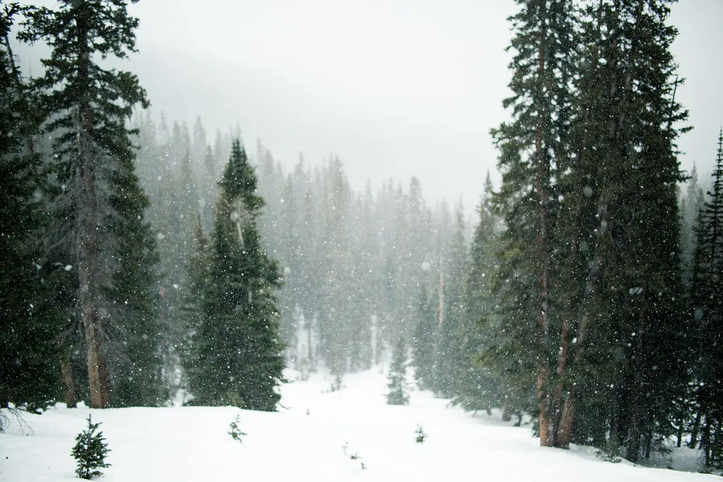 Mount NystromHikingPhoto: Grant Lemons grantlemons — Wikimedia Commons (CC0)2.7 mi
Source: Roamze catalog (indexable pages within 10 miles, PostGIS distance)
 Second CreekHiking · ~5 min drivePhoto: Apollo⠀, CC BY 2.0 (via Flickr)
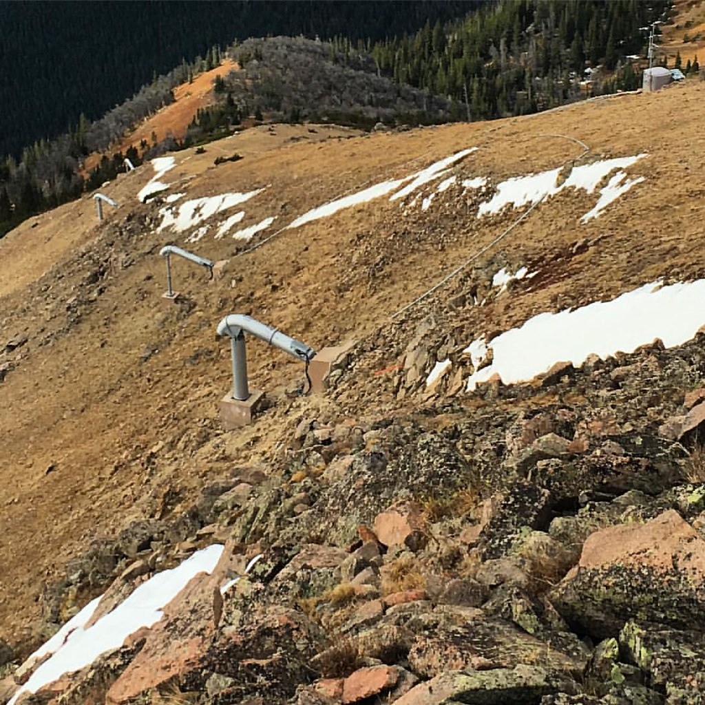 Elk Creek Loop TrailHiking · ~8 min drivePhoto: gregor_y, CC BY-SA 2.0 (via Flickr)
 ELK CREEK LOOPHiking · ~8 min drivePhoto: gregor_y, CC BY-SA 2.0 (via Flickr)UPPER ELK CREEKHiking · ~9 min drivePhoto: gregor_y, CC BY-SA 2.0 (via Flickr)East Elk CreekHiking · ~9 min drivePhoto: gregor_y, CC BY-SA 2.0 (via Flickr)
 Jim CreekHiking · ~11 min drivePhoto: halseike, CC BY 2.0 (via Flickr)
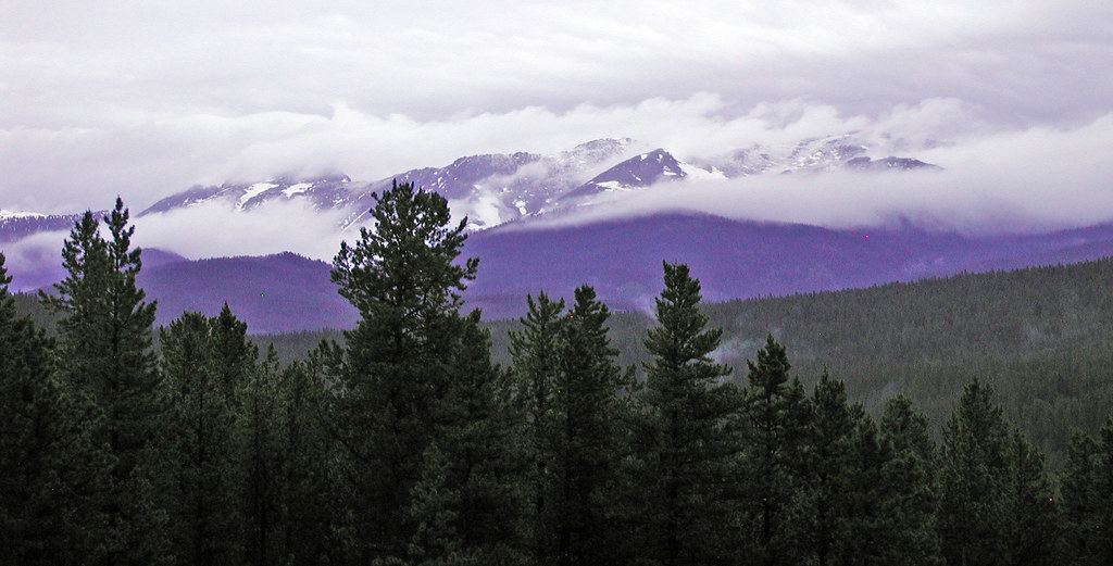 Blue SkyHiking · ~11 min drivePhoto: edcrowle, CC BY 2.0 (via Flickr)


