Mount Nystrom
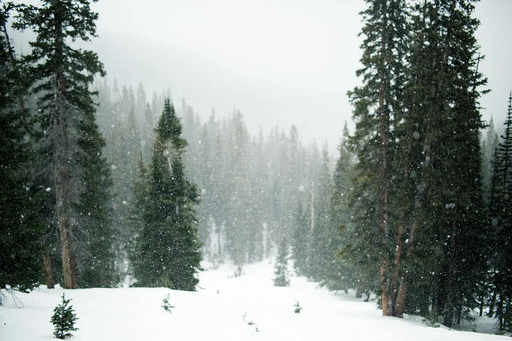 Photo: Grant Lemons grantlemons — Wikimedia Commons (CC0)
- 23.3 mi
- round trip
- 2,798 ft
- climb
- 12,677 ft
- high point
- Out and back
- route
Is Mount Nystrom open right now?
Alert in the area
The Forest Service lists 3 alerts for Arapaho and Roosevelt National Forests.
Fire Restrictions
Agency alert covering Arapaho and Roosevelt National Forests · USFS · Arapaho and Roosevelt National Forests
Fire Restrictions
Agency alert covering Sulphur Ranger District · USFS · Sulphur Ranger District
Permanent Recreational Shooting Order
Agency alert covering Sulphur Ranger District · Order 02-10-00-25-02 · USFS · Sulphur Ranger District
As of · Source: USFS · Arapaho and Roosevelt National Forests. Agencies don't list every closure — check before you go.
Mount Nystrom is a hard hike in Colorado's Arapaho and Roosevelt National Forests, within the Sulphur Ranger District. The route is an out-and-back that climbs from about 11,000 feet to 12,677 feet, with a total elevation gain of 2,798 feet over a distance of about 23 miles. The Forest Service manages the land, and the trail is natural-surfaced and open to horses. The trip runs from May through October, and the trail is not open to bikes. Plan for a long day on foot, with the high point at the top of the climb. Nearby, Vasquez Pass and St Louis Lake are both within about 3 miles. Byers Creek Campground and Mizpah Campground offer places to stay, and Vasquez Creek is a paddling option.
- Vasquez PassHiking2.7 mi
- St Louis LakeHiking3.1 mi
- Vasquez CreekCanoeing3.3 mi
- Byers Creek CampgroundCamping3.5 mi
 Saint Louis CreekCanoeingPhoto: Jeffrey Beall, CC BY 4.0 (via Wikimedia Commons)3.9 mi
- Mizpah CampgroundCamping5.8 mi
- Vasquez RoadRock climbing6.1 mi
- B-Lot BoulderRock climbing7.3 mi
Source: Roamze catalog (indexable pages within 10 miles, PostGIS distance)
Route details
- Distance
- 23.3 mi round trip
- Climbing
- About 2,798 ft
- Starts at
- BERTHOUD PASS (about 12,567 ft)
- Summit
- 12,651 ft
- Difficulty
- Hard
Getting there
Park at BERTHOUD PASS.
Questions about this route
How long is the Mount Nystrom on Mount Nystrom?
About 23.3 mi round trip from BERTHOUD PASS (about 12,567 ft).
How much elevation gain is on the Mount Nystrom?
About 2,798 ft of climbing round trip.
How hard is the Mount Nystrom?
It is rated hard.
Where does the Mount Nystrom start?
BERTHOUD PASS (about 12,567 ft).
Conditions and forecast on Mount Nystrom
Daily highs and lows, wind and the chance of precipitation at the summit and route start for the next 7 days, from the Open-Meteo model.
