Upper Salt Lick
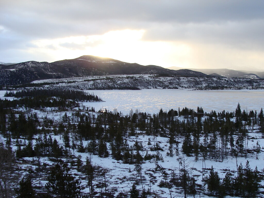 Photo: iagoarchangel, CC BY-SA 2.0 (via Flickr)
- 3.3 mi
- round trip
- 626 ft
- climb
- 9,929 ft
- high point
- Out and back
- route
- Jun–Jul
- best months
Is Upper Salt Lick open right now?
Alert in the area
The Forest Service lists 6 alerts for White River National Forest.
FSR 286, Radical Hill, is closed due to washouts and unsafe conditions
Agency alert covering White River National Forest · USFS · White River National Forest
Limited parking at Snowmass Creek Trailhead
Agency alert covering White River National Forest · USFS · White River National Forest
Grizzly Creek Trail Closure
Agency alert covering White River National Forest · Order 2026-02 · USFS · White River National Forest
Ruedi Marina Day Use area Dump Station is CLOSED
Agency alert covering White River National Forest · USFS · White River National Forest
Asbestos safety closure - Camp Hale
Agency alert covering White River National Forest · USFS · White River National Forest
As of · Source: USFS · White River National Forest. Agencies don't list every closure — check before you go.
Upper Salt Lick is an easy out-and-back hike in the Dillon Ranger District of Colorado's White River National Forest, about 3.3 miles long with a one-way elevation gain of 626 feet. The trail starts at the Salt Lick Trailhead and climbs from a low point of 9,249 feet to a high of 9,929 feet. The route is on natural surface and is open to both horses and bikes, so it works for riders and pack animals as well as hikers. The Forest Service manages the land, and the trail is open year-round. Summer is the most comfortable time to go. Typical averages from a nearby weather station in Dillon run to highs around 75°F in July, with lows near 38°F. That station sits about 860 feet lower than the trail's high point, so temperatures on the summit run cooler. Sluice Box is just 0.1 mile away, and the Creek mountain biking area is 0.2 mile off. Heaton Bay Campground and Old Dillon Reservoir #87 are both within a mile.
Go with a guide
- Mineral Belt Trail Guided WalkRoamze · $25 per person · 27 mi away
- Lostfork Basecamp25 mi away
 Sluice BoxHikingPhoto: jikatu, CC BY-SA 2.0 (via Flickr)0.1 mi
 CreekMountain bikingPhoto: Nathan Anderson nathananderson, CC0 (via Wikimedia Commons)0.2 mi
- Heaton Bay CampgroundCamping0.8 mi
- Old Dillon Reservoir #87Lake fishing0.9 mi
 Heaton Bay Picnic SiteCampingPhoto: KimonBerlin, CC BY-SA 2.0 (via Wikimedia Commons)0.9 mi
- Blue RiverRiver fishing1.6 mi
- Frisco BouldersRock climbing2.8 mi
 Mount Royal (near Frisco)Rock climbingPhoto: tkksummers, CC BY-SA 2.0 (via Flickr)2.9 mi
Source: Roamze catalog (indexable pages within 10 miles, PostGIS distance)
- Sluice BoxHiking · Next doorPhoto: jikatu, CC BY-SA 2.0 (via Flickr)
- LeopoldHiking · ~2 min drive
- Trail near Old Dillon ReservoirHiking · Next doorPhoto: iagoarchangel, CC BY-SA 2.0 (via Flickr)
 USL ConnectorHiking · Next doorPhoto: iagoarchangel, CC BY-SA 2.0 (via Flickr)
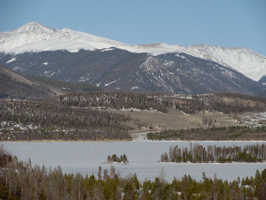 So-uv TrailHiking · Next doorPhoto: iagoarchangel, CC BY-SA 2.0 (via Flickr)
- Teva TrailHiking · Next doorPhoto: jikatu, CC BY-SA 2.0 (via Flickr)
 Trail near Old Dillon ReservoirHiking · Next doorPhoto: jikatu, CC BY-SA 2.0 (via Flickr)
- CreekHiking · Next doorPhoto: jikatu, CC BY-SA 2.0 (via Flickr)
- Sunrise TrailHiking · Next doorPhoto: iagoarchangel, CC BY-SA 2.0 (via Flickr)
- Nah-Oon-KaraHiking · Next doorPhoto: iagoarchangel, CC BY-SA 2.0 (via Flickr)
Best time to visit Upper Salt Lick
Best months: June–July. Best months have typical highs of 55–85 °F, lows of 30 °F or warmer (32 °F where the station doesn't record snow), at most one snowy day and no more than 12 wet days.
Jan
31° / 1°
12 wet
Feb
33° / 4°
11 wet
Mar
41° / 10°
11 wet
Apr
47° / 18°
11 wet
May
58° / 26°
10 wet
Jun
69° / 33°
9 wet
Jul
75° / 38°
12 wet
Aug
73° / 37°
13 wet
Sep
66° / 30°
10 wet
Oct
54° / 21°
8 wet
Nov
41° / 11°
9 wet
Dec
32° / 3°
11 wet
Typical high / low (°F) and days with rain or snow, 1991–2020. Measured at Dillon 1 E, CO, 3.1 mi away at 9,065 ft. The station sits about 900 ft lower than this place, so expect it a little cooler here. This station doesn't record snowfall. Source: NOAA NCEI U.S. Climate Normals 1991–2020.

