Twin Peaks Trail
- 2.0 mi
- round trip
- 241 ft
- climb
- 7,567 ft
- high point
- Out and back
- route
- May–Sep
- best months
Twin Peaks Trail is an easy 4-mile out-and-back hike on city-managed land in Colorado, set within the Sierra Blanca Trail area. The trail climbs from about 7,535 feet to 7,567 feet, with a total gain of 241 feet and a steepest stretch of about 5% at roughly 0.4 miles in. That makes it a short, low-effort outing for anyone already exploring the surrounding network of trails. Late spring and early fall tend to be the most comfortable times to go. Typical averages from a nearby weather station in Alamosa put May highs around 69°F and September highs around 75°F, with July and August bringing more frequent wet days. The trail sits within a cluster of other short walks. The Sierra Blanca Trail is 0.2 miles away, the Dike Trail is 0.3 miles away, and the Crestone Trail is 0.4 miles away. For an overnight stay, Sunshine RV Park is 0.9 miles off.
- Sierra Blanca TrailHiking0.2 mi
- Dike TrailHiking0.3 mi
- Crestone TrailHiking0.4 mi
- Sunshine RV ParkCamping0.9 mi
- Malm TrailHiking1.3 mi
- KOA AlamosaCamping3.4 mi
 Base Camp Family CampgroundCampingPhoto: David Herrera from Albuquerque, NM, Bernalillo, CC BY 2.0 (via Wikimedia Commons)7 mi
- Ramble at Great Sand DunesCamping7.4 mi
Source: Roamze catalog (indexable pages within 10 miles, PostGIS distance)
 Twin PeaksHiking · ~33 min drivePhoto: Eric Johnson, CC BY-SA 3.0 (via Wikimedia Commons)
 S. ZapataHiking · ~34 min drivePhoto: Fredlyfish4, CC BY-SA 4.0 (via Wikimedia Commons)
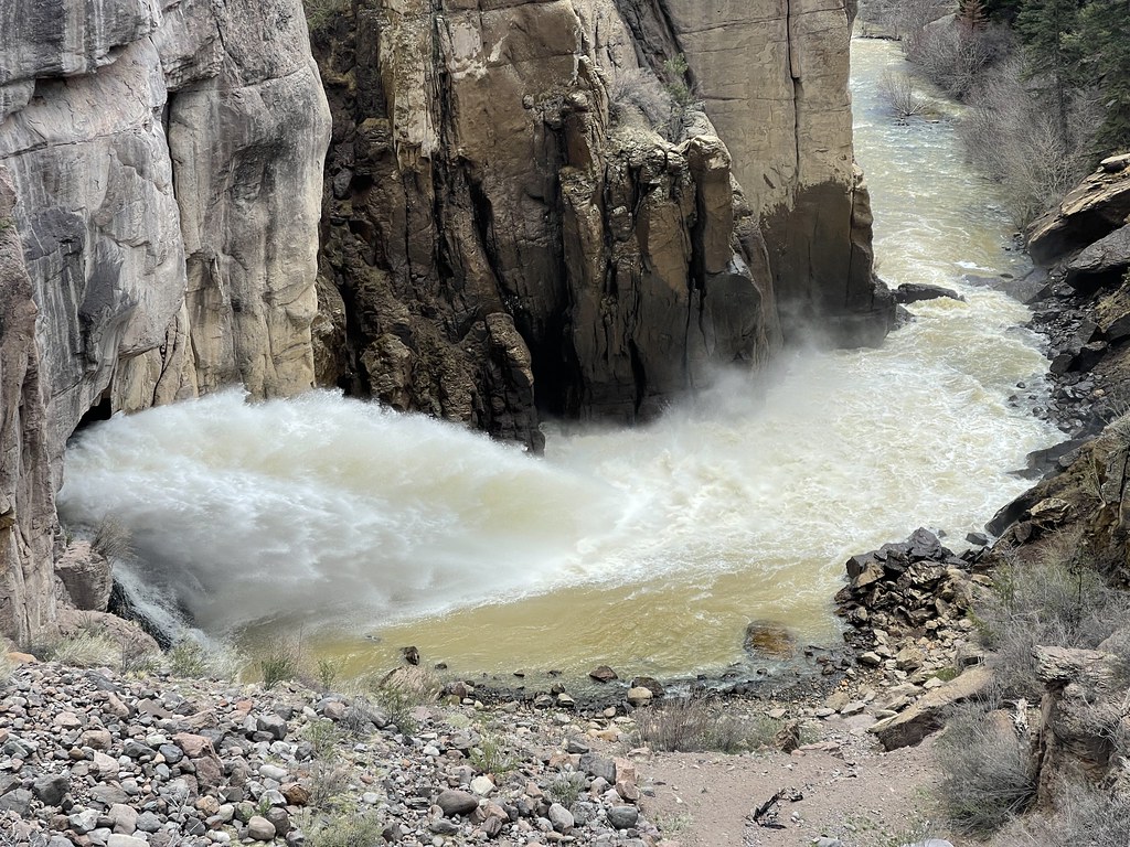 Hot Creek TrailHiking · ~42 min drivePhoto: Jeffrey Beall, CC BY-SA 2.0 (via Flickr)
- Star DuneHiking · ~43 min drive
- ZapataHiking · ~41 min drive
- California PeakHiking · ~33 min drivePhoto: Eric Johnson, CC BY-SA 3.0 (via Wikimedia Commons)
- N. Fork ZapataHiking · ~35 min drivePhoto: Fredlyfish4, CC BY-SA 4.0 (via Wikimedia Commons)
- Sierra Blanca TrailHiking · Next door
- Rimrock TrailHiking · ~42 min drive
- Little Bear PeakHiking · ~28 min drive
Also worth it near here
- Los Caminos AntiguosScenic drive · ~1 min drive
- Base Camp Family CampgroundCamping · ~12 min drivePhoto: David Herrera from Albuquerque, NM, Bernalillo, CC BY 2.0 (via Wikimedia Commons)
- San Luis LakeLake fishing · ~27 min drive
 Alamosa RiverCanoeing · ~32 min drivePhoto: Jeffrey Beall, CC BY 4.0 (via Wikimedia Commons)
Best time to visit Twin Peaks Trail
Best months: May–September. Best months have typical highs of 55–85 °F, lows of 30 °F or warmer (32 °F where the station doesn't record snow), at most one snowy day and no more than 12 wet days.
Jan
35° / 0°
4 wet
Feb
43° / 7°
4 wet
Mar
53° / 17°
4 wet
Apr
59° / 26°
4 wet
May
69° / 34°
5 wet
Jun
79° / 42°
5 wet
Jul
83° / 48°
10 wet
Aug
80° / 45°
9 wet
Sep
75° / 37°
7 wet
Oct
64° / 25°
4 wet
Nov
51° / 13°
3 wet
Dec
37° / 2°
5 wet
Typical high / low (°F) and days with rain or snow, 1991–2020. Measured at Alamosa 1e, CO, 0.5 mi away at 7,540 ft. This station doesn't record snowfall. Source: NOAA NCEI U.S. Climate Normals 1991–2020.
Map and trail data © OpenStreetMap contributors
