Happily Lost
Campground
Campground · 0.9 mi from the trail
Closure in the area
There's a closure order in Rocky Mountain National Park. It doesn't name Stormy Peaks Trail, so check the source for the area it covers.
Trail Ridge Road is Closed to Through Travel for the Season
Park closure covering Rocky Mountain National Park · NPS · Rocky Mountain National Park
As of · Source: NPS · Rocky Mountain National Park. Agencies don't list every closure — check before you go.
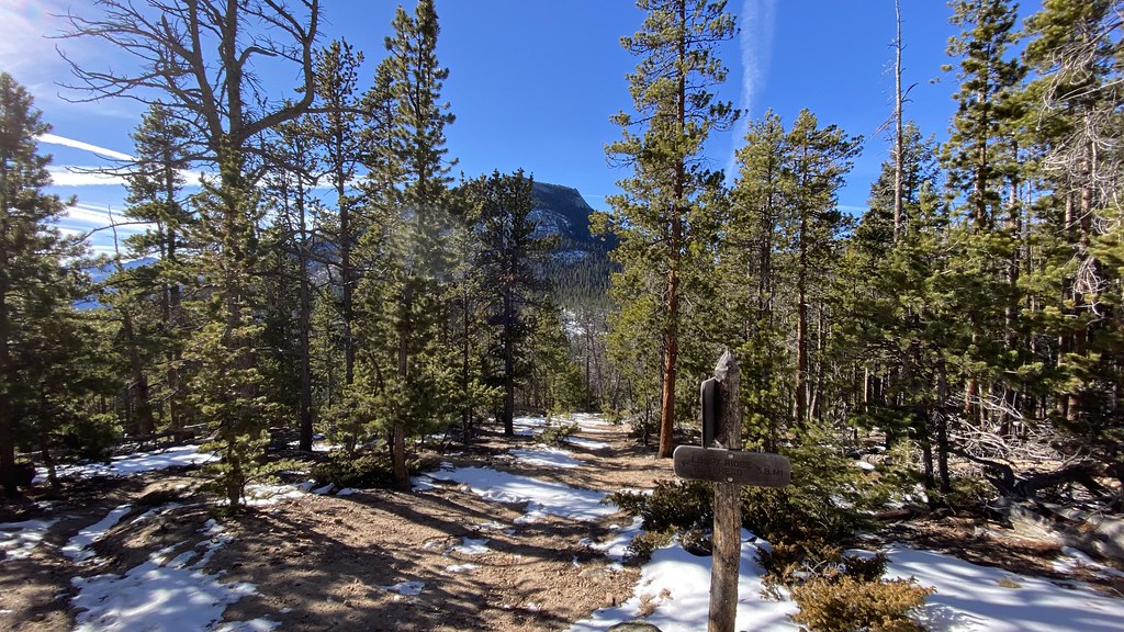
Stormy Peaks Trail is a 1.88-mile out-and-back route in Colorado with 1,200 feet of elevation gain, reaching a maximum elevation of 11,800 feet. The trail ascends through high-altitude terrain, offering views of the surrounding peaks.
Happily Lost
Campground
Almost East Gemstone Peak
Viewpoint
Places © OpenStreetMap contributors, Places © Overture Maps Foundation
More in Estes ParkNot on Roamze yet. Their page has how to reach them.
 North Fork Big Thompson RiverCanoeingPhoto: Unknown author, Public domain (via Wikimedia Commons)5.3 mi
 Cow Creek Canyon / McGraw Ranch trailheadRock climbingPhoto: KimonBerlin, CC BY-SA 2.0 (via Flickr)5.7 mi
Source: Roamze catalog (indexable pages within 10 miles, PostGIS distance)
 Mummy PassHiking · ~7 min drivePhoto: Brett Levin Photography, CC BY 2.0 (via Flickr)Surprise Pond TrailHiking · ~8 min drivePhoto: Brett Levin Photography, CC BY 2.0 (via Flickr)
 North BoundaryHiking · ~10 min drivePhoto: lamblukas, CC BY 2.0 (via Flickr)
 Black Canyon TrailHiking · ~10 min drivePhoto: lamblukas, CC BY 2.0 (via Flickr)
 Ridge TrailHiking · ~8 min drivePhoto: Jesse James — CC BY 2.0 (via Flickr)Dark Mountain TrailHiking · ~10 min drivePhoto: lamblukas, CC BY 2.0 (via Flickr)
Map and trail data © OpenStreetMap contributors

