Stormy Peaks North Campsite
Campground
Campground · 2.3 mi from the trail
Alert in the area
The Forest Service lists 4 alerts for Canyon Lakes Ranger District.
Salt Cabin Prescribed (RX) Fire Closure
Agency alert covering Canyon Lakes Ranger District · Order 02-10-05-26-11 · USFS · Canyon Lakes Ranger District
Fire Restrictions
Agency alert covering Arapaho and Roosevelt National Forests · USFS · Arapaho and Roosevelt National Forests
West Crystal A - Mechanical Fuelbreak Area and Road Closure
Agency alert covering Canyon Lakes Ranger District · Order 02-10-05-26-04 · USFS · Canyon Lakes Ranger District
Cameron Peak Fire Road Closures
Agency alert covering Canyon Lakes Ranger District · Order 02-10-05-26-01 · USFS · Canyon Lakes Ranger District
As of · Source: USFS · Canyon Lakes Ranger District. Agencies don't list every closure — check before you go.
East Stormy Peaks Trail is a 1.94-mile out-and-back route in Colorado with 1,200 feet of elevation gain. The trail reaches a maximum elevation of 11,800 feet.
Stormy Peaks North Campsite
Campground
Almost East Gemstone Peak
Viewpoint
Places © OpenStreetMap contributors, Places © Overture Maps Foundation
More in Estes ParkNot on Roamze yet. Their page has how to reach them.
 North Fork Big Thompson RiverCanoeingPhoto: Unknown author, Public domain (via Wikimedia Commons)6.6 mi
 Cow Creek Canyon / McGraw Ranch trailheadRock climbingPhoto: KimonBerlin, CC BY-SA 2.0 (via Flickr)8.1 mi
Source: Roamze catalog (indexable pages within 10 miles, PostGIS distance)
 Surprise Pond TrailHiking · ~5 min drivePhoto: Brett Levin Photography, CC BY 2.0 (via Flickr)Mummy PassHiking · ~6 min drivePhoto: Brett Levin Photography, CC BY 2.0 (via Flickr)
 Ridge TrailHiking · ~11 min drivePhoto: Jesse James — CC BY 2.0 (via Flickr)
 North Fox TrailHiking · ~12 min drivePhoto: christinejwarner, CC BY 2.0 (via Flickr)
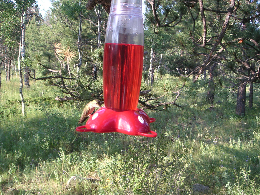 Jacks Gulch Cg Loop TrailHiking · ~11 min drivePhoto: lojjic, CC BY-SA 2.0 (via Flickr)
Map and trail data © OpenStreetMap contributors

