

Maroon Bells Guide and Outfitters
Hiking business nearby (~27 mi away) — hasn't claimed their Roamze page yet
Free — you'll pick up right here.
Watch this trail
Sign up to watch it — saving subscribes you to gate, closure and report changes.
Colorado
2.6 mi
Distance
648 ft
Gain
We won't guess. Here is exactly what we do and don't know.
What we do know
Inside Pike and San Isabel National Forests
3 managing-area boundaries mapped — agency alerts for them feed this page automatically.
Boundary data
What's missing
No access route mapped
We don't yet know which road reaches this trailhead, so we can't tell you if it's gated.
Nobody's filed a report here yet — be the first.
Why you'll love it
St. Kevin's Lake
AI-suggested draft · review before you go
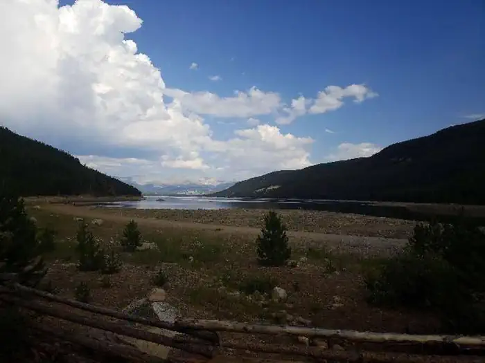
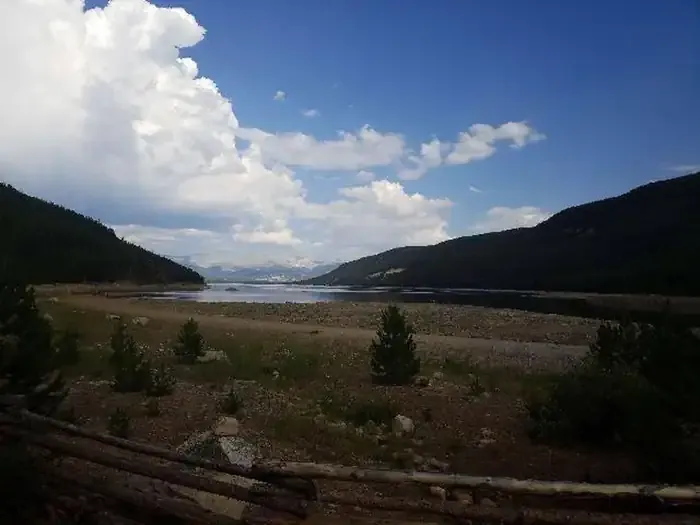
St. Kevin's Lake is a 2.6-mile out-and-back trail located in Colorado near the San Juan National Forest's Columbine Ranger District (East). This accessible route takes hikers to an alpine lake nestled in the high country, making it an ideal choice for those seeking mountain scenery without committing to a full-day expedition. The trail is managed by the U.S. Forest Service through the San Juan National Forest, ensuring proper maintenance and stewardship of the area. The out-and-back format means hikers follow the same route returning, allowing for flexible turnaround times based on individual fitness levels and interests. St. Kevin's Lake offers a relatively short distance compared to many Colorado alpine hikes, making it suitable for families and hikers of varying experience levels. The destination provides access to Colorado's distinctive high-altitude lake environment, where visitors can experience alpine ecosystems and mountain views. Plan your visit through the San Juan National Forest's Columbine Ranger District for current conditions and any seasonal closures. The lake's proximity to the ranger district office makes it a convenient option for those exploring the broader Colorado backcountry.

Timberline
~4 min drive
8.3 mi · Hard

Fallen Tree
~7 min drive
2.3 mi · Easy

Powderhound
~11 min drive
3.6 mi · Moderate
Mount Elbert
~17 min drive
Standard route to Mount Elbert (14,439 ft) from Mount Elbert Trailhead (North/Northeast Ridge).

Swamp Lake
~9 min drive
3.8 mi · Hard

Rift
~7 min drive
1.9 mi · Easy

South Willow Creek
~13 min drive
2.5 mi · Moderate

Rock Creek
~10 min drive
6.2 mi · Hard
Turquoise Lake Nature
~7 min drive
1.1 mi · Easy

Missouri Lakes
~15 min drive
9.0 mi · Moderate
Local operatorsoffering guided trips. You book directly with them — Roamze doesn’t take a cut.
Maroon Bells Guide and Outfitters
Hiking business nearby (~27 mi away) — hasn't claimed their Roamze page yet
Arrowhead Point Campground and Cabins
Hiking business nearby (~32 mi away) — hasn't claimed their Roamze page yet
Valley Mobile RV Park
Hiking business nearby (~33 mi away) — hasn't claimed their Roamze page yet