Fern Lake Campsite
Campground
Campground · 0.1 mi from the trail
 Photo: KimonBerlin, CC BY-SA 2.0 (via Flickr)
Closure in the area
There's a closure order in Rocky Mountain National Park. It doesn't name Spruce Lake Trail, so check the source for the area it covers.
Trail Ridge Road is Closed to Through Travel for the Season
Park closure covering Rocky Mountain National Park · NPS · Rocky Mountain National Park
As of · Source: NPS · Rocky Mountain National Park. Agencies don't list every closure — check before you go.
Spruce Lake Trail is a 1.6-mile out-and-back hike in Rocky Mountain National Park, within the Rocky Mountain National Park Wilderness. The National Park Service manages the land, and the trail starts at about 9,548 feet, rising to a high point of 9,739 feet with a total gain of 496 feet over the course of the round trip. The climb is front-loaded, with the steepest stretch at the start, where the grade reaches about 12 percent. That makes the first part of the trail the most demanding, and the route is rated moderate. Summer is the most comfortable time to go. Typical averages from a nearby weather station at a similar elevation show July highs around 74°F with lows near 43°F, while winter highs stay around 31°F. The trip takes about an hour. Loomis Lake Trail and Cub Lake Trail are both within about a mile, and The Lost World climbing area is about 1.4 miles away. For an overnight stay, Rocky Mountain National Park Moraine Park Campground is about 4.3 miles off.
Fern Lake Campsite
Campground
Images of Rocky Mountain National Park
Gallery
Places © OpenStreetMap contributors, Places © Overture Maps Foundation
More in Estes ParkNot on Roamze yet. Their page has how to reach them.
 Loomis Lake TrailHikingPhoto: KimonBerlin, CC BY-SA 2.0 (via Flickr)1 mi
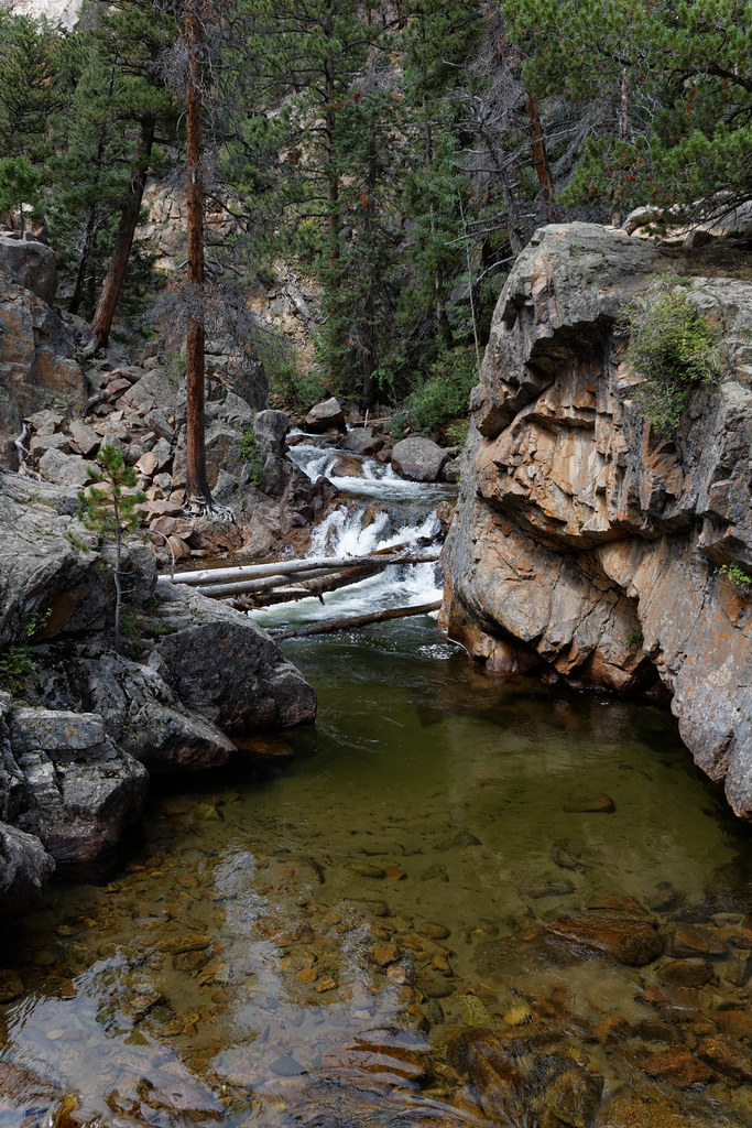 Cub Lake TrailHikingPhoto: KimonBerlin, CC BY-SA 2.0 (via Flickr)1.1 mi
 Rock Of AgesRock climbingPhoto: lamblukas, CC BY 2.0 (via Flickr)1.5 mi
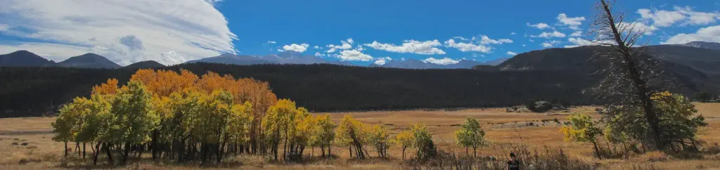 Rocky Mountain National Park Glacier Basin CampgroundCampingPhoto: Recreation.gov (RIDB) / public domain4.4 mi
Source: Roamze catalog (indexable pages within 10 miles, PostGIS distance)
Loomis Lake TrailHiking · ~2 min drivePhoto: KimonBerlin, CC BY-SA 2.0 (via Flickr)Cub Lake TrailHiking · ~2 min drivePhoto: KimonBerlin, CC BY-SA 2.0 (via Flickr) Flat Top Mountain TrailHiking · ~4 min drivePhoto: michaelwm25, CC BY 3.0 (via Wikimedia Commons)
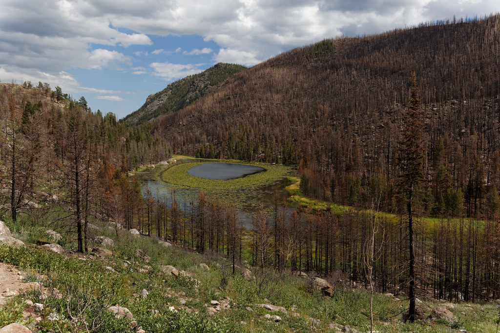 Cub Lake-Mill Creek Basin TrailHiking · ~3 min drivePhoto: KimonBerlin, CC BY-SA 2.0 (via Flickr)
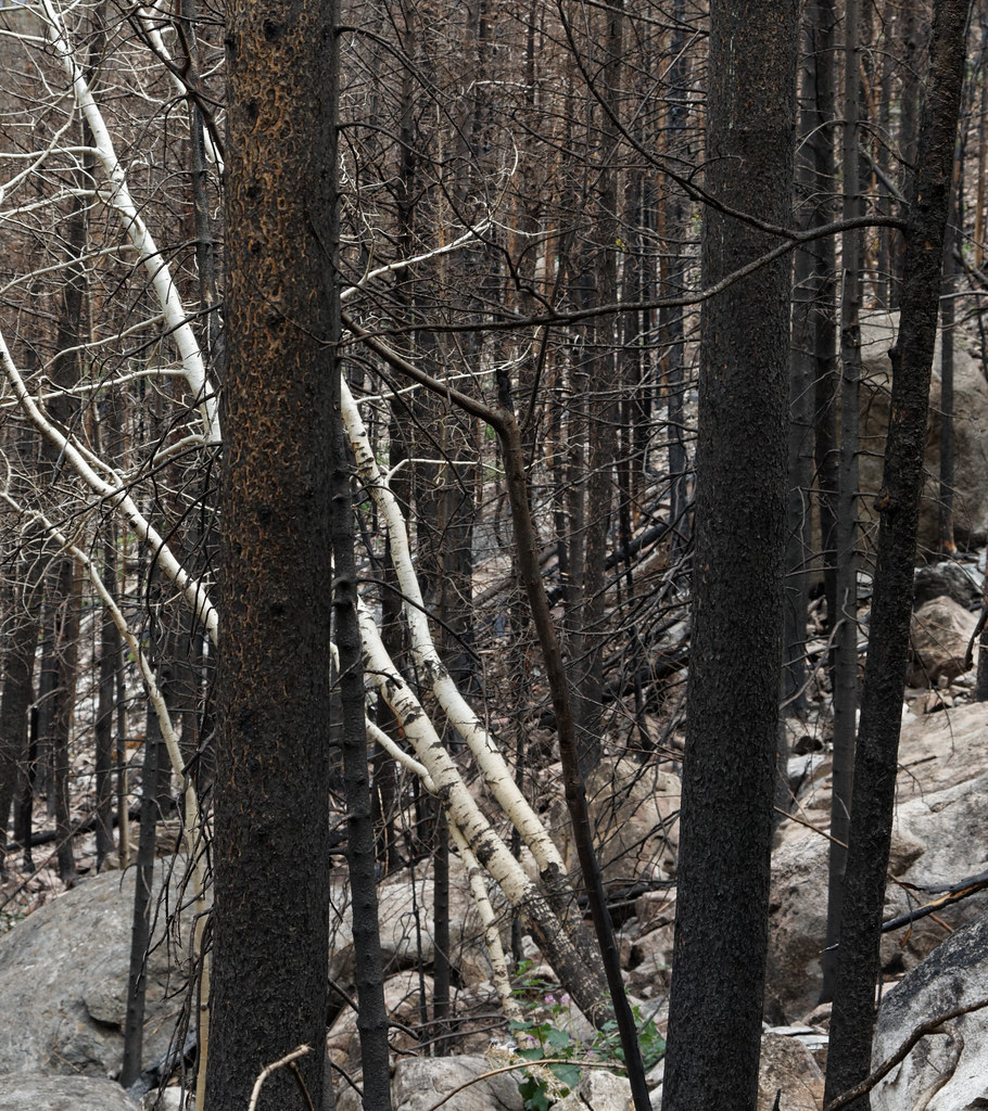 Cub Lake TrailHiking · ~2 min drivePhoto: KimonBerlin, CC BY-SA 2.0 (via Flickr)
 McHenrys PeakHiking · ~5 min drivePhoto: InSapphoWeTrust from Los Angeles, California, USA, CC BY-SA 2.0 (via Wikimedia Commons)
 Bear Lake-Bierstadt TrailHiking · ~4 min drivePhoto: calwolfe, CC BY-SA 3.0 (via Wikimedia Commons)
Also worth it near here
Fern Lake CampsiteCamping · Next doorPhoto: KimonBerlin — CC BY-SA 2.0 (via Flickr) Fern FallsWaterfall · ~1 min drivePhoto: KimonBerlin, CC BY-SA 2.0 (via Wikimedia Commons)Rock Of AgesRock climbing · ~3 min drivePhoto: lamblukas, CC BY 2.0 (via Flickr)
 Flattop MountainSummit · ~4 min drivePhoto: Brian & Jaclyn Drum from Chicago, Illinois, United States of America, CC BY 2.0 (via Wikimedia Commons)
Best months: June and September. Best months have typical highs of 55–85 °F, lows of 30 °F or warmer (32 °F where the station doesn't record snow), at most one snowy day and no more than 12 wet days.
Jan
31° / 11°
9 wet
Feb
33° / 10°
9 wet
Mar
40° / 15°
10 wet
Apr
45° / 20°
10 wet
May
55° / 28°
10 wet
Jun
68° / 36°
10 wet
Jul
74° / 43°
13 wet
Aug
72° / 41°
14 wet
Sep
65° / 34°
10 wet
Oct
51° / 25°
8 wet
Nov
39° / 18°
9 wet
Dec
31° / 11°
9 wet
Typical high / low (°F) and days with rain or snow, 1991–2020. Measured at Hourglass Rsvr, CO, 17 mi away at 9,520 ft. This station doesn't record snowfall. Source: NOAA NCEI U.S. Climate Normals 1991–2020.
Map and trail data © OpenStreetMap contributors
