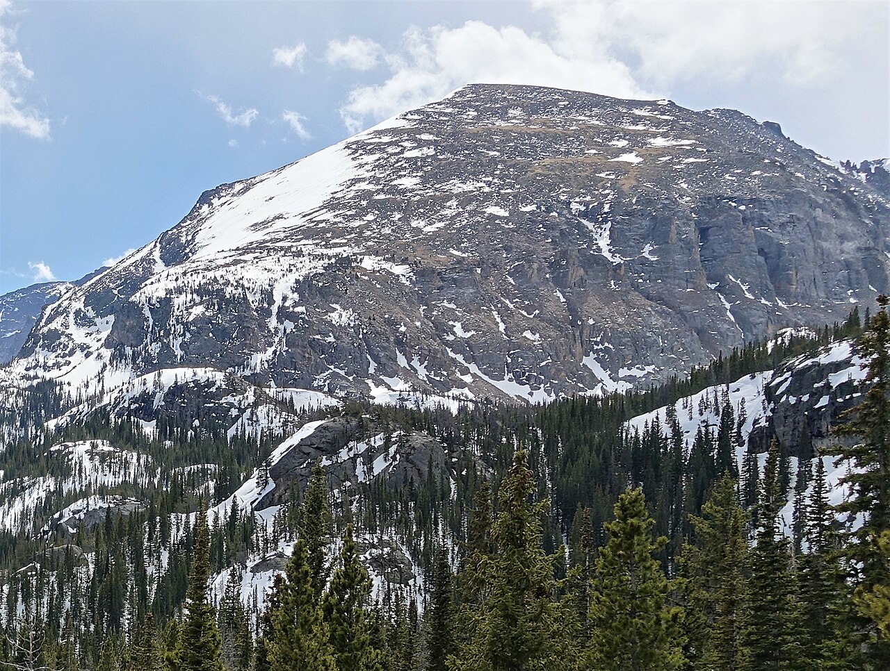
Glacier Gorge
Campground
Campground · 0.9 mi from the trail
Closure in the area
There's a closure order in Rocky Mountain National Park. It doesn't name Black Lake Trail, so check the source for the area it covers.
Trail Ridge Road Status Update
Park closure covering Rocky Mountain National Park · NPS · Rocky Mountain National Park
As of · Source: NPS · Rocky Mountain National Park. Agencies don't list every closure — check before you go.
Black Lake Trail is a 2.9-mile out-and-back hike located in Colorado, managed by the National Park Service. This trail offers an accessible option for hikers seeking a moderate day trip in the region. The out-and-back format means hikers will cover approximately 5.8 miles total distance, with 1.45 miles of hiking to reach Black Lake and the same distance to return. The trail provides opportunities to explore Colorado's natural landscape and reach an alpine or subalpine lake destination. As a National Park Service-managed trail, it maintains established maintenance standards and follows federal recreation guidelines. The relatively short distance makes it suitable for hikers with varying experience levels who want to visit Black Lake without committing to a full-day expedition. Hikers should plan accordingly for weather conditions and bring adequate water and supplies. While elevation gain information is not currently available, the 2.9-mile distance suggests this is a manageable hike for most visitors. The trail's popularity and accessibility make it a worthwhile destination for those exploring Colorado's outdoor recreation opportunities.
Glacier Gorge
Campground
Aspen Dining
Restaurant
 If it rainsMatt Golon, CC BY-SA 3.0 · Wikimedia Commons
Places © OpenStreetMap contributors · Photos: Matt Golon, CC BY-SA 3.0 (commons)
More in Estes ParkNot on Roamze yet. Their page has how to reach them.
Best months: June and September. Best months have typical highs of 55–85 °F, lows of 30 °F or warmer (32 °F where the station doesn't record snow), at most one snowy day and no more than 12 wet days.
Jan
29° / 12°
15 wet
Feb
28° / 11°
16 wet
Mar
36° / 17°
16 wet
Apr
40° / 22°
17 wet
May
50° / 29°
16 wet
Jun
62° / 36°
12 wet
Jul
68° / 43°
14 wet
Aug
66° / 41°
13 wet
Sep
59° / 34°
10 wet
Oct
47° / 26°
10 wet
Nov
35° / 19°
12 wet
Dec
28° / 12°
15 wet
Typical high / low (°F) and days with rain or snow, 1991–2020. Measured at Boulder 14 W, CO, 18.7 mi away at 9,828 ft. The station sits about 1,200 ft lower than this place, so expect it a little cooler here. This station doesn't record snowfall. Source: NOAA NCEI U.S. Climate Normals 1991–2020.
 Photo: F Delventhal from Outside Washington, D.C., US, CC BY 2.0 (via Wikimedia Commons)
Lake Haiyaha Trail
~1 min drive
1.62-mile out-and-back hike with 903 ft gain and 10,024 ft max elevation
Photo: F Delventhal from Outside Washington, D.C., US, CC BY 2.0 (via Wikimedia Commons)Lake Haiyaha Trail
~2 min drive
0.9 mi · Easy
 Photo: Juhele_CZ, Public Domain Dedication (CC0) (via Flickr)
Glacier Gorge Trail
~2 min drive
11 mi · Expert
HIKE
RMNP Shuttle Stop - Bierstadt Trailhead & Parking
~4 min drive
Bierstadt Lake Parking Area and Shuttle Stop are Temporarily Closed Until Further Notice for the Construction of a New Vault Toilet The Park & Ride Shuttle Stop is the closest stop to Bierstadt Trailhead on the Bear Lake Shuttle Route. Park & Ride is located 1.5 miles…
HIKE
Fern Lake Trail
~3 min drive
15 mi · Hard
 Photo: christinejwarner, CC BY 2.0 (via Flickr)
Andrews Glacier Trail
~2 min drive
1.98-mile out-and-back hike with 1,342 ft gain to 11,370 ft elevation in Colorado
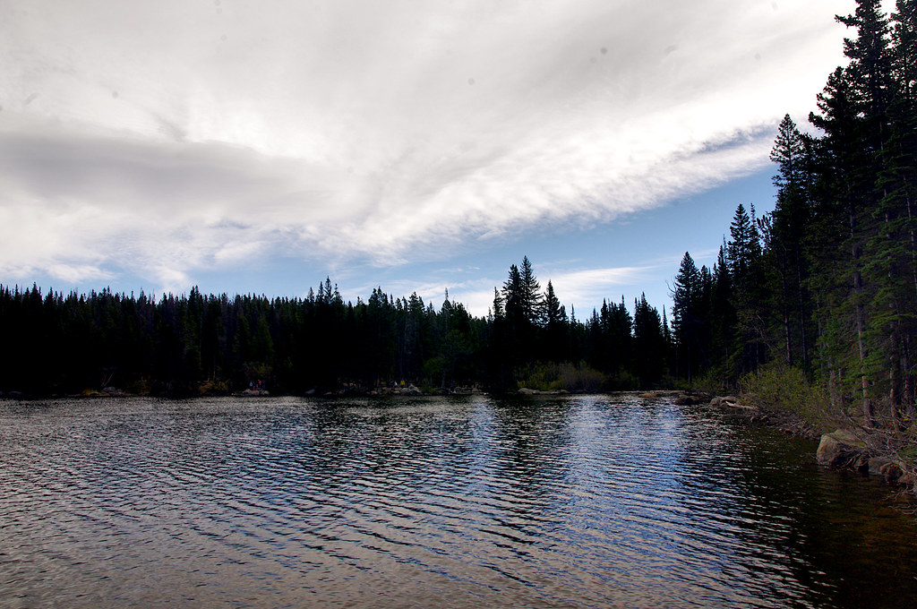 Photo: Juhele_CZ, Public Domain Dedication (CC0) (via Flickr)
Emerald Lake Trail
~2 min drive
3.1 mi · Easy
 Photo: InSapphoWeTrust from Los Angeles, California, USA, CC BY-SA 2.0 (via Wikimedia Commons)
Taylor Peak
~2 min drive
Route to the summit of Taylor Peak (13,143 ft) from Glacier Gorge Trailhead.
HIKE
Astronomy in the Park at Park & Ride
~6 min drive
Astronomy in the Park Join us on the east side of Rocky Mountain National Park at Park & Ride Parking Area for an evening under the stars. The program begins at 8:30 p.m. and ends at 11 p.m. Astronomy in the Park will take place on the following days: Friday, June 27 Friday…
HIKE
Storm Pass Trail
~7 min drive
5.90-mile trail in Colorado with 1,800 ft elevation gain and 11,200 ft max elevation.
Map and trail data © OpenStreetMap contributors