Sourdough Campsite
Campground
Campground · 1.2 mi from the trail
 Photo: michaelwm25, CC BY 3.0 (via Wikimedia Commons)
Closure in the area
There's a closure order in Rocky Mountain National Park. It doesn't name Flat Top Mountain Trail, so check the source for the area it covers.
Prescribed Fire Operations are Underway near Beaver Meadows Visitor Center
Park closure covering Rocky Mountain National Park · NPS · Rocky Mountain National Park
As of · Source: NPS · Rocky Mountain National Park. Agencies don't list every closure — check before you go.
Flat Top Mountain Trail is a 4.2-mile out-and-back hike located near Colorado in Colorado. This trail offers a straightforward route for hikers looking for a moderate day outing without significant technical challenges. The out-and-back format means hikers will retrace their steps on the return journey, making it easy to turn back at any point if needed. The relatively modest distance of 4.2 miles makes this accessible for a wide range of fitness levels, though actual difficulty will depend on terrain and elevation gain along the route. This trail is ideal for those seeking a less crowded hiking experience or looking to add a solid day hike to their Colorado adventure. The route provides an opportunity to explore the mountain landscape characteristic of the region while maintaining a manageable commitment of time and effort. Whether you're a local looking for a nearby escape or a visitor exploring Colorado's outdoor offerings, Flat Top Mountain Trail presents a straightforward hiking option that doesn't require extensive preparation or specialized equipment.
Sourdough Campsite
Campground
Aspen Dining
Restaurant
 If it rainsMatt Golon, CC BY-SA 3.0 · Wikimedia Commons
Places © OpenStreetMap contributors · Photos: Matt Golon, CC BY-SA 3.0 (commons)
More in Estes ParkNot on Roamze yet. Their page has how to reach them.
 Photo: F Delventhal from Outside Washington, D.C., US, CC BY 2.0 (via Wikimedia Commons)
Lake Haiyaha Trail
~3 min drive
0.9 mi · Easy
Photo: F Delventhal from Outside Washington, D.C., US, CC BY 2.0 (via Wikimedia Commons)Lake Haiyaha Trail
~3 min drive
1.62-mile out-and-back hike with 903 ft gain and 10,024 ft max elevation
 Photo: Juhele_CZ, Public Domain Dedication (CC0) (via Flickr)
Glacier Gorge Trail
~4 min drive
11 mi · Expert
HIKE
RMNP Shuttle Stop - Bierstadt Trailhead & Parking
~6 min drive
Bierstadt Lake Parking Area and Shuttle Stop are Temporarily Closed Until Further Notice for the Construction of a New Vault Toilet The Park & Ride Shuttle Stop is the closest stop to Bierstadt Trailhead on the Bear Lake Shuttle Route. Park & Ride is located 1.5 miles…
HIKE
Fern Lake Trail
~3 min drive
15 mi · Hard
 Photo: KimonBerlin, CC BY-SA 2.0 (via Flickr)
Loomis Lake Trail
~4 min drive
1.28-mile out-and-back hike to Loomis Lake in Colorado with 722 ft of elevation gain.
 Photo: christinejwarner, CC BY 2.0 (via Flickr)
Andrews Glacier Trail
~3 min drive
1.98-mile out-and-back hike with 1,342 ft gain to 11,370 ft elevation in Colorado
Photo: Juhele_CZ, Public Domain Dedication (CC0) (via Flickr)Chiefs Head Peak
~5 min drive
Route to the summit of Chiefs Head Peak (13,520 ft) from Glacier Gorge Trailhead.
HIKE
Black Lake Trail
~4 min drive
5.8 mi · Hard
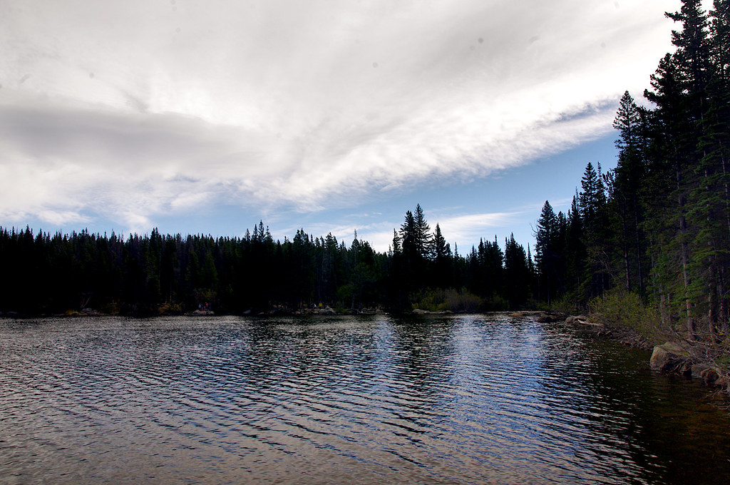 Photo: Juhele_CZ, Public Domain Dedication (CC0) (via Flickr)
Bear Lake Loop Trail
~4 min drive
0.64-mile loop trail in Colorado with 11 ft of elevation gain.
Also worth it near here
 Photo: Brian & Jaclyn Drum from Chicago, Illinois, United States of America, CC BY 2.0 (via Wikimedia Commons)
Flattop Mountain
Next door
 Photo: Michael Murphy, CC BY 2.0 (via Wikimedia Commons)
Hallett Peak
Next door
 Photo: KimonBerlin — CC BY-SA 2.0 (via Flickr)
Fern Lake Campsite
~4 min drive
SEE
Bear Lake
~4 min drive
Park at Bear Lake Trailhead.
About 8.5 mi round trip from Bear Lake Trailhead (about 12,316 ft).
About 5,303 ft of climbing round trip.
It is rated expert.
Bear Lake Trailhead (about 12,316 ft).
Daily highs and lows, wind and the chance of precipitation at the summit and route start for the next 7 days, from the Open-Meteo model.
Map and trail data © OpenStreetMap contributors
