Big Meadows Campground
Campground
Campground · 2.5 mi from the trail
Road closed
US 160: Wolf Creek Pass is listed as closed by CDOT 511.
US 160: Wolf Creek Pass
Closed · ~4.8 km from South Fork Archuleta · CDOT 511
Closures and dangerous conditions on roads, bridges, and trails from flooding
Agency closure covering Rio Grande National Forest · USFS · Rio Grande National Forest
As of · Source: CDOT 511. Agencies don't list every closure — check before you go.
South Fork Archuleta is a 7.1-mile out-and-back hike in the Weminuche Wilderness, part of the Divide Ranger District of the Rio Grande National Forest in Colorado. The trail climbs from about 10,344 feet to about 11,383 feet, a gain of 1,321 feet, and is rated hard. The Forest Service manages the land, and the route is on natural surface. Horses are allowed, but bikes are not. The trip is open year-round, and the surrounding area offers several other options within a few miles. Archuleta is about a mile away, and Spruce Lake is about 2.2 miles off. Big Meadows Campground and the Big Meadows Reservoir Boating Site are both within about 2.5 miles.
Big Meadows Campground
Campground
Ramon's Mexican Restaurant
Restaurant
Quiller Gallery
Gallery
Places © OpenStreetMap contributors
More in South ForkNot on Roamze yet. Their page has how to reach them.
 ArchuletaHikingPhoto: JustTooLazy, CC BY 2.0 (via Flickr)1 mi
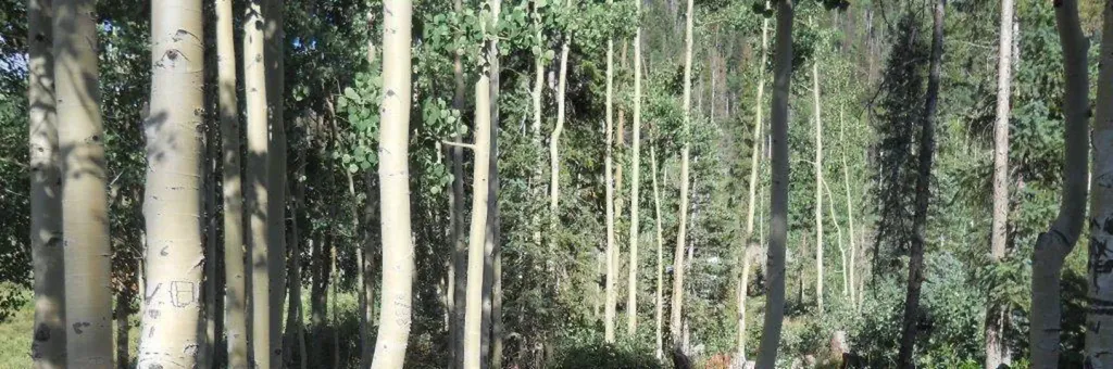 Big Meadows Reservoir Campground (South Central CO)CampingPhoto: Recreation.gov (RIDB) / public domain2.6 mi
 South Fork Rio GrandeCanoeingPhoto: Jeffrey Beall, CC BY 3.0 (via Wikimedia Commons)3 mi
Source: Roamze catalog (indexable pages within 10 miles, PostGIS distance)
ArchuletaHiking · ~2 min drivePhoto: JustTooLazy, CC BY 2.0 (via Flickr) Big Meadows LoopHiking · ~4 min drivePhoto: JustTooLazy, CC BY 2.0 (via Flickr)
 HighlineHiking · ~11 min drivePhoto: cogdogblog, Public Domain Dedication (CC0) (via Flickr)
 LoboHiking · ~5 min drivePhoto: Corey Leopold, CC BY 2.0 (via Flickr)
 Windy PassHiking · ~12 min drivePhoto: Dicklyon, CC BY-SA 4.0 (via Wikimedia Commons)
 Hunters LakeHiking · ~10 min drivePhoto: cogdogblog, Public Domain Dedication (CC0) (via Flickr)
 DeckerHiking · ~16 min drivePhoto: notbitmonk, CC BY 2.0 (via Flickr)
