Flying Saucer RV Park
Campground
Campground · 6.6 mi from the trail
 Photo: easy4444, CC BY 3.0 (via Wikimedia Commons)
Sloan's Lake Park Perimeter Trail is a short, easy hike within Sloan's Lake Park in Colorado, on land under joint management. The route runs 0.33 miles one way, making for a 0.66-mile out-and-back walk. The terrain is flat throughout. Expect about 15 feet of climbing one way, or roughly 25 feet over the full round trip, with the path staying between about 5,320 and 5,330 feet. With no steep sections to speak of, it suits a quick stroll or an easy add-on to a longer outing. Late spring and early fall are the most comfortable times to go. Typical averages from a nearby weather station in Denver show May highs around 73°F with lows near 46°F, and September highs around 82°F with lows near 51°F, while July and August typically climb into the 90s. The adjacent Sloan's Lake Trail starts just 0.2 miles away. Mountain bikers can find the Rocky Mountain Ditch Trail and W Line Trail within about half a mile, and the Downtown Denver climbing area sits roughly 2.7 miles off.
Flying Saucer RV Park
Campground
 If it rainsJessicaSmithCO, CC BY 4.0 · Wikimedia Commons
Denver Museum of Miniatures, Dolls & Toys
Museum
Toy museum in Denver, Colorado
Places © OpenStreetMap contributors, Places © Overture Maps Foundation · Photos: JessicaSmithCO, CC BY 4.0 (commons)
More in Idaho SpringsNot on Roamze yet. Their page has how to reach them.
Sloan's Lake TrailHikingPhoto: easy4444, CC BY 3.0 (via Wikimedia Commons)0.2 miSource: Roamze catalog (indexable pages within 10 miles, PostGIS distance)
Sloan's Lake TrailHiking · Next doorPhoto: easy4444, CC BY 3.0 (via Wikimedia Commons)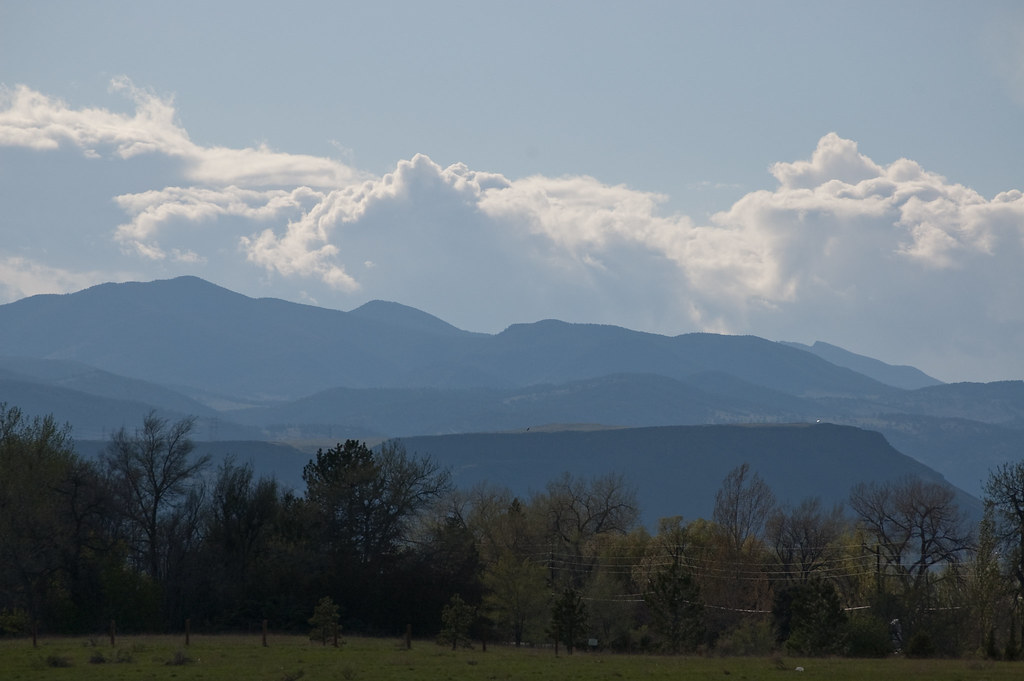 Outer Loop TrailHiking · ~5 min drivePhoto: Ben Mason, CC BY 2.0 (via Flickr)Outer Loop TrailHiking · ~5 min drivePhoto: Ben Mason, CC BY 2.0 (via Flickr)
 Rocky Mountain Lake TrailHiking · ~5 min drivePhoto: R. W. Rynerson, CC BY 2.0 (via Flickr)
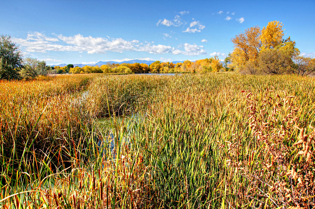 Trail No. 93Hiking · ~5 min drivePhoto: Michael Kirsh, CC BY-SA 2.0 (via Flickr)Kestrel Pond TrailHiking · ~5 min drivePhoto: Michael Kirsh, CC BY-SA 2.0 (via Flickr)Trail No. 96Hiking · ~5 min drivePhoto: Michael Kirsh, CC BY-SA 2.0 (via Flickr)
 Johnson to Anderson Park Foot PathHiking · ~6 min drivePhoto: ToGa Wanderings, CC BY 2.0 (via Flickr)Johnson to Anderson Park Loop, Clear CreekHiking · ~6 min drivePhoto: ToGa Wanderings, CC BY 2.0 (via Flickr)
 Ruby Hill Loop TrailHiking · ~8 min drivePhoto: jjes84, CC BY 2.0 (via Flickr)
Best months: April–June and September–October. Best months have typical highs of 55–85 °F, lows of 30 °F or warmer (32 °F where the station doesn't record snow), at most one snowy day and no more than 12 wet days.
Jan
49° / 21°
4 wet
Feb
49° / 22°
4 wet
Mar
58° / 30°
6 wet
Apr
64° / 36°
8 wet
May
73° / 46°
10 wet
Jun
85° / 56°
8 wet
Jul
91° / 62°
8 wet
Aug
90° / 60°
8 wet
Sep
82° / 51°
7 wet
Oct
68° / 38°
6 wet
Nov
56° / 28°
4 wet
Dec
47° / 21°
4 wet
Typical high / low (°F) and days with rain or snow, 1991–2020. Measured at Denver Water Dept, CO, 2.4 mi away at 5,228 ft. This station doesn't record snowfall. Source: NOAA NCEI U.S. Climate Normals 1991–2020.
Map and trail data © OpenStreetMap contributors

