Ruby Hill Loop Trail
 Photo: jjes84, CC BY 2.0 (via Flickr)
- 1.6 mi
- distance
- 200 ft
- climb
- 5,400 ft
- high point
- Easy
- difficulty
- Apr–Jun, Sep–Oct
- best months
Ruby Hill Loop Trail is a 1.6-mile loop in Ruby Hill Park in Colorado, managed by a joint agency. The trail is rated easy, with a total elevation gain of 200 feet, and the high point on the route sits at about 5,400 feet. For comfortable weather, aim for late spring or early fall. Typical averages from a nearby weather station show May highs around 73°F and September highs around 82°F, while July and August average about 90°F. Garfield Lake Park Trail is about 1.9 miles away, and Smith Lake Loop is about 2.4 miles away. For an overnight stay, Flying Saucer RV Park is about 2.2 miles off, and the Platte River Trail is about 3 miles away.
Local outfitters
- Camp Always Choose Adventures31 mi away
- Lostfork Basecamp38 mi away
Not on Roamze yet. Their page has how to reach them.
Conditions and forecast on Ruby Hill
Daily highs and lows, wind and the chance of precipitation at the summit and route start for the next 7 days, from the Open-Meteo model.
- Garfield Lake Park TrailHiking1.9 mi
- Flying Saucer RV ParkCamping2.2 mi
- DU Campus Bouldering/BuilderingRock climbing2.2 mi
- Smith Lake LoopHiking2.4 mi
- Platte River TrailMountain biking3 mi
- Downtown DenverRock climbing4.8 mi
- Private OwnerCamping5.6 mi
- Denver Metropolitan Area Bouldering and BuilderingRock climbing6.6 mi
Source: Roamze catalog (indexable pages within 10 miles, PostGIS distance)
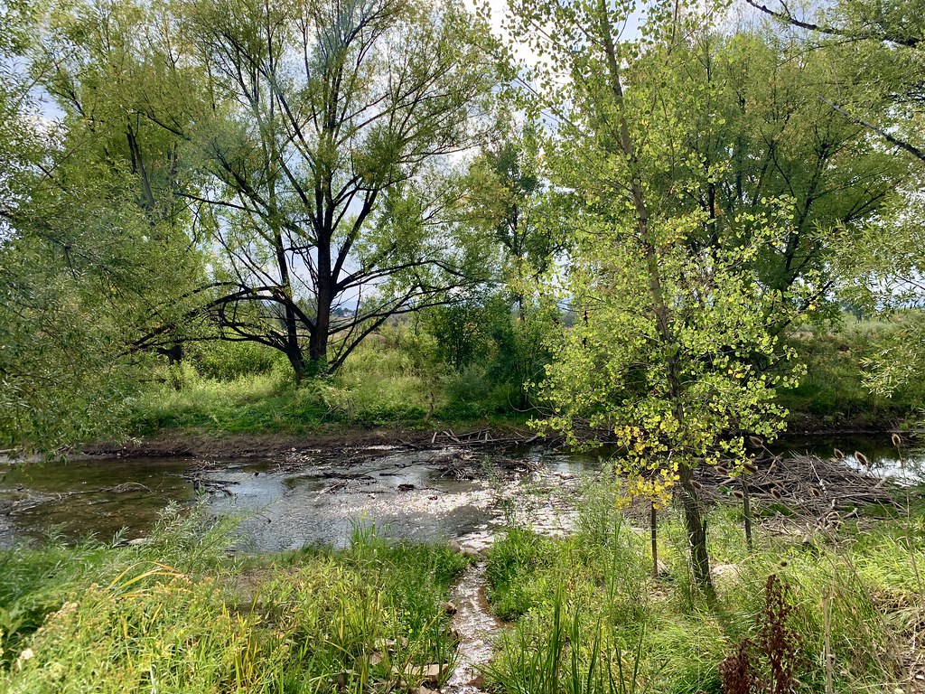 Paved LoopHiking · ~7 min drivePhoto: jjes84, CC BY 2.0 (via Flickr)
- East LoopHiking · ~7 min drivePhoto: jjes84, CC BY 2.0 (via Flickr)
 Sloan's Lake Park Perimeter TrailHiking · ~8 min drivePhoto: easy4444, CC BY 3.0 (via Wikimedia Commons)
- Sloan's Lake TrailHiking · ~9 min drivePhoto: easy4444, CC BY 3.0 (via Wikimedia Commons)
 City Park Lake LoopHiking · ~9 min drivePhoto: jjes84, CC BY 2.0 (via Flickr)
 Rocky Mountain Lake TrailHiking · ~12 min drivePhoto: R. W. Rynerson, CC BY 2.0 (via Flickr)
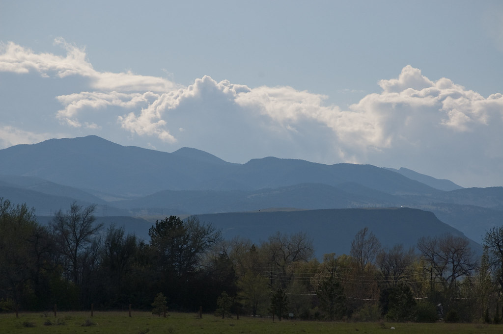 Outer Loop TrailHiking · ~12 min drivePhoto: Ben Mason, CC BY 2.0 (via Flickr)
- Outer Loop TrailHiking · ~12 min drivePhoto: Ben Mason, CC BY 2.0 (via Flickr)
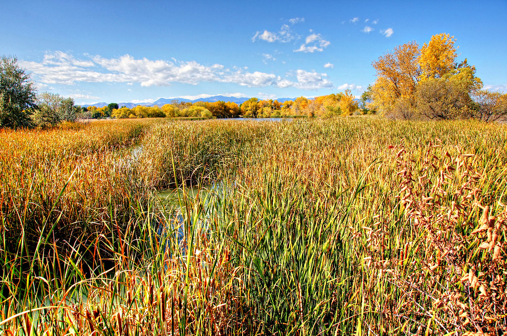 Trail No. 93Hiking · ~13 min drivePhoto: Michael Kirsh, CC BY-SA 2.0 (via Flickr)
- Kestrel Pond TrailHiking · ~13 min drivePhoto: Michael Kirsh, CC BY-SA 2.0 (via Flickr)
Best time to visit Ruby Hill Loop Trail
Best months: April–June and September–October. Best months have typical highs of 55–85 °F, lows of 30 °F or warmer (32 °F where the station doesn't record snow), at most one snowy day and no more than 12 wet days.
Jan
49° / 21°
4 wet
Feb
49° / 22°
4 wet
Mar
58° / 30°
6 wet
Apr
64° / 36°
8 wet
May
73° / 46°
10 wet
Jun
85° / 56°
8 wet
Jul
91° / 62°
8 wet
Aug
90° / 60°
8 wet
Sep
82° / 51°
7 wet
Oct
68° / 38°
6 wet
Nov
56° / 28°
4 wet
Dec
47° / 21°
4 wet
Typical high / low (°F) and days with rain or snow, 1991–2020. Measured at Denver Water Dept, CO, 3.2 mi away at 5,228 ft. This station doesn't record snowfall. Source: NOAA NCEI U.S. Climate Normals 1991–2020.
Route details
- Distance
- 1.6 mi
- Climbing
- About 200 ft
- Summit
- 5,395 ft
- Difficulty
- Easy
- Time
- About 0.5 hours
Hazards
- Urban wildlife
- Cyclists
- Uneven terrain
- Winter ice
Season
Season: Spring, summer, fall, winter.
Accessible year-round with occasional snow and ice in winter; spring and fall offer the most comfortable temperatures.
Questions about this route
How long is the Ruby Hill Loop Trail on Ruby Hill?
About 1.6 mi.
How much elevation gain is on the Ruby Hill Loop Trail?
About 200 ft of climbing round trip.
How hard is the Ruby Hill Loop Trail?
It is rated easy.
How long does the Ruby Hill Loop Trail take?
About 0.5 hours round trip.
When is the best time for the Ruby Hill Loop Trail?
Spring, summer, fall, winter.
Map and trail data © OpenStreetMap contributors
