Tipi Village
Campground
Campground · 6.9 mi from the trail
 Photo: ToGa Wanderings, CC BY 2.0 (via Flickr)
Johnson to Anderson Park Foot Path is an easy, short out-and-back hike in Colorado, sitting about 0.2 miles from the town of Hillcrest Heights. The trail is roughly 0.94 miles long, with a low point of 5,316 feet and a high point of 5,357 feet, so it's a gentle walk over a slight rise, and you can expect to spend about half an hour on the route. The climb is steady, with the steepest stretch around the 0.32-mile mark at a 2% grade. The one-way elevation gain is 96 feet, and the round trip adds up to about 185 feet. That makes it a quick stop for a short outing. The most comfortable months for a visit are typically late spring and early fall. At a nearby weather station in Wheat Ridge, typical averages run from highs around 71°F with lows near 43°F in May to highs around 79°F with lows near 45°F in September. July is the warmest month, with typical highs near 88°F. Close by, the Kipling Crossing Loop, Iris St to Moore St, Clear Creek is about a mile away, and Trail No. 96 and Trail No. 93 are both within about 1.6 miles. For climbers, Downtown Denver lies about 5.2 miles off.
Tipi Village
Campground
 If it rainsClyde Charles Brown, CC BY-SA 4.0 · Wikimedia Commons
Places © OpenStreetMap contributors, Places © Overture Maps Foundation · Photos: Clyde Charles Brown, CC BY-SA 4.0 (commons)
More in Idaho SpringsNot on Roamze yet. Their page has how to reach them.
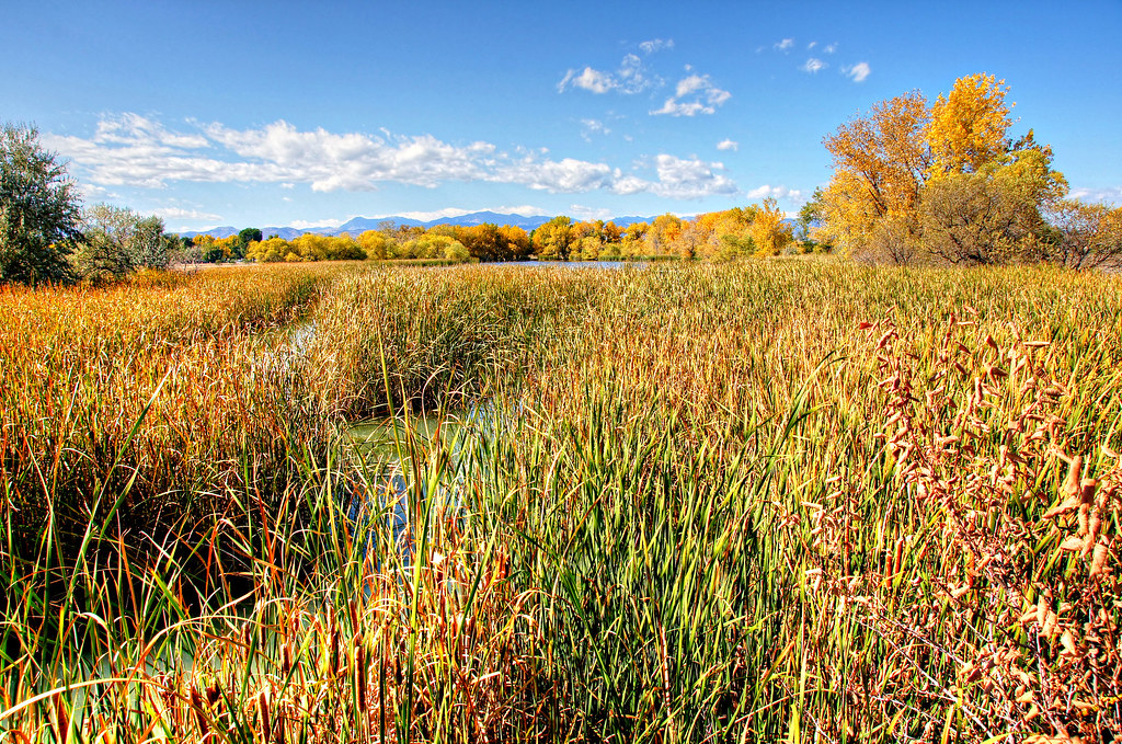 Trail No. 96HikingPhoto: Michael Kirsh, CC BY-SA 2.0 (via Flickr)1.5 miTrail No. 93HikingPhoto: Michael Kirsh, CC BY-SA 2.0 (via Flickr)1.6 mi
 The East QuarryRock climbingPhoto: ShanMcG213, CC BY-SA 2.0 (via Flickr)6.1 mi
 Tipi VillageCampingPhoto: Jeffrey Beall, CC BY 3.0 (via Wikimedia Commons)6.9 mi
Source: Roamze catalog (indexable pages within 10 miles, PostGIS distance)
Johnson to Anderson Park Loop, Clear CreekHiking · Next doorPhoto: ToGa Wanderings, CC BY 2.0 (via Flickr)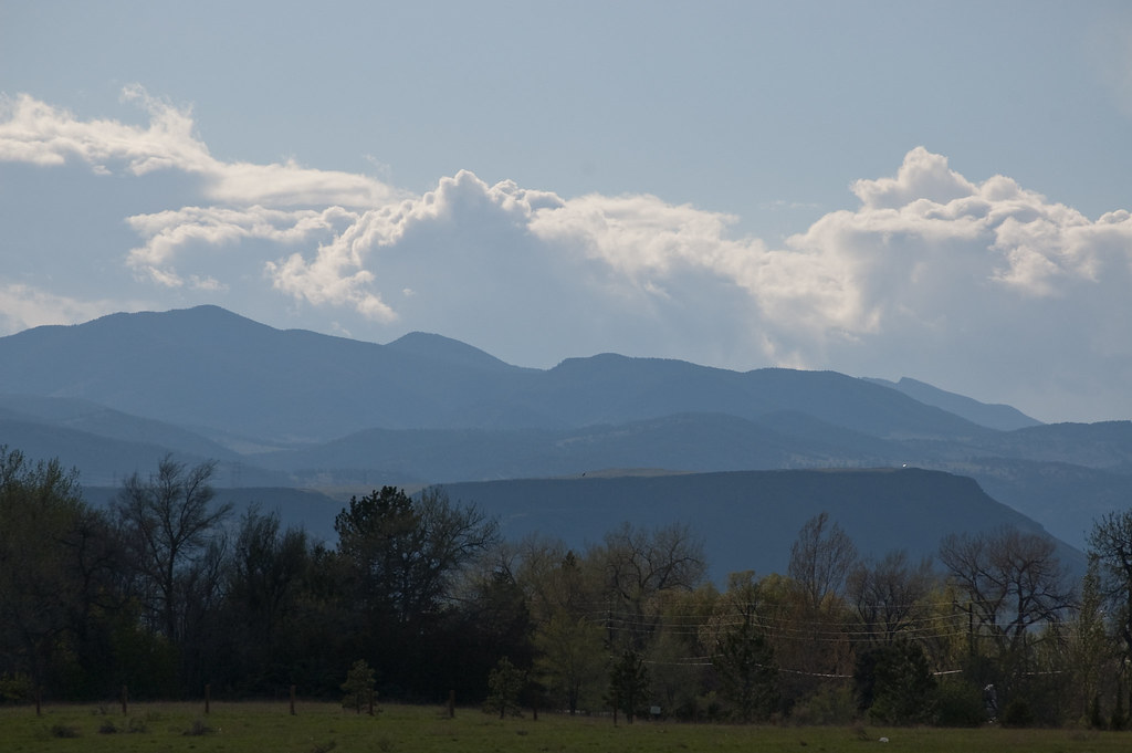 Outer Loop TrailHiking · ~2 min drivePhoto: Ben Mason, CC BY 2.0 (via Flickr)Trail No. 96Hiking · ~3 min drivePhoto: Michael Kirsh, CC BY-SA 2.0 (via Flickr)Trail No. 93Hiking · ~3 min drivePhoto: Michael Kirsh, CC BY-SA 2.0 (via Flickr)Kestrel Pond TrailHiking · ~3 min drivePhoto: Michael Kirsh, CC BY-SA 2.0 (via Flickr)Outer Loop TrailHiking · ~3 min drivePhoto: Ben Mason, CC BY 2.0 (via Flickr)
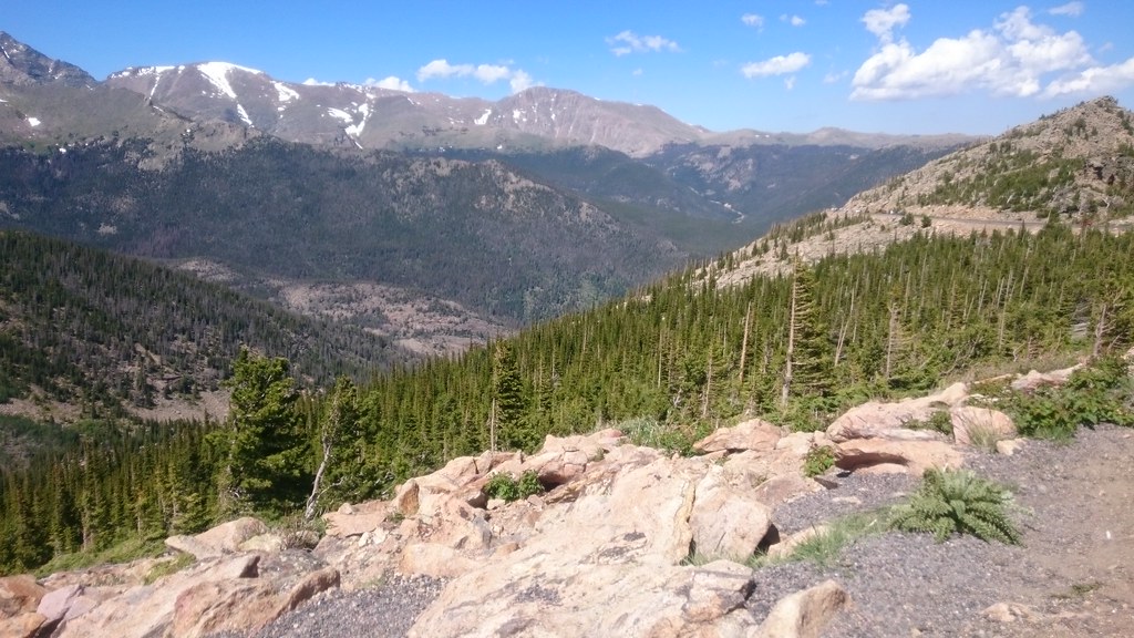 Van Bibber Creek TrailHiking · ~5 min drivePhoto: Maria Vorontsova, Public Domain Dedication (CC0) (via Flickr)Van Bibber Park Outer Loop TrailHiking · ~5 min drivePhoto: Maria Vorontsova, Public Domain Dedication (CC0) (via Flickr)Van Bibber Park Outer Loop TrailHiking · ~5 min drivePhoto: Maria Vorontsova, Public Domain Dedication (CC0) (via Flickr)
 Rocky Mountain Lake TrailHiking · ~5 min drivePhoto: R. W. Rynerson, CC BY 2.0 (via Flickr)
Best months: April–June and September–October. Best months have typical highs of 55–85 °F, lows of 30 °F or warmer (32 °F where the station doesn't record snow), at most one snowy day and no more than 12 wet days.
Jan
47° / 17°
5 wet
Feb
48° / 18°
6 wet
Mar
57° / 26°
7 wet
Apr
62° / 33°
9 wet
May
71° / 43°
10 wet
Jun
83° / 51°
9 wet
Jul
88° / 57°
9 wet
Aug
86° / 54°
8 wet
Sep
79° / 45°
7 wet
Oct
66° / 34°
6 wet
Nov
55° / 24°
6 wet
Dec
47° / 17°
5 wet
Typical high / low (°F) and days with rain or snow, 1991–2020. Measured at Wheat Ridge 2, CO, 1.5 mi away at 5,398 ft. This station doesn't record snowfall. Source: NOAA NCEI U.S. Climate Normals 1991–2020.
Map and trail data © OpenStreetMap contributors

