Winfield Trailhead
Campground
Campground · 2.4 mi from the trail
Caution today
Agency alerts are in effect for this area; weather is marginal · USFS, OpenWeather · checked 8 h ago
Closure in the area
There's a closure order in Leadville Ranger District. It doesn't name Silver Basin, so check the source for the area it covers.
Willow Fire Area Closure
Agency closure covering Leadville Ranger District · Order 02-12-01-26-39 · USFS · Leadville Ranger District
FSR 286, Radical Hill, is closed due to washouts and unsafe conditions
Agency alert covering Pike and San Isabel National Forests · USFS · Pike and San Isabel National Forests
Interlaken Hotel and Annex Area closure
Agency alert covering Leadville Ranger District · Order 02-12-01-26-19 · USFS · Leadville Ranger District
Interlaken Hotel Tree Hazards
Agency alert covering Pike and San Isabel National Forests · USFS · Pike and San Isabel National Forests
Sharpe Fire Update
Agency alert covering Pike and San Isabel National Forests · USFS · Pike and San Isabel National Forests
As of · Source: USFS · Leadville Ranger District. Agencies don't list every closure — check before you go.
Silver Basin is a 3-mile out-and-back hike in Colorado's Collegiate Peaks Wilderness, within the Leadville Ranger District of the Pike and San Isabel National Forests. The trail rises from about 10,680 feet to 11,236 feet, a climb of 558 feet, and is managed by the Forest Service. The route is rated hard, and the trail surface is natural. Horses are allowed, but bikes are not. The trailhead is called Silver Basin Trailhead, and the hike is open year-round. Summer is the most comfortable time to go. Typical averages from a nearby weather station at Leadville, which sits about 1,300 feet lower, show July highs around 71°F with lows near 39°F. That station's July is also the wettest month of the year, with about 12 wet days. Huron Peak lies just 0.4 miles away, and North Huron is 0.9 miles off. The Main Buttress climbing area is about 1.7 miles away, and Winfield Trailhead offers camping about 2.4 miles from the trail.
Winfield Trailhead
Campground
 If it rainsLongled, CC BY-SA 3.0 · Wikimedia Commons
Historic frontier synagogue building
Places © OpenStreetMap contributors, Places © Overture Maps Foundation · Photos: Longled, CC BY-SA 3.0 (commons)
More in Leadville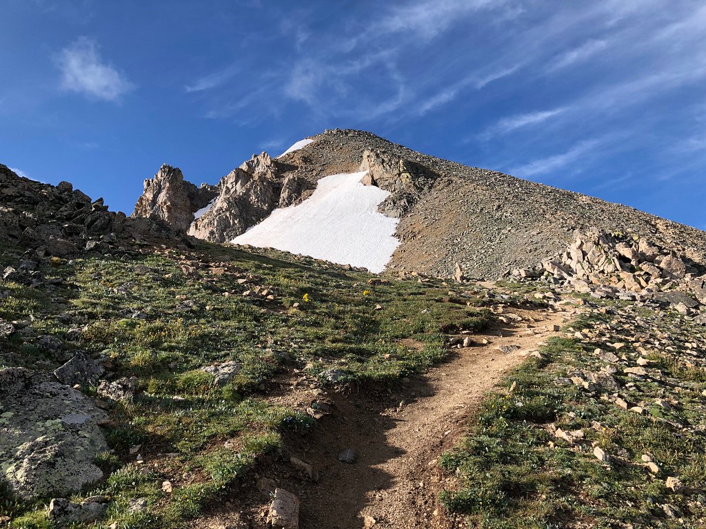 North HuronHikingPhoto: supercraigtalbert, CC BY 2.0 (via Flickr)0.9 mi
Source: Roamze catalog (indexable pages within 10 miles, PostGIS distance)
North HuronHiking · ~2 min drivePhoto: supercraigtalbert, CC BY 2.0 (via Flickr)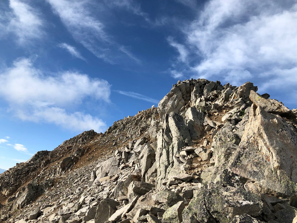 Three ApostlesHiking · ~2 min drivePhoto: supercraigtalbert, CC BY 2.0 (via Flickr)
 Mt. Huron Trail 1507Hiking · ~5 min drivePhoto: jl_2, CC BY-SA 2.0 (via Flickr)
 Missouri MtnHiking · ~8 min drivePhoto: Mark Crockett, CC BY 3.0 (via Wikimedia Commons)
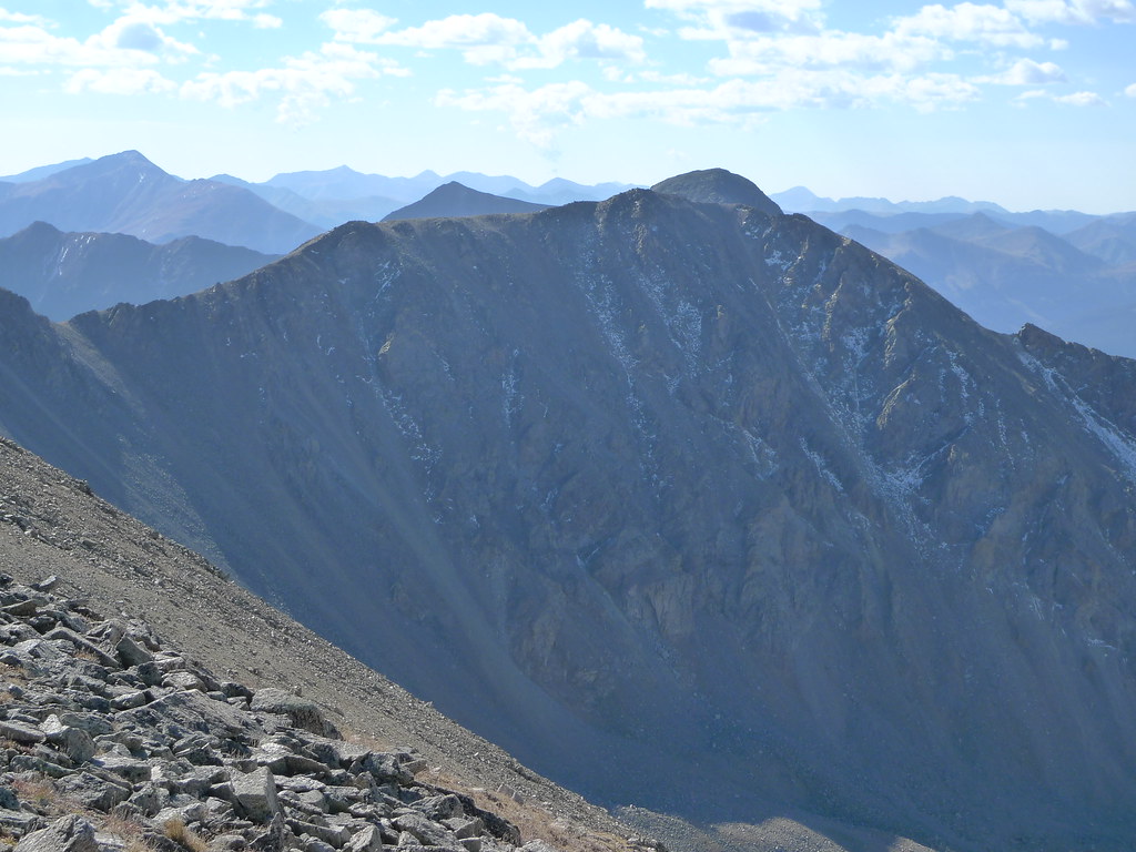 Missouri Mtn - Clohseys LakeHiking · ~6 min drivePhoto: jl_2, CC BY-SA 2.0 (via Flickr)
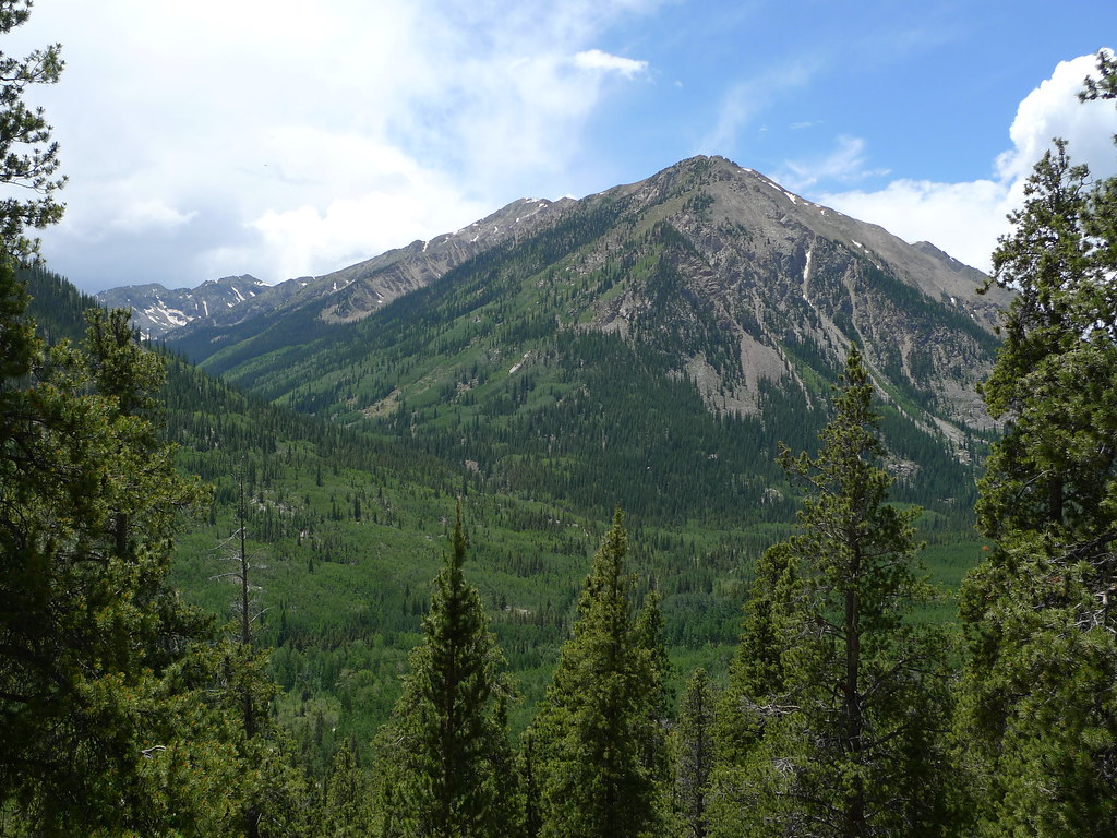 Mount HopeHiking · ~7 min drivePhoto: jl_2, CC BY-SA 2.0 (via Flickr)Mt. Belford - Missouri GulchHiking · ~9 min drivePhoto: Mark Crockett, CC BY 3.0 (via Wikimedia Commons)Quail MountainHiking · ~7 min drivePhoto: jl_2, CC BY-SA 2.0 (via Flickr)
Also worth it near here
 Winfield PeakSummit · ~3 min drivePhoto: Danielc192, CC BY-SA 3.0 (via Wikimedia Commons)
 Missouri Mountain Northface Couloirs (Snow)Ski touring · ~8 min drivePhoto: xpda, CC BY-SA 4.0 (via Wikimedia Commons)
Best months: June–July and September. Best months have typical highs of 55–85 °F, lows of 30 °F or warmer (32 °F where the station doesn't record snow), at most one snowy day and no more than 12 wet days.
Jan
30° / 5°
10 wet
Feb
31° / 6°
10 wet
Mar
37° / 12°
11 wet
Apr
43° / 19°
11 wet
May
54° / 27°
9 wet
Jun
66° / 34°
7 wet
Jul
71° / 39°
12 wet
Aug
68° / 38°
13 wet
Sep
61° / 32°
9 wet
Oct
50° / 24°
8 wet
Nov
37° / 13°
9 wet
Dec
29° / 5°
10 wet
Typical high / low (°F) and days with rain or snow, 1991–2020. Measured at Leadville Lake Co Ap, CO, 20.4 mi away at 9,932 ft. The station sits about 1,300 ft lower than this place, so expect it a little cooler here. This station doesn't record snowfall. Source: NOAA NCEI U.S. Climate Normals 1991–2020.
