Stage Stop Meadows Dispersed Camping Area
Campground
Campground · 4.4 mi from the trail
Closure in the area
There's a closure order in Grand Mesa, Uncompahgre and Gunnison National Forests. It doesn't name Lunch Lake Trail, so check the source for the area it covers (2 listed).
Gold Mountain Wildfire Roads and Trails Closure Order v 4.0
Agency closure covering Grand Mesa, Uncompahgre and Gunnison National Forests · USFS · Grand Mesa, Uncompahgre and Gunnison National Forests
Ophir Pass Road Closure
Agency closure covering Grand Mesa, Uncompahgre and Gunnison National Forests · USFS · Grand Mesa, Uncompahgre and Gunnison National Forests
Potter Basin Road Closure Order
Agency alert covering Grand Mesa, Uncompahgre and Gunnison National Forests · USFS · Grand Mesa, Uncompahgre and Gunnison National Forests
Beaver Park Road Closure Order
Agency alert covering Grand Mesa, Uncompahgre and Gunnison National Forests · USFS · Grand Mesa, Uncompahgre and Gunnison National Forests
TERMINATION OF ORDER - FIRE RESTRICTIONS
Agency alert covering Grand Mesa, Uncompahgre and Gunnison National Forests · USFS · Grand Mesa, Uncompahgre and Gunnison National Forests
As of · Source: USFS · Grand Mesa, Uncompahgre and Gunnison National Forests. Agencies don't list every closure — check before you go.
Lunch Lake is a 1.04-mile out-and-back trail in Colorado with 356 feet of elevation gain and loss. The route reaches a maximum elevation of 11,134 feet.
Stage Stop Meadows Dispersed Camping Area
Campground
Waunita Pass
Viewpoint
Places © OpenStreetMap contributors, Places © Overture Maps Foundation
More in Pitkin Mt. Huron Trail 1507Hiking · ~9 min drivePhoto: jl_2, CC BY-SA 2.0 (via Flickr)
 Missouri MtnHiking · ~11 min drivePhoto: Mark Crockett, CC BY 3.0 (via Wikimedia Commons)
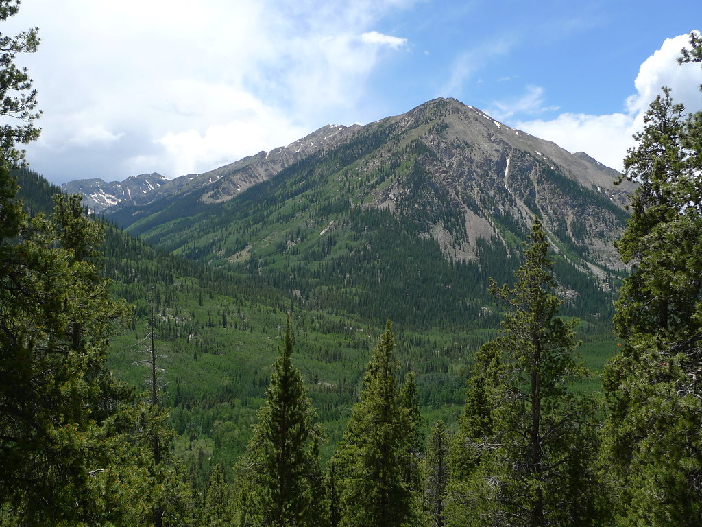 Quail MountainHiking · ~13 min drivePhoto: jl_2, CC BY-SA 2.0 (via Flickr)
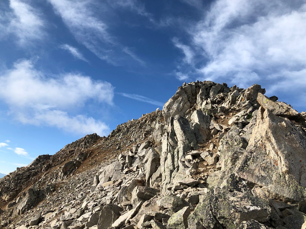 Three ApostlesHiking · ~5 min drivePhoto: supercraigtalbert, CC BY 2.0 (via Flickr)Mount HopeHiking · ~13 min drivePhoto: jl_2, CC BY-SA 2.0 (via Flickr)
 Lost LakeHiking · ~14 min drivePhoto: roy.luck, CC BY 2.0 (via Flickr)
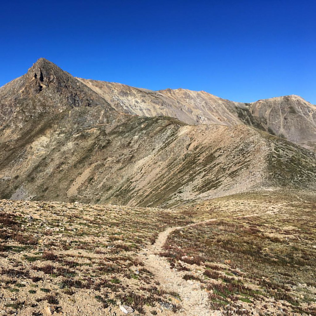 Missouri GulchHiking · ~14 min drivePhoto: gregor_y, CC BY-SA 2.0 (via Flickr)Emerald PeakHiking · ~13 min drivePhoto: jl_2, CC BY-SA 2.0 (via Flickr)Mt. Belford - Missouri GulchHiking · ~13 min drivePhoto: Mark Crockett, CC BY 3.0 (via Wikimedia Commons)
Also worth it near here
Best months: June–July and September. Best months have typical highs of 55–85 °F, lows of 30 °F or warmer (32 °F where the station doesn't record snow), at most one snowy day and no more than 12 wet days.
Jan
30° / 5°
10 wet
Feb
31° / 6°
10 wet
Mar
37° / 12°
11 wet
Apr
43° / 19°
11 wet
May
54° / 27°
9 wet
Jun
66° / 34°
7 wet
Jul
71° / 39°
12 wet
Aug
68° / 38°
13 wet
Sep
61° / 32°
9 wet
Oct
50° / 24°
8 wet
Nov
37° / 13°
9 wet
Dec
29° / 5°
10 wet
Typical high / low (°F) and days with rain or snow, 1991–2020. Measured at Leadville Lake Co Ap, CO, 23.8 mi away at 9,932 ft. The station sits about 1,200 ft lower than this place, so expect it a little cooler here. This station doesn't record snowfall. Source: NOAA NCEI U.S. Climate Normals 1991–2020.


