Sheep Ridge
- 1.0 mi
- round trip
- 301 ft
- climb
- 6,001 ft
- high point
- Out and back
- route
- Apr–May, Sep–Oct
- best months
Sheep Ridge is an easy, out-and-back hike in western Colorado on Bureau of Land Management land within the Uncompahgre Field Office. The route covers about 2 miles and rises 301 feet from the trailhead at 5,804 feet to a high point of 6,001 feet. The climb is front-loaded, with the steepest stretch at about 0.35 miles in, where the grade reaches 10 percent. The most comfortable months for a visit are late spring and early fall. Typical averages from a nearby weather station in Montrose show May highs around 74°F and September highs near 79°F, with July peaking around 90°F. The trip takes about an hour. Speed Ridge lies just 0.1 mile away, and Eagle Ridge and Teton Ridge are each about half a mile off. For an overnight stay, Black Canyon/Montrose KOA Kampground is about 3.7 miles away.
Local outfitters
- Cedar Creek RV Park and Lodging4 mi away
- Peak Mountain Guides37 mi away
Not on Roamze yet. Their page has how to reach them.
- Speed RidgeHiking0.1 mi
- Eagle RidgeHiking0.5 mi
- Teton RidgeHiking0.5 mi
- Black Canyon/Montrose KOA KampgroundCamping3.7 mi
- Cedar Creek RV ParkCamping3.9 mi
- MontroseRock climbing4.8 mi
 Black Canyon of the GunnisonRock climbingPhoto: scostello22, CC BY 2.0 (via Flickr)7.5 mi
- Gunnison RiverRiver fishing8.8 mi
Source: Roamze catalog (indexable pages within 10 miles, PostGIS distance)
- High Point OverlookHiking · ~11 min drive
 Warner Point Nature TrailHiking · ~11 min drivePhoto: joannapoe, CC BY-SA 2.0 (via Flickr)
 Chasm View TrailHiking · ~14 min drivePhoto: Frans-Banja Mulder, CC BY 3.0 (via Wikimedia Commons)
- Red Rocks-Nighthorse TrailHiking · ~13 min drive
- Sunset View Overlook at Black CanyonHiking · ~12 min drive
- Cedar Point OverlookHiking · ~13 min drive
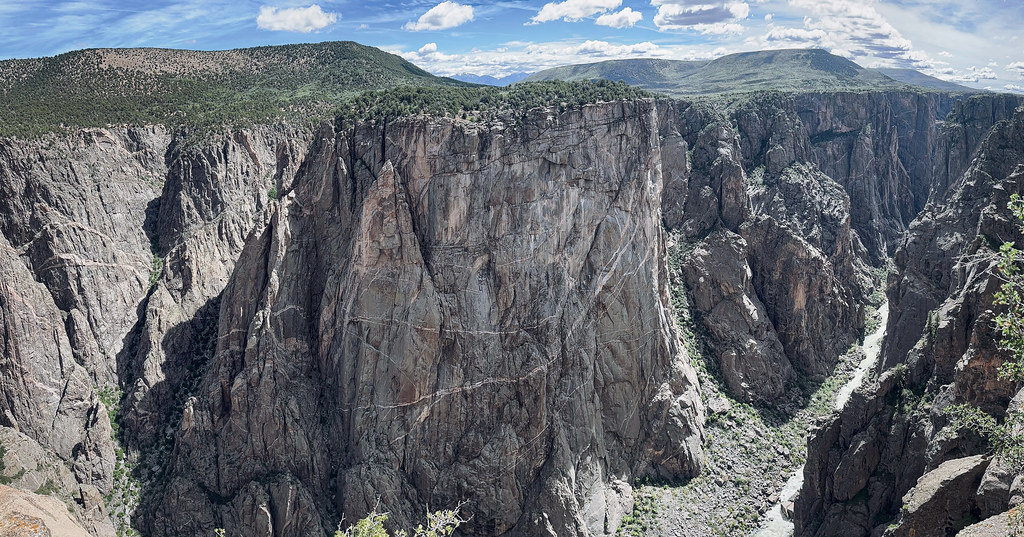 North Vista TrailHiking · ~15 min drivePhoto: joannapoe, CC BY-SA 2.0 (via Flickr)
- Dragon Point OverlookHiking · ~13 min drive
- Painted Wall OverlookHiking · ~13 min drive
 Rim Rock Nature TrailHiking · ~15 min drivePhoto: stevelyon, CC BY-SA 2.0 (via Flickr)
Also worth it near here
Best time to visit Sheep Ridge
Best months: April–May and September–October. Best months have typical highs of 55–85 °F, lows of 30 °F or warmer (32 °F where the station doesn't record snow), at most one snowy day and no more than 12 wet days.
Jan
38° / 16°
5 wet
Feb
45° / 22°
6 wet
Mar
55° / 29°
7 wet
Apr
63° / 35°
7 wet
May
74° / 43°
6 wet
Jun
86° / 52°
4 wet
Jul
90° / 58°
7 wet
Aug
87° / 56°
7 wet
Sep
79° / 48°
7 wet
Oct
65° / 36°
6 wet
Nov
51° / 25°
5 wet
Dec
39° / 16°
5 wet
Typical high / low (°F) and days with rain or snow, 1991–2020. Measured at Montrose Rgnl Ap, CO, 3.5 mi away at 5,759 ft. This station doesn't record snowfall. Source: NOAA NCEI U.S. Climate Normals 1991–2020.

Map and trail data © OpenStreetMap contributors
