
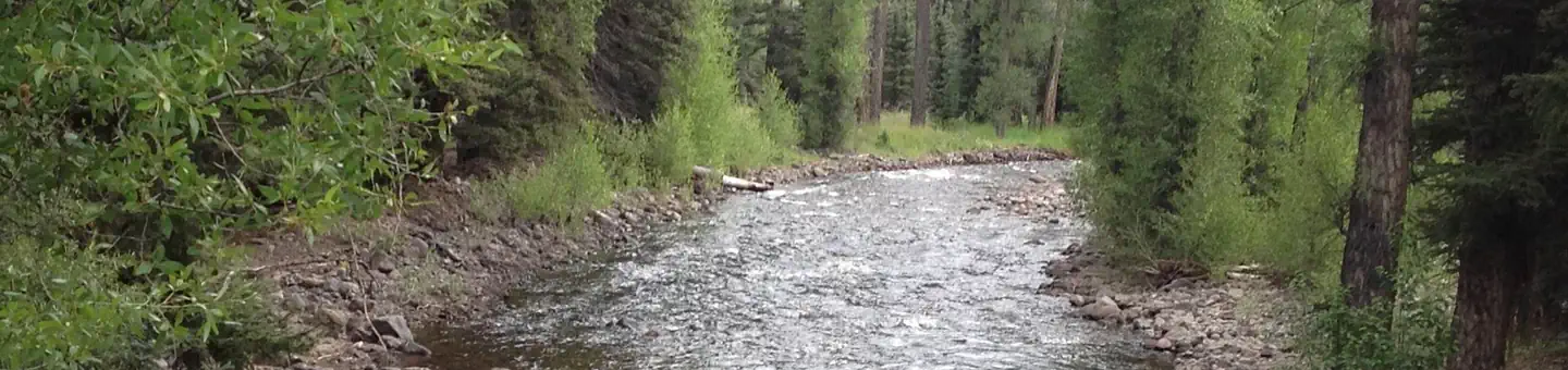
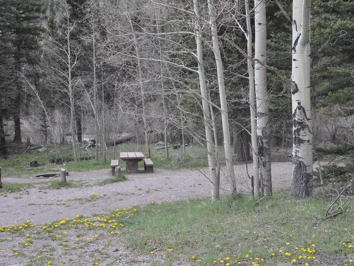

Pagosa Riverside Campground
Hiking business nearby (~30 mi away) — hasn't claimed their Roamze page yet
Free — you'll pick up right here.
Watch this trail
Sign up to watch it — saving subscribes you to gate, closure and report changes.
Colorado
5.1 mi
Distance
2,053 ft
Gain
We won't guess. Here is exactly what we do and don't know.
What we do know
Inside Rio Grande National Forest
2 managing-area boundaries mapped — agency alerts for them feed this page automatically.
Boundary data
What's missing
No access route mapped
We don't yet know which road reaches this trailhead, so we can't tell you if it's gated.
Nobody's filed a report here yet — be the first.
Why you'll love it
Ruybalid
AI-suggested draft · review before you go
Ruybalid is a 5.1-mile loop trail located in Colorado near the town of Colorado, managed by the Grand Mesa, Uncompahgre and Gunnison National Forest's Grand Valley Ranger District. This loop route offers hikers a moderate outing through the landscape of western Colorado's national forest system. The trail is maintained by the GMUG National Forest, ensuring it remains accessible for recreation. As a loop configuration, hikers return to their starting point, eliminating the need for shuttle arrangements or out-and-back travel. The Ruybalid Trail is ideal for hikers seeking a day hike option without the commitment of a lengthy backpacking trip. The loop format makes it convenient for those who prefer circular routes. The trail's proximity to Colorado makes it accessible for both local visitors and those traveling to the region. For current trail conditions, maintenance updates, or seasonal closures, contact the Grand Valley Ranger District directly, as conditions can change throughout the year based on weather and maintenance schedules.

No Name Lake
~2 min drive
5.5 mi · Moderate

Roaring Gulch East
~4 min drive
3.5 mi · Hard

Flat
~11 min drive
3.3 mi · Easy
Continental Divide Trail
~22 min drive
Moderate alpine hike along the Continental Divide with expansive ridge views.

Conejos River
~20 min drive
3.7 mi · Moderate

Roaring Gulch
~6 min drive
20 mi · Hard
Alverjones
~4 min drive
2.2 mi · Easy
Cdt - New Mexico Section
~24 min drive
A scenic Continental Divide Trail segment through New Mexico's high country.

Crater Lake
~33 min drive
A 5.96-mile moderate out-and-back trail in Colorado leading to Crater Lake.
South Fork
~6 min drive
22 mi · Hard
Local operatorsoffering guided trips. You book directly with them — Roamze doesn’t take a cut.
Pagosa Riverside Campground
Hiking business nearby (~30 mi away) — hasn't claimed their Roamze page yet
Pagosa Pines RV Park
Hiking business nearby (~33 mi away) — hasn't claimed their Roamze page yet
Wilderness Journeys Pagosa
Hiking business nearby (~34 mi away) — hasn't claimed their Roamze page yet