Flying Saucer RV Park
Campground
Campground · 3.5 mi from the trail
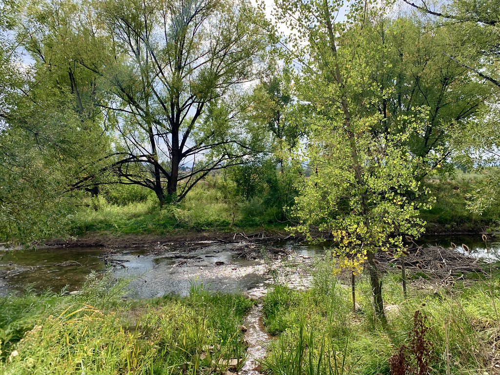 Photo: jjes84, CC BY 2.0 (via Flickr)
Clear at last check
Weather is good · OpenWeather · checked 15 h ago
East Loop is a short, easy hike in Colorado, about half a mile long and rising roughly 170 feet from a starting point near 5,477 feet to a high of about 5,532 feet. The nearest town is Westgate, less than a mile away. The route is a gentle walk with a small climb. The steepest stretch comes about a third of the way in, with a grade of about 6 percent. The trail also has a slight drop of about 118 feet at the end, so the total gain is about 173 feet one way. For comfortable weather, late spring and early fall are the best bets. Typical averages from a nearby weather station show May highs around 69°F and September highs around 77°F, with July the warmest month at about 86°F. The Paved Loop sits just 0.1 mile away, and Garfield Lake Park Trail is about 2.8 miles off. For time on a bike, the Alameda Multi-Use Path is about 3 miles away, and Flying Saucer RV Park offers camping about 3.5 miles from the trail.
Flying Saucer RV Park
Campground
 If it rainsHustvedt, CC BY-SA 3.0 · Wikimedia Commons
Places © OpenStreetMap contributors, Places © Overture Maps Foundation · Photos: Hustvedt, CC BY-SA 3.0 (commons)
More in Idaho SpringsNot on Roamze yet. Their page has how to reach them.
Paved LoopHikingPhoto: jjes84, CC BY 2.0 (via Flickr)0.1 mi The Black HoleRock climbingPhoto: gregor_y, CC BY-SA 2.0 (via Flickr)5.9 mi
Source: Roamze catalog (indexable pages within 10 miles, PostGIS distance)
Paved LoopHiking · Next doorPhoto: jjes84, CC BY 2.0 (via Flickr) Fisherman's TrailHiking · ~6 min drivePhoto: oddharmonic, CC BY-SA 2.0 (via Flickr)
 Ruby Hill Loop TrailHiking · ~7 min drivePhoto: jjes84, CC BY 2.0 (via Flickr)
 Mt. Carbon LoopHiking · ~7 min drivePhoto: oddharmonic, CC BY-SA 2.0 (via Flickr)Connector TrailHiking · ~7 min drivePhoto: oddharmonic, CC BY-SA 2.0 (via Flickr)
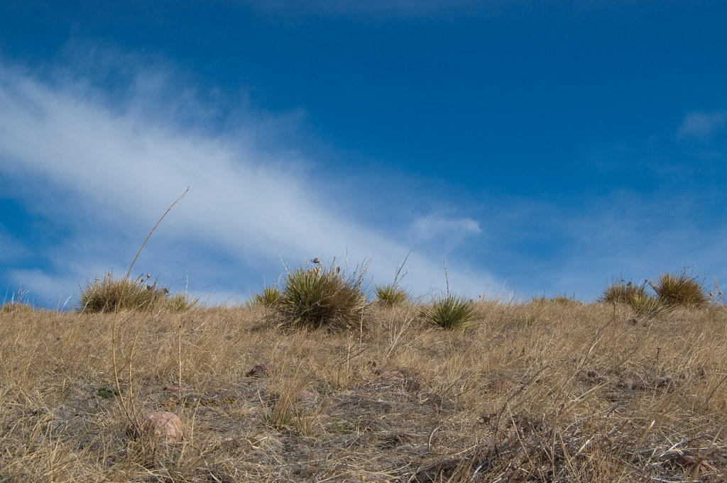 Green Mountain TrailHiking · ~8 min drivePhoto: Ben Mason, CC BY 2.0 (via Flickr)
 Cowen TrailHiking · ~8 min drivePhoto: gregor_y, CC BY-SA 2.0 (via Flickr)Cowen TrailHiking · ~8 min drivePhoto: gregor_y, CC BY-SA 2.0 (via Flickr)Green Mountain TrailHiking · ~9 min drivePhoto: Ben Mason, CC BY 2.0 (via Flickr)
Best months: April–June and August–October. Best months have typical highs of 55–85 °F, lows of 30 °F or warmer (32 °F where the station doesn't record snow), at most one snowy day and no more than 12 wet days.
Jan
46° / 19°
4 wet
Feb
47° / 20°
4 wet
Mar
55° / 28°
5 wet
Apr
60° / 34°
7 wet
May
69° / 44°
9 wet
Jun
81° / 53°
8 wet
Jul
86° / 60°
8 wet
Aug
85° / 57°
9 wet
Sep
77° / 49°
6 wet
Oct
64° / 37°
5 wet
Nov
53° / 28°
4 wet
Dec
45° / 20°
4 wet
Typical high / low (°F) and days with rain or snow, 1991–2020. Measured at Marston Fltr Plt, CO, 3.5 mi away at 5,610 ft. This station doesn't record snowfall. Source: NOAA NCEI U.S. Climate Normals 1991–2020.
Map and trail data © OpenStreetMap contributors

