Rim Trail
- 6.3 mi
- round trip
- 879 ft
- climb
- 9,418 ft
- high point
- Out and back
- route
Caution at last check
Agency alerts are in effect for this area; weather is marginal · USFS, OpenWeather · checked 13 h ago
Is Rim Trail open right now?
Closure in the area
There's a closure order in Grand Mesa, Uncompahgre and Gunnison National Forests. It doesn't name Rim Trail, so check the source for the area it covers (2 listed).
Gold Mountain Wildfire Roads and Trails Closure Order v 4.0
Agency closure covering Grand Mesa, Uncompahgre and Gunnison National Forests · USFS · Grand Mesa, Uncompahgre and Gunnison National Forests
Ophir Pass Road Closure
Agency closure covering Grand Mesa, Uncompahgre and Gunnison National Forests · USFS · Grand Mesa, Uncompahgre and Gunnison National Forests
Potter Basin Road Closure Order
Agency alert covering Grand Mesa, Uncompahgre and Gunnison National Forests · USFS · Grand Mesa, Uncompahgre and Gunnison National Forests
Beaver Park Road Closure Order
Agency alert covering Grand Mesa, Uncompahgre and Gunnison National Forests · USFS · Grand Mesa, Uncompahgre and Gunnison National Forests
TERMINATION OF ORDER - FIRE RESTRICTIONS
Agency alert covering Grand Mesa, Uncompahgre and Gunnison National Forests · USFS · Grand Mesa, Uncompahgre and Gunnison National Forests
As of · Source: USFS · Grand Mesa, Uncompahgre and Gunnison National Forests. Agencies don't list every closure — check before you go.
Rim Trail is a 12.6-mile out-and-back hike on the Forest Service land of the Grand Valley Ranger District, part of the Grand Mesa, Uncompahgre and Gunnison National Forests in Colorado. The trail starts at about 8,980 feet and climbs to a high point of 9,418 feet, with a total elevation gain of 879 feet for the round trip. The route is front-loaded, with the steepest stretch at mile 3.1, where the grade reaches about 9 percent. The trail is rated hard. The hike is best planned as a full-day outing. The estimated time is about 4.5 hours. The trailhead sits at the low point of the route, and the return is the same path back down. Cow Creek lies just 0.8 miles away, and the Unaweep and Middle Fork Bear Canyon hikes are both within about 2 miles. For an overnight stay, Divide Forks Campground is roughly 3.8 miles off.
Local outfitters
- RV Ranch at Grand Junction32 mi away
- CampV33 mi away
Not on Roamze yet. Their page has how to reach them.
- Cow CreekHiking0.8 mi
- UnaweepHiking1.5 mi
- Middle Fork Bear CanyonHiking1.7 mi
- Divide Forks CampgroundCamping3.8 mi
- OAK CABINCamping5.4 mi
- Aspen Leaf Cabin (Uncompahgre National Forest, Co)Camping5.4 mi
- Wildcat ComplexRock climbing8.1 mi
- Wildcat One Northwest FaceRock climbing8.1 mi
Source: Roamze catalog (indexable pages within 10 miles, PostGIS distance)
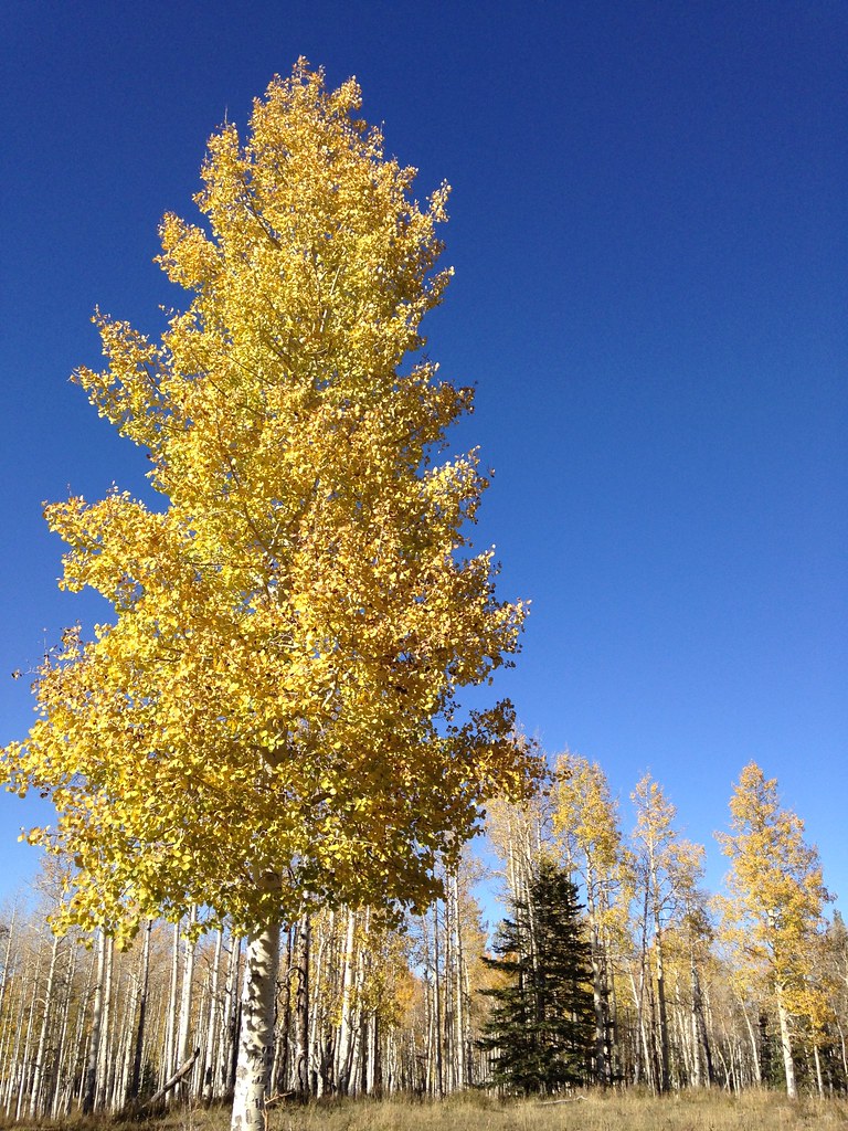 Black PineHiking · ~17 min drivePhoto: iagoarchangel, CC BY-SA 2.0 (via Flickr)
- Reservoir #1Hiking · ~19 min drivePhoto: iagoarchangel, CC BY-SA 2.0 (via Flickr)
- Cow CreekHiking · ~1 min drive
- LONG CANYONHiking · ~12 min drive
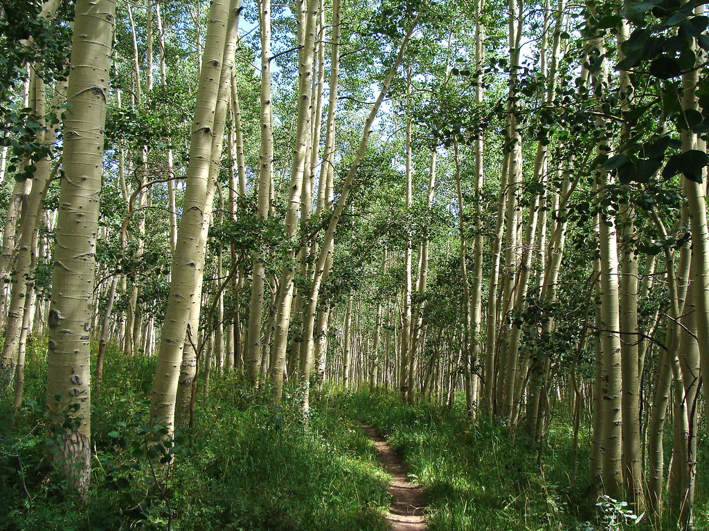 HaypressHiking · ~18 min drivePhoto: iagoarchangel, CC BY-SA 2.0 (via Flickr)
- BIG CREEK CUTOFFHiking · ~6 min drive
- UnaweepHiking · ~3 min drive
- Middle Fork Bear CanyonHiking · ~3 min drive
- MAILBOX CUTOFFHiking · ~6 min drive
- UTE CREEKHiking · ~4 min drive

Map and trail data © OpenStreetMap contributors
