Crags Campground
Campground
Campground · 1.7 mi from the trail
Alert in the area
The Forest Service lists 3 alerts for Medicine Bow-Routt National Forest.
Access Impact: Big Creek Lakes Dam Project
Agency alert covering Medicine Bow-Routt National Forest · USFS · Medicine Bow-Routt National Forest
Trail & Access Impact: Stillwater Reservoir Project
Agency alert covering Medicine Bow-Routt National Forest · USFS · Medicine Bow-Routt National Forest
Snowy Range - 2026 Active Vegetation Operations
Agency alert covering Medicine Bow-Routt National Forest · USFS · Medicine Bow-Routt National Forest
As of · Source: USFS · Medicine Bow-Routt National Forest. Agencies don't list every closure — check before you go.
Ridge is an easy hike of about 1.5 miles with a 300-foot elevation gain, set in the Parks Ranger District of Medicine Bow-Routt National Forest in Colorado. The trail lies within State Forest State Park, which is managed by State Fish and Wildlife. Summer is the most comfortable time to go. A nearby weather station at about 9,000 feet records typical July highs near 73°F and lows around 40°F, while June and August run close behind. Winters are cold, with typical highs around 30°F from December through February. The hike takes about half an hour, so it works well as a short outing. Diamond Peaks Trail starts less than a mile away, and American Lakes Trail is about 1.2 miles off. For an overnight stay, Grandview Campground and Chambers Lake Campground sit roughly 6 miles from the trail.
Crags Campground
Campground
Trail Ridge Cafe
Restaurant
Images of Rocky Mountain National Park
Gallery
Places © OpenStreetMap contributors
More in Estes ParkNot on Roamze yet. Their page has how to reach them.
Daily highs and lows, wind and the chance of precipitation at the summit and route start for the next 7 days, from the Open-Meteo model.
 Diamond Peaks TrailHikingPhoto: KimonBerlin, CC BY-SA 2.0 (via Flickr)0.9 mi
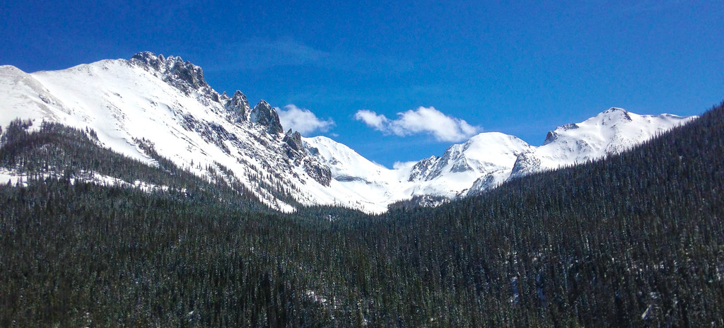 American Lakes TrailHikingPhoto: halseike, CC BY 2.0 (via Flickr)1.2 mi
Source: Roamze catalog (indexable pages within 10 miles, PostGIS distance)
Diamond Peaks TrailHiking · ~2 min drivePhoto: KimonBerlin, CC BY-SA 2.0 (via Flickr)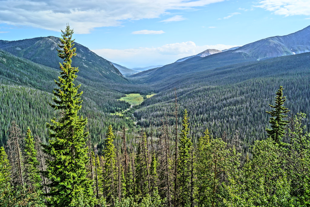 Thunder Pass TrailHiking · ~8 min drivePhoto: Yssso, CC BY-SA 2.0 (via Flickr)
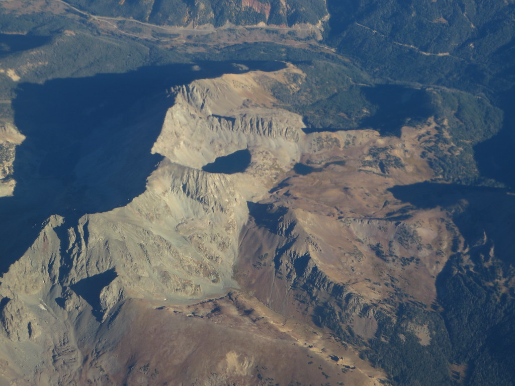 Michigan Ditch TrailHiking · ~4 min drivePhoto: Ken Lund, CC BY-SA 2.0 (via Flickr)American Lakes TrailHiking · ~2 min drivePhoto: halseike, CC BY 2.0 (via Flickr)
 Skeleton Gultch TrailHiking · ~8 min drivePhoto: Yssso, CC BY-SA 2.0 (via Flickr)Lake Agnes TrailHiking · ~5 min drivePhoto: Ken Lund, CC BY-SA 2.0 (via Flickr)
 Joe Wright Winter TrailHiking · ~6 min drivePhoto: Ken Lund from Reno, Nevada, USA, CC BY-SA 2.0 (via Wikimedia Commons)
Best months: June–August. Best months have typical highs of 55–85 °F, lows of 30 °F or warmer (32 °F where the station doesn't record snow), at most one snowy day and no more than 12 wet days.
Jan
29° / 3°
11 wet
Feb
30° / 5°
11 wet
Mar
38° / 12°
10 wet
Apr
45° / 20°
10 wet
May
55° / 27°
9 wet
Jun
67° / 33°
8 wet
Jul
73° / 40°
10 wet
Aug
72° / 38°
11 wet
Sep
64° / 31°
9 wet
Oct
51° / 22°
8 wet
Nov
38° / 12°
10 wet
Dec
30° / 4°
12 wet
Typical high / low (°F) and days with rain or snow, 1991–2020. Measured at Gould 4se Sfsp, CO, 5.1 mi away at 9,000 ft. We don't have this place's elevation, so higher spots nearby can run cooler. This station doesn't record snowfall. Source: NOAA NCEI U.S. Climate Normals 1991–2020.
Season: Spring, summer, fall.
Trail may have snow and ice in winter months; wildflowers possible in late spring and early summer
About 1.5 mi.
About 300 ft of climbing round trip.
It is rated easy.
About 1 hour round trip.
Spring, summer, fall.
Map and trail data © OpenStreetMap contributors

