Aunt Sara's Riverdance RV Resort
Campground
Campground · 8.6 mi from the trail
Alert in the area
The Forest Service lists 6 alerts for White River National Forest.
FSR 286, Radical Hill, is closed due to washouts and unsafe conditions
Agency alert covering White River National Forest · USFS · White River National Forest
Limited parking at Snowmass Creek Trailhead
Agency alert covering White River National Forest · USFS · White River National Forest
Grizzly Creek Trail Closure
Agency alert covering White River National Forest · Order 2026-02 · USFS · White River National Forest
Ruedi Marina Day Use area Dump Station is CLOSED
Agency alert covering White River National Forest · USFS · White River National Forest
Asbestos safety closure - Camp Hale
Agency alert covering White River National Forest · USFS · White River National Forest
As of · Source: USFS · White River National Forest. Agencies don't list every closure — check before you go.
Range Trail is a short, easy hike in the Eagle Ranger District of White River National Forest in Colorado, managed by the Forest Service. It's a 0.68-mile out-and-back route with a total climb of 144 feet and a total descent of 144 feet, so it works as a quick outing without much effort. The trail starts at about 8,680 feet and peaks at roughly 8,680 feet, with the steepest section coming early at about 8%. Summer is the most comfortable time to go. Typical averages from a nearby weather station in Meredith show July highs around 81°F with lows near 40°F, while winter highs stay in the mid-30s. Nearby options include North Fork Cattle Creek and Sundell, both hikes within a few miles, and the paddling waters of Cattle Creek. For an overnight stay, Aunt Sara's Riverdance RV Resort is about 8.6 miles away.
Aunt Sara's Riverdance RV Resort
Campground
Bar and grill restaurant
Thermal springs in Colorado
Places © OpenStreetMap contributors, Places © Overture Maps Foundation
More in Glenwood Springs Aunt Sara's Riverdance RV ResortCampingPhoto: inkknife_2000 (7.5 million views +), CC BY-SA 2.0 (via Wikimedia Commons)8.6 mi
 Surgery ButtressRock climbingPhoto: kahunapulej, CC BY-SA 2.0 (via Flickr)9 mi
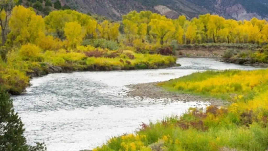 Gypsum CampgroundCampingPhoto: Recreation.gov (RIDB) / public domain9.4 mi
Source: Roamze catalog (indexable pages within 10 miles, PostGIS distance)
 Glenwood Canyon TrailHiking · ~17 min drivePhoto: inkknife_2000 (7.5 million views +), CC BY-SA 2.0 (via Wikimedia Commons)
 Hanging LakeHiking · ~17 min drivePhoto: inkknife_2000 (7.5 million views +), CC BY-SA 2.0 (via Wikimedia Commons)
 Spring Valley Summit TrailHiking · ~20 min drivePhoto: foto3116, CC BY 2.0 (via Flickr)
 Big Top TrailHiking · ~21 min drivePhoto: aboutmytripdotcom, CC BY 2.0 (via Flickr)Swoop's LoopHiking · ~21 min drivePhoto: foto3116, CC BY 2.0 (via Flickr)
Best months: June–September. Best months have typical highs of 55–85 °F, lows of 30 °F or warmer (32 °F where the station doesn't record snow), at most one snowy day and no more than 12 wet days.
Jan
34° / 4°
Feb
36° / 6°
Mar
43° / 13°
Apr
51° / 21°
May
63° / 28°
Jun
75° / 34°
Jul
81° / 40°
Aug
80° / 39°
Sep
71° / 32°
Oct
61° / 23°
Nov
45° / 13°
Dec
34° / 5°
Typical high / low (°F) and days with rain or snow, 1991–2020. Measured at Meredith, CO, 18.7 mi away at 7,825 ft. The station sits about 900 ft lower than this place, so expect it a little cooler here. This station doesn't record snowfall. Source: NOAA NCEI U.S. Climate Normals 1991–2020.
Map and trail data © OpenStreetMap contributors
