Basalt Area
Campground
Campground · 5.5 mi from the trail
Alert in the area
The Forest Service lists 6 alerts for White River National Forest.
FSR 286, Radical Hill, is closed due to washouts and unsafe conditions
Agency alert covering White River National Forest · USFS · White River National Forest
Limited parking at Snowmass Creek Trailhead
Agency alert covering White River National Forest · USFS · White River National Forest
Grizzly Creek Trail Closure
Agency alert covering White River National Forest · Order 2026-02 · USFS · White River National Forest
Ruedi Marina Day Use area Dump Station is CLOSED
Agency alert covering White River National Forest · USFS · White River National Forest
Asbestos safety closure - Camp Hale
Agency alert covering White River National Forest · USFS · White River National Forest
As of · Source: USFS · White River National Forest. Agencies don't list every closure — check before you go.
Basalt Mountain is a 7.2-mile out-and-back hike in Colorado's White River National Forest, within the Sopris Ranger District. The trail rises from about 9,500 feet to a high point of 9,897 feet, with a total elevation gain of 322 feet. The Forest Service manages the land, and the route is rated hard. The trail is natural-surfaced and open year-round. Bikes and horses are both allowed, so the route works for riders and pack animals as well as hikers. Summer is the most comfortable time to go. Typical averages from a nearby weather station at a similar elevation show July highs around 73°F with lows near 39°F, while winter highs stay around 31°F. Several other trails start close by. Mill Creek and Blue Creek are each about 0.8 miles away, and Ditch Trail is about 1.2 miles off. The Roaring Fork River, about 5 miles away, offers river fishing.
Basalt Area
Campground
Wendy's
Fast food
Thermal springs in Colorado
Places © OpenStreetMap contributors
More in Glenwood SpringsBest months: June–August. Best months have typical highs of 55–85 °F, lows of 30 °F or warmer (32 °F where the station doesn't record snow), at most one snowy day and no more than 12 wet days.
Jan
31° / 3°
8 wet
Feb
33° / 3°
8 wet
Mar
39° / 9°
8 wet
Apr
44° / 18°
8 wet
May
55° / 27°
9 wet
Jun
68° / 34°
9 wet
Jul
73° / 39°
12 wet
Aug
70° / 38°
12 wet
Sep
62° / 31°
8 wet
Oct
51° / 23°
6 wet
Nov
39° / 14°
7 wet
Dec
31° / 6°
7 wet
Typical high / low (°F) and days with rain or snow, 1991–2020. Measured at Sugarloaf Rsvr, CO, 38.1 mi away at 9,738 ft. This station doesn't record snowfall. Source: NOAA NCEI U.S. Climate Normals 1991–2020.
 Photo: Thad Roan from Littleton, CO, USA, CC BY-SA 2.0 (via Wikimedia Commons)
Rio Grande Soft Surface Trail
~17 min drive
0.94-mile out-and-back trail in Colorado with 42 ft of elevation gain.
 Photo: aboutmytripdotcom, CC BY 2.0 (via Flickr)
Big Top Trail
~18 min drive
5.02-mile out-and-back hike in Colorado with 1,248 ft gain/loss
HIKE
NORTH FORK CATTLE CREEK
~4 min drive
9.6-mile out-and-back trail in Colorado with 2,204 ft elevation gain
HIKE
Vasten Trail
~10 min drive
11.84-mile out-and-back trail in Colorado with 2,168 ft elevation gain and loss.
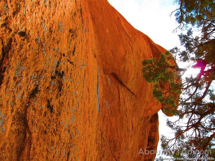 Photo: aboutmytripdotcom, CC BY 2.0 (via Flickr)
Three Gulch Trail
~17 min drive
2.38-mile out-and-back trail in Colorado with 847 ft elevation gain.
HIKE
Mill Creek
~1 min drive
3.46-mile out-and-back trail in Colorado with 184 ft gain.
HIKE
TAYLOR CREEK
~12 min drive
15.8-mile out-and-back trail in Colorado with 5,165 ft gain/loss.
HIKE
Sundell
~16 min drive
20-mile out-and-back trail in Colorado's White River National Forest with 2,260 ft gain.
Photo: Thad Roan from Littleton, CO, USA, CC BY-SA 2.0 (via Wikimedia Commons)Sage Loop
~18 min drive
2.16-mile out-and-back trail in Colorado with 464 ft elevation gain.
HIKE
Ditch Trail
~2 min drive
2.86-mile out-and-back hike in Colorado's White River National Forest with 513 ft gain.
