Basalt Area
Campground
Campground · 6.3 mi from the trail
Alert in the area
The Forest Service lists 6 alerts for White River National Forest.
FSR 286, Radical Hill, is closed due to washouts and unsafe conditions
Agency alert covering White River National Forest · USFS · White River National Forest
Limited parking at Snowmass Creek Trailhead
Agency alert covering White River National Forest · USFS · White River National Forest
Grizzly Creek Trail Closure
Agency alert covering White River National Forest · Order 2026-02 · USFS · White River National Forest
Ruedi Marina Day Use area Dump Station is CLOSED
Agency alert covering White River National Forest · USFS · White River National Forest
Asbestos safety closure - Camp Hale
Agency alert covering White River National Forest · USFS · White River National Forest
As of · Source: USFS · White River National Forest. Agencies don't list every closure — check before you go.
Mill Creek is an out-and-back hike in Colorado's White River National Forest, within the Sopris Ranger District. The trail is managed by the Forest Service and runs about 3.5 miles, with a total elevation gain of 184 feet. It starts at a low point of about 8,068 feet and reaches a high of about 8,884 feet, so the climb is a moderate one over the course of the route. The trail is a natural-surface path that allows both horses and bikes. It is not an accessible trail. The land is open year-round, and the route stays within the Forest Service's boundaries. Summer is the most comfortable time to go. Typical July averages from a nearby weather station in Meredith run around 81°F for highs and 40°F for lows. That station sits about 1,059 feet below the trail's high point, so temperatures on the higher end of the route run cooler. Several other trails lie close by. Basalt Mountain and Ditch Trail are each about 0.8 miles away, and Blue Creek is about 0.9 miles off. For time on the water, the Roaring Fork River is roughly 5.9 miles from the trail.
Basalt Area
Campground
Thermal springs in Colorado
Places © OpenStreetMap contributors
More in Glenwood SpringsBest months: June–September. Best months have typical highs of 55–85 °F, lows of 30 °F or warmer (32 °F where the station doesn't record snow), at most one snowy day and no more than 12 wet days.
Jan
34° / 4°
Feb
36° / 6°
Mar
43° / 13°
Apr
51° / 21°
May
63° / 28°
Jun
75° / 34°
Jul
81° / 40°
Aug
80° / 39°
Sep
71° / 32°
Oct
61° / 23°
Nov
45° / 13°
Dec
34° / 5°
Typical high / low (°F) and days with rain or snow, 1991–2020. Measured at Meredith, CO, 16.9 mi away at 7,825 ft. The station sits about 1,100 ft lower than this place, so expect it a little cooler here. This station doesn't record snowfall. Source: NOAA NCEI U.S. Climate Normals 1991–2020.
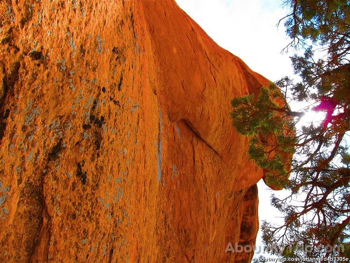 Photo: aboutmytripdotcom, CC BY 2.0 (via Flickr)
Three Gulch Trail
~17 min drive
2.38-mile out-and-back trail in Colorado with 847 ft elevation gain.
 Photo: aboutmytripdotcom, CC BY 2.0 (via Flickr)
Big Top Trail
~18 min drive
5.02-mile out-and-back hike in Colorado with 1,248 ft gain/loss
HIKE
Basalt Mountain
~1 min drive
7.22-mile out-and-back trail in Colorado reaching 9,897 feet.
HIKE
NORTH FORK CATTLE CREEK
~3 min drive
9.6-mile out-and-back trail in Colorado with 2,204 ft elevation gain
 Photo: Thad Roan from Littleton, CO, USA, CC BY-SA 2.0 (via Wikimedia Commons)
Rio Grande Soft Surface Trail
~17 min drive
0.94-mile out-and-back trail in Colorado with 42 ft of elevation gain.
HIKE
Ditch Trail
~1 min drive
2.86-mile out-and-back hike in Colorado's White River National Forest with 513 ft gain.
HIKE
Vasten Trail
~12 min drive
11.84-mile out-and-back trail in Colorado with 2,168 ft elevation gain and loss.
HIKE
TAYLOR CREEK
~11 min drive
15.8-mile out-and-back trail in Colorado with 5,165 ft gain/loss.
Photo: Thad Roan from Littleton, CO, USA, CC BY-SA 2.0 (via Wikimedia Commons)Sage Loop
~18 min drive
2.16-mile out-and-back trail in Colorado with 464 ft elevation gain.
HIKE
Glassier OS Trail
~10 min drive
3.7-mile out-and-back trail in Colorado with 1,471 ft elevation gain.
