Dawson Cabin
Campground
The next 7 weekends are full on Recreation.gov
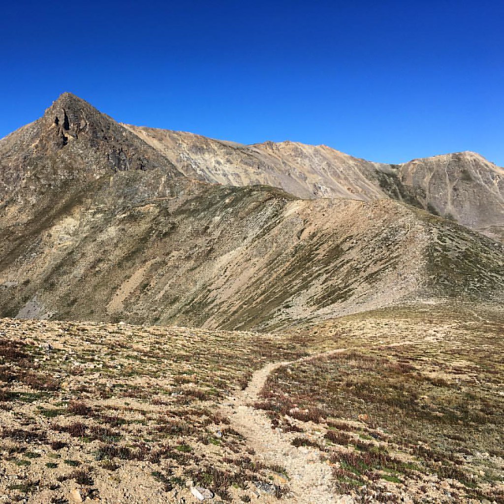 Photo: gregor_y, CC BY-SA 2.0 (via Flickr)
Closure in the area
There's a closure order in Leadville Ranger District. It doesn't name Mount Oxford, so check the source for the area it covers.
Willow Fire Area Closure
Agency closure covering Leadville Ranger District · Order 02-12-01-26-39 · USFS · Leadville Ranger District
FSR 286, Radical Hill, is closed due to washouts and unsafe conditions
Agency alert covering Pike and San Isabel National Forests · USFS · Pike and San Isabel National Forests
Interlaken Hotel and Annex Area closure
Agency alert covering Leadville Ranger District · Order 02-12-01-26-19 · USFS · Leadville Ranger District
Interlaken Hotel Tree Hazards
Agency alert covering Pike and San Isabel National Forests · USFS · Pike and San Isabel National Forests
Sharpe Fire Update
Agency alert covering Pike and San Isabel National Forests · USFS · Pike and San Isabel National Forests
As of · Source: USFS · Leadville Ranger District. Agencies don't list every closure — check before you go.
Mount Oxford is a high mountain in Colorado's Leadville Ranger District, part of the Pike and San Isabel National Forests. The route to the summit is an out-and-back of about 10.4 miles, starting at the Missouri Gulch Trailhead and reaching a high point of 14,160 feet. The climb gains about 5,246 feet in elevation, and the low point on the route sits at 9,646 feet. The Forest Service manages the surrounding national forest land, and the trip is rated expert in difficulty. The trailhead is named Missouri Gulch Trailhead, and the approach is often linked with the Belford traverse. The summit stands among a cluster of peaks. Missouri Mountain and Mount Belford both lie about 0.1 mile away. Clear Creek and Dawson Cabin are each about 1.2 miles off and offer paddling and camping.
Dawson Cabin
Campground
Punky's
Fast food
 If it rainsLongled, CC BY-SA 3.0 · Wikimedia Commons
Historic frontier synagogue building
Places © OpenStreetMap contributors · Photos: Longled, CC BY-SA 3.0 (commons)
More in LeadvilleMissouri MountainHikingPhoto: gregor_y — CC BY-SA 2.0 (via Flickr)0.1 mi Mount BelfordHikingPhoto: jl_2, CC BY-SA 2.0 (via Flickr)0.1 mi
 Twin Lakes AreaRock climbingPhoto: jonathan c. wheeler, CC BY-SA 3.0 (via Wikimedia Commons)5.1 mi
Source: Roamze catalog (indexable pages within 10 miles, PostGIS distance)
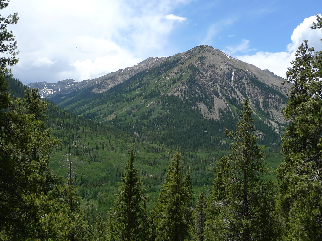 Mount HopeHiking · ~3 min drivePhoto: jl_2, CC BY-SA 2.0 (via Flickr)Quail MountainHiking · ~3 min drivePhoto: jl_2, CC BY-SA 2.0 (via Flickr)
 Twin LakesHiking · ~10 min drivePhoto: Frans-Banja Mulder, CC BY 3.0 (via Wikimedia Commons)
 Mt. Belford - Missouri GulchHiking · ~3 min drivePhoto: Mark Crockett, CC BY 3.0 (via Wikimedia Commons)Emerald PeakHiking · ~3 min drivePhoto: jl_2, CC BY-SA 2.0 (via Flickr)
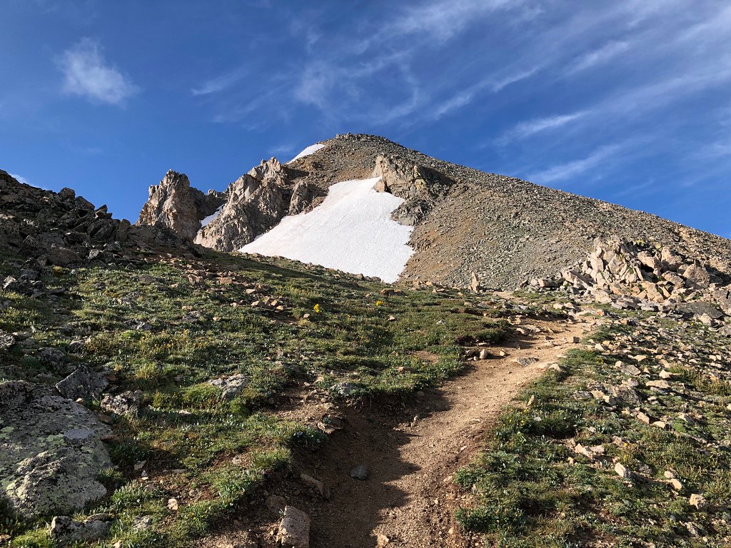 North HuronHiking · ~9 min drivePhoto: supercraigtalbert, CC BY 2.0 (via Flickr)
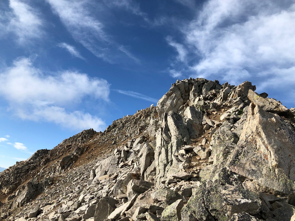 Three ApostlesHiking · ~10 min drivePhoto: supercraigtalbert, CC BY 2.0 (via Flickr)Missouri MtnHiking · ~5 min drivePhoto: Mark Crockett, CC BY 3.0 (via Wikimedia Commons)
 Mt. Huron Trail 1507Hiking · ~6 min drivePhoto: jl_2, CC BY-SA 2.0 (via Flickr)
 Black CloudHiking · ~11 min drivePhoto: jefftakespictures, CC BY 2.0 (via Flickr)
Park at Missouri Gulch Trailhead.
About 10.4 mi round trip from Missouri Gulch Trailhead (via Belford traverse) (about 9,670 ft).
About 5,246 ft of climbing round trip.
It is rated expert.
Missouri Gulch Trailhead (via Belford traverse) (about 9,670 ft).
4: Mt. Oxford - Mt. Belford, Mt. Belford - Missouri Gulch, Mount Belford and Mount Oxford.
Daily highs and lows, wind and the chance of precipitation at the summit and route start for the next 7 days, from the Open-Meteo model.
© openrouteservice.org by HeiGIT | Map data © OpenStreetMap contributors

