Fish Creek
- 16.1 mi
- round trip
- 2,804 ft
- climb
- 11,072 ft
- high point
- Out and back
- route
Is Fish Creek open right now?
Closure in the area
There's a closure order in San Juan National Forest. It doesn't name Fish Creek, so check the source for the area it covers (3 listed).
Travel is not advised to the San Juan NF
Agency closure covering San Juan National Forest · USFS · San Juan National Forest
Closures and dangerous conditions on roads, bridges, and trails from flooding
Agency closure covering San Juan National Forest · USFS · San Juan National Forest
Multiple roads and trails damaged by flooding on SJNF
Agency closure covering San Juan National Forest · USFS · San Juan National Forest
Bear Activity High Across San Juan National Forest
Agency alert covering San Juan National Forest · USFS · San Juan National Forest
West Fork Road and Bridge Closure Order
Agency alert covering Pagosa Ranger District · Order 02-13-06-25-19 · USFS · Pagosa Ranger District
As of · Source: USFS · San Juan National Forest. Agencies don't list every closure — check before you go.
Fish Creek is a 16.1-mile out-and-back hike in the South San Juan Wilderness, part of the Pagosa Ranger District of the San Juan National Forest in Colorado. The trail climbs from a low point of 8,978 feet to a high of 11,072 feet, with a total elevation gain of 2,804 feet. The Forest Service manages the land, and the route is natural-surfaced and open to horses. The trail is rated hard, and the open season runs from June 1 to September 30. The Fish Creek Trailhead is the parking point for the trip. Opal Lake and Fish Lake are both within about 2 miles, and Leche Creek is about 2.8 miles away. For paddling, the Navajo River is about 4.5 miles off.
Local outfitters
- Pagosa Riverside Campground15 mi away
- Pagosa Pines RV Park18 mi away
Not on Roamze yet. Their page has how to reach them.
- Opal LakeHiking1.5 mi
- Fish LakeHiking1.8 mi
- Leche CreekHiking2.8 mi
 Navajo RiverCanoeingPhoto: Dicklyon, CC BY-SA 4.0 (via Wikimedia Commons)4.5 mi
- Blanco Basin CragsRock climbing4.9 mi
- V-Mountain aka V RockRock climbing5.9 mi
 Rio BlancoCanoeingPhoto: Dicklyon, CC BY-SA 4.0 (via Wikimedia Commons)6.6 mi
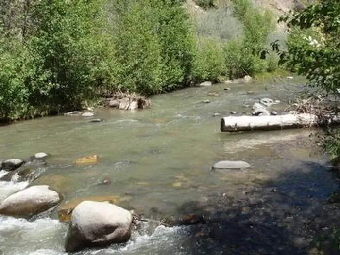 Blanco River Group CampgroundCampingPhoto: Recreation.gov (RIDB) / public domain9.1 mi
Source: Roamze catalog (indexable pages within 10 miles, PostGIS distance)
 BLUE CREEK WINTERHiking · ~15 min drivePhoto: Dicklyon, CC BY-SA 4.0 (via Wikimedia Commons)
- Opal LakeHiking · ~3 min drive
- Leche CreekHiking · ~5 min drive
- Buckles LakeHiking · ~10 min drive
- Blue Creek Winter TrailHiking · ~14 min drive
- NAVAJO PEAKHiking · ~13 min drive
- Blanco RiverHiking · ~8 min drive
- Blue CreekHiking · ~11 min drive
- Quartz LakeHiking · ~14 min drive
- V RockHiking · ~9 min drive
Also worth it near here
- Navajo RiverCanoeing · ~8 min drivePhoto: Dicklyon, CC BY-SA 4.0 (via Wikimedia Commons)
- Hidden LakeLake fishing · ~10 min drive
- V-Mountain aka V RockRock climbing · ~10 min drive
- Blanco River Group CampgroundCamping · ~16 min drive
 Conejos PeakSummit · ~19 min drivePhoto: Jeffrey Beall, CC BY 4.0 (via Wikimedia Commons)
