Frisco Area
Campground
Campground · 3.6 mi from the trail
Alert in the area
The Forest Service lists 6 alerts for White River National Forest.
FSR 286, Radical Hill, is closed due to washouts and unsafe conditions
Agency alert covering White River National Forest · USFS · White River National Forest
Limited parking at Snowmass Creek Trailhead
Agency alert covering White River National Forest · USFS · White River National Forest
Grizzly Creek Trail Closure
Agency alert covering White River National Forest · Order 2026-02 · USFS · White River National Forest
Ruedi Marina Day Use area Dump Station is CLOSED
Agency alert covering White River National Forest · USFS · White River National Forest
Asbestos safety closure - Camp Hale
Agency alert covering White River National Forest · USFS · White River National Forest
As of · Source: USFS · White River National Forest. Agencies don't list every closure — check before you go.
Officers Gulch Pond Trail is a short, easy loop in the Dillon Ranger District of Colorado's White River National Forest, about 0.9 miles long and rising just 19 feet from its low point of 9,450 feet to a high of 9,474 feet. The Forest Service manages the land, and the trail is a natural-surface route that works well for a quick outing on foot or on horseback. The trail is open year-round, and the parking area is at Officers Gulch North Trailhead. Summer is the most comfortable time to go. Typical averages from a nearby weather station in Dillon show July highs around 75°F with lows near 38°F, while winter highs stay in the low 30s. Horses are allowed, and bikes are not. The Officers Gulch Trail B and C mountain biking routes sit about 0.1 mile away. Climbers can head to The Diamond /Officer's Wall Massif, about 0.4 mile off, and Wheeler Lakes (Gore Range #60) offers fishing roughly 1.4 miles away.
Frisco Area
Campground
 If it rainsPlazak, CC BY 3.0 · Wikimedia Commons
Matchless Mine
Attraction
Places © OpenStreetMap contributors, Places © Overture Maps Foundation · Photos: Plazak, CC BY 3.0 (commons)
More in Leadville Tenmile CreekCanoeingPhoto: Jeffrey Beall, CC BY 3.0 (via Wikimedia Commons)1.9 mi
Source: Roamze catalog (indexable pages within 10 miles, PostGIS distance)
 Scenic Overlook Spur TrailHiking · ~2 min drivePhoto: gregor_y, CC BY-SA 2.0 (via Flickr)
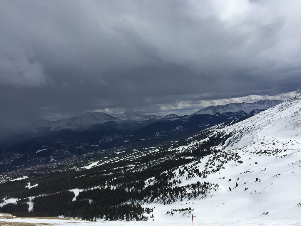 Miner's Creek - Peak 6Hiking · ~6 min drivePhoto: zappowbang, CC BY-SA 2.0 (via Flickr)
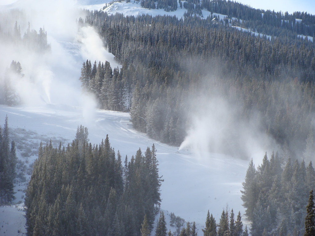 Wheeler LakesHiking · ~3 min drivePhoto: iagoarchangel, CC BY-SA 2.0 (via Flickr)
 Corral Creek TrailHiking · ~6 min drivePhoto: KimonBerlin, CC BY-SA 2.0 (via Flickr)
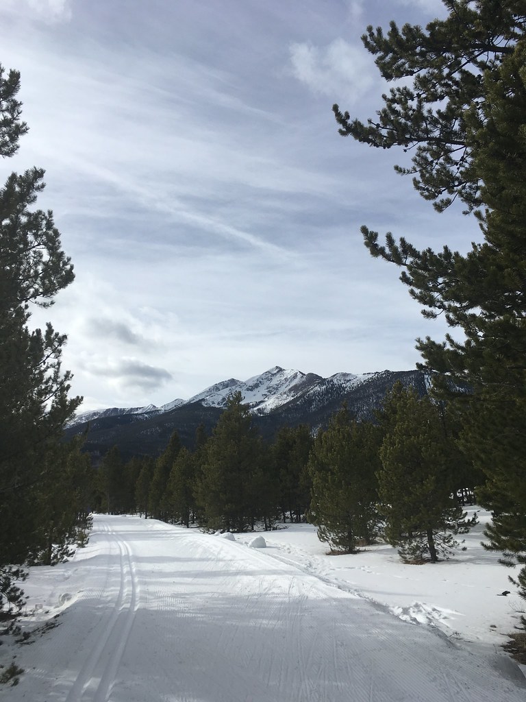 South RainbowHiking · ~5 min drivePhoto: christinejwarner, CC BY 2.0 (via Flickr)
 Trail near Bills Ranch LakeHiking · ~7 min drivePhoto: Hamradio, CC BY 3.0 (via Wikimedia Commons)
Also worth it near here
 Officers GulchMountain biking · Next doorPhoto: Michael Barera, CC BY-SA 4.0 (via Wikimedia Commons)
 Tenmile PeakSummit · ~2 min drivePhoto: Hogs555, CC BY-SA 3.0 (via Wikimedia Commons)
 Wheeler Lakes TrailCross-country skiing · ~3 min drivePhoto: Michael Barera, CC BY-SA 4.0 (via Wikimedia Commons)
Best months: June–July. Best months have typical highs of 55–85 °F, lows of 30 °F or warmer (32 °F where the station doesn't record snow), at most one snowy day and no more than 12 wet days.
Jan
31° / 1°
12 wet
Feb
33° / 4°
11 wet
Mar
41° / 10°
11 wet
Apr
47° / 18°
11 wet
May
58° / 26°
10 wet
Jun
69° / 33°
9 wet
Jul
75° / 38°
12 wet
Aug
73° / 37°
13 wet
Sep
66° / 30°
10 wet
Oct
54° / 21°
8 wet
Nov
41° / 11°
9 wet
Dec
32° / 3°
11 wet
Typical high / low (°F) and days with rain or snow, 1991–2020. Measured at Dillon 1 E, CO, 8.5 mi away at 9,065 ft. This station doesn't record snowfall. Source: NOAA NCEI U.S. Climate Normals 1991–2020.
